Velo Spirit » Road biking the length of the Alpine Arc
Road biking the length of the Alpine Arc
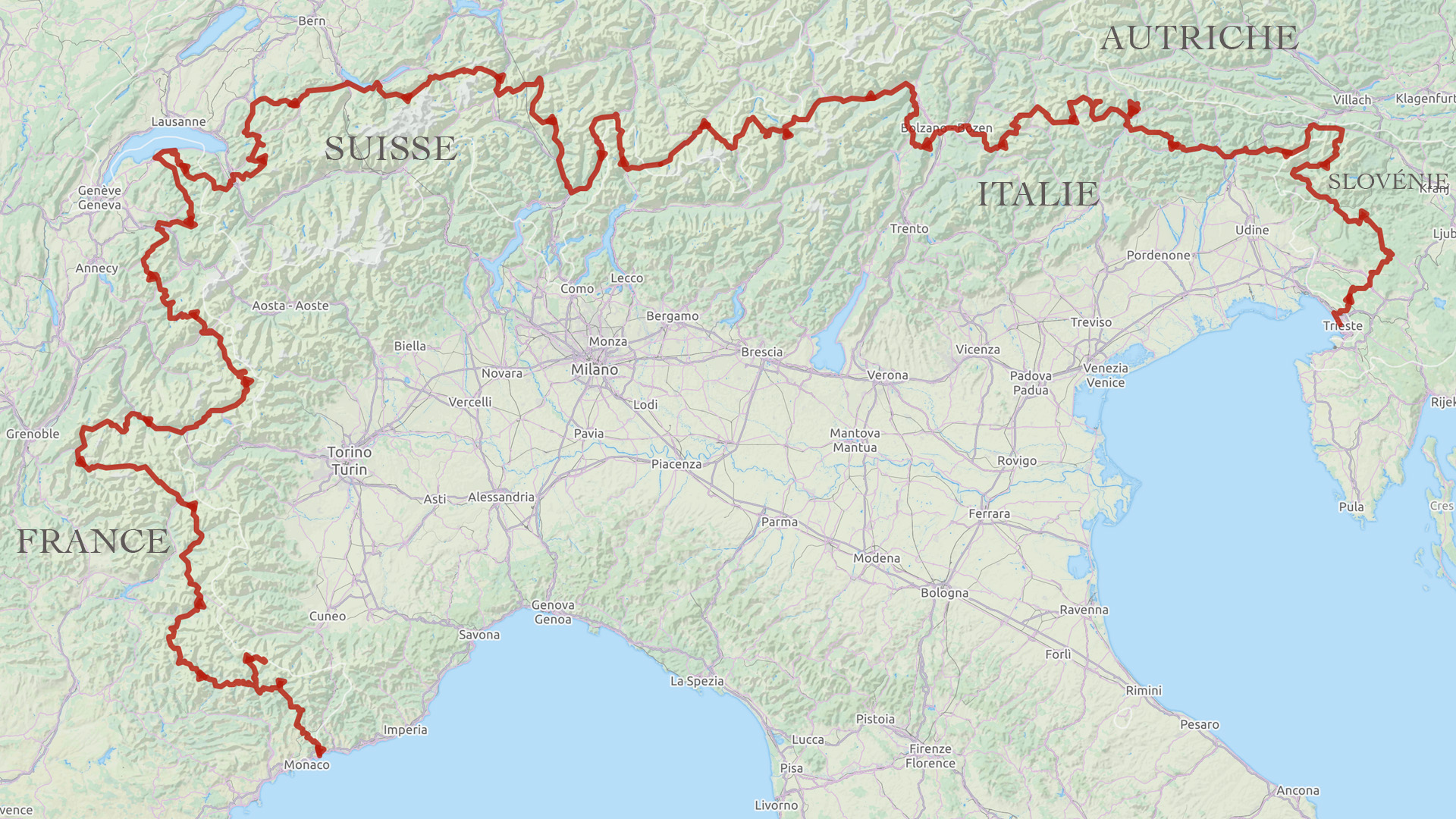
From Trieste to Menton, the full traverse of the Alpine Arc involves riding some 2150 kilometres, ascending around sixty mountain passes and over 54000 metres of climbing. An epic mountain challenge, shared here through a long photographic voyage from East to West, then from North to South: over 80 images, from Slovenia to the Mediterranean Sea!
Photos: Ignacio Esnaola, Pascal Gaudin, Géraldine Benestar Text: Géraldine Benestar
This article is supported by FRANCE BIKE TRIPS
To view the content, please switch your smartphone to landscape format.
Crossing Slovenia, Italy, Switzerland and France, this veritable alpine traverse is a once in a lifetime experience, taking 3 weeks (indicative, largely dependant on how far you're prepared to ride each day!). Numerous variants can also be added to the itinerary.
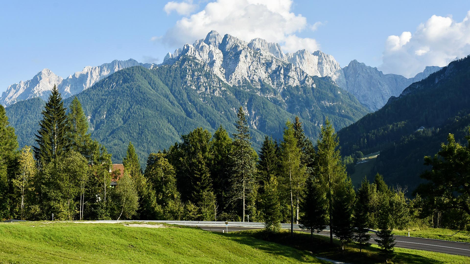
Welcome to the Julian Alps of Slovenia, oriental extremity of the Alpine Arc. Characterised by its imposing limestone summits, the range peaks at 2864 metres on the Triglav.
© Iloorraa on Pixabay
© Iloorraa on Pixabay
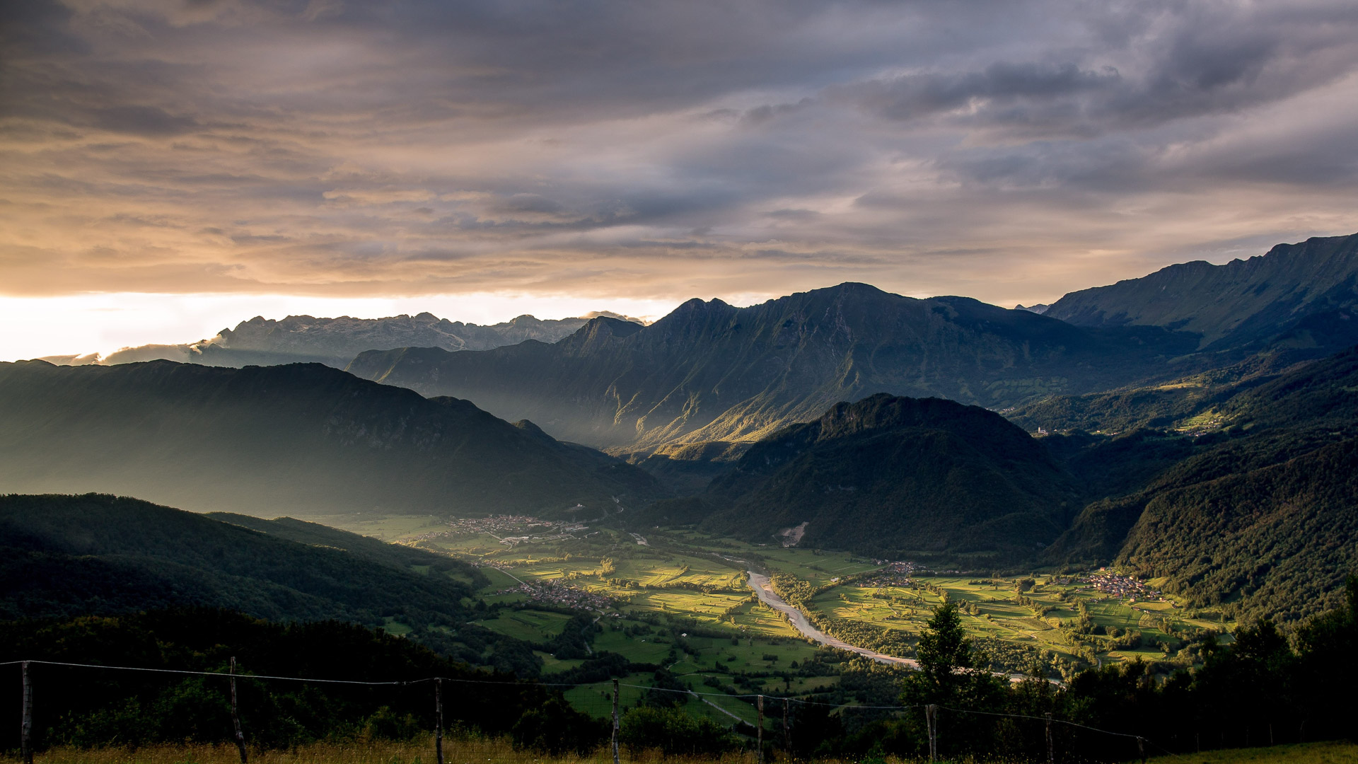
Evening sunlight over the pretty valley of Bovec, a major hub for adventure sports.
© Nathalie Sevillia on Unsplash
© Nathalie Sevillia on Unsplash
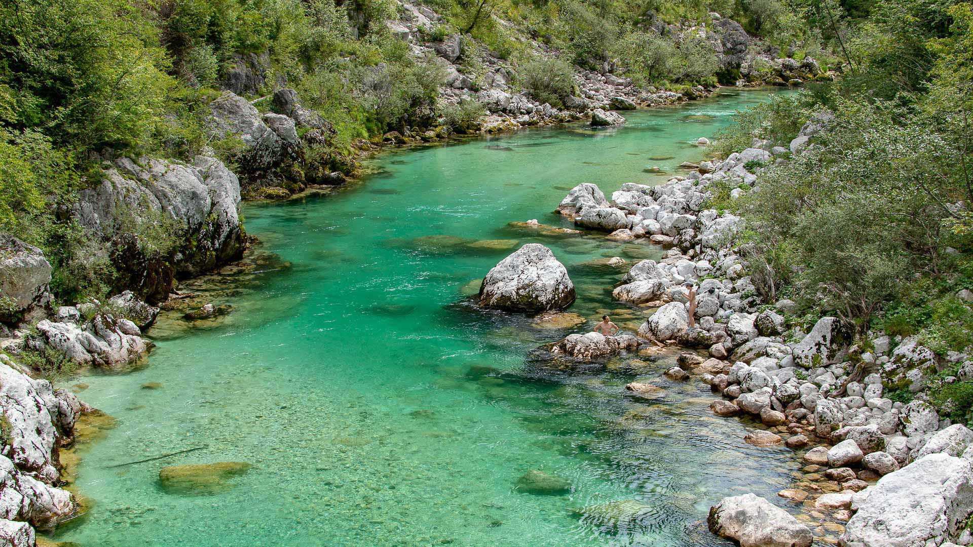
A nature lovers paradise, Slovenia is criss-crossed by some incredible, crystal clear rivers. The most famous is the River Soča, renowned for its stunning beauty and distinctive emerald green waters... The cycle route follows the river and offers some great swimming oportunities.
© Jonathan Reichel
© Jonathan Reichel
km 185
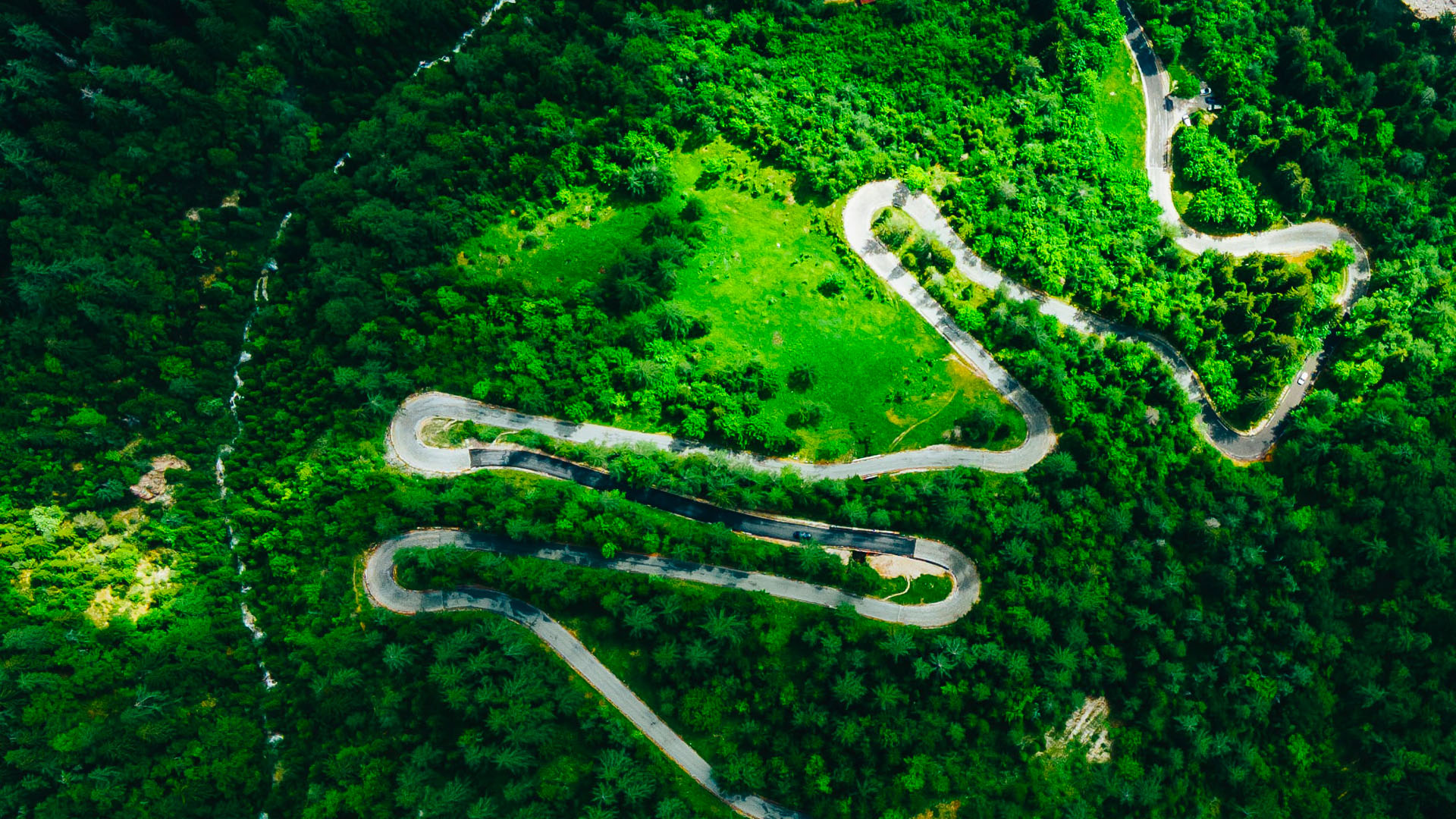
Viewed from above, the Vršič Pass is particularly impressive. At 1611 metres, it's the highest road pass in Slovenia. It's 2 sides offer a total of 50 hairpin bends, as well as several sections at close to 13%.
© Miha Rekar on Unsplash
Viewed from above, the Vršič Pass is particularly impressive. At 1611 metres, it's the highest road pass in Slovenia. It's 2 sides offer a total of 50 hairpin bends, as well as several sections at close to 13%.
© Miha Rekar on Unsplash
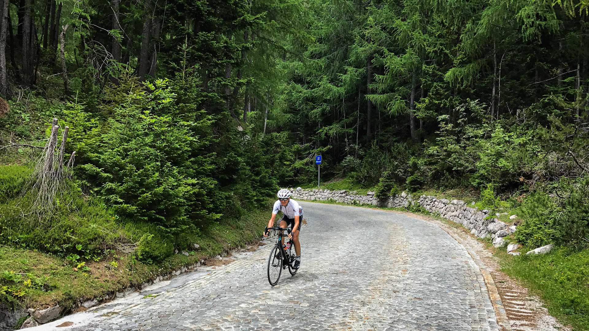
Certain sections of the Vršič Pass are cobbled, testament to the work carried out by thousands of Russian prisoners during the First World War.
km 325
After crossing the Italian border, the route heads into the mighty Dolomites! With their unique rock type (Dolomite) and formation, the Dolomites offer some particularly impressive and huge rock faces. The range is made up of several distinct groupo, criss-crossed by numerous road passes, often topping out at over 2000 metres.
After crossing the Italian border, the route heads into the mighty Dolomites! With their unique rock type (Dolomite) and formation, the Dolomites offer some particularly impressive and huge rock faces. The range is made up of several distinct groupo, criss-crossed by numerous road passes, often topping out at over 2000 metres.
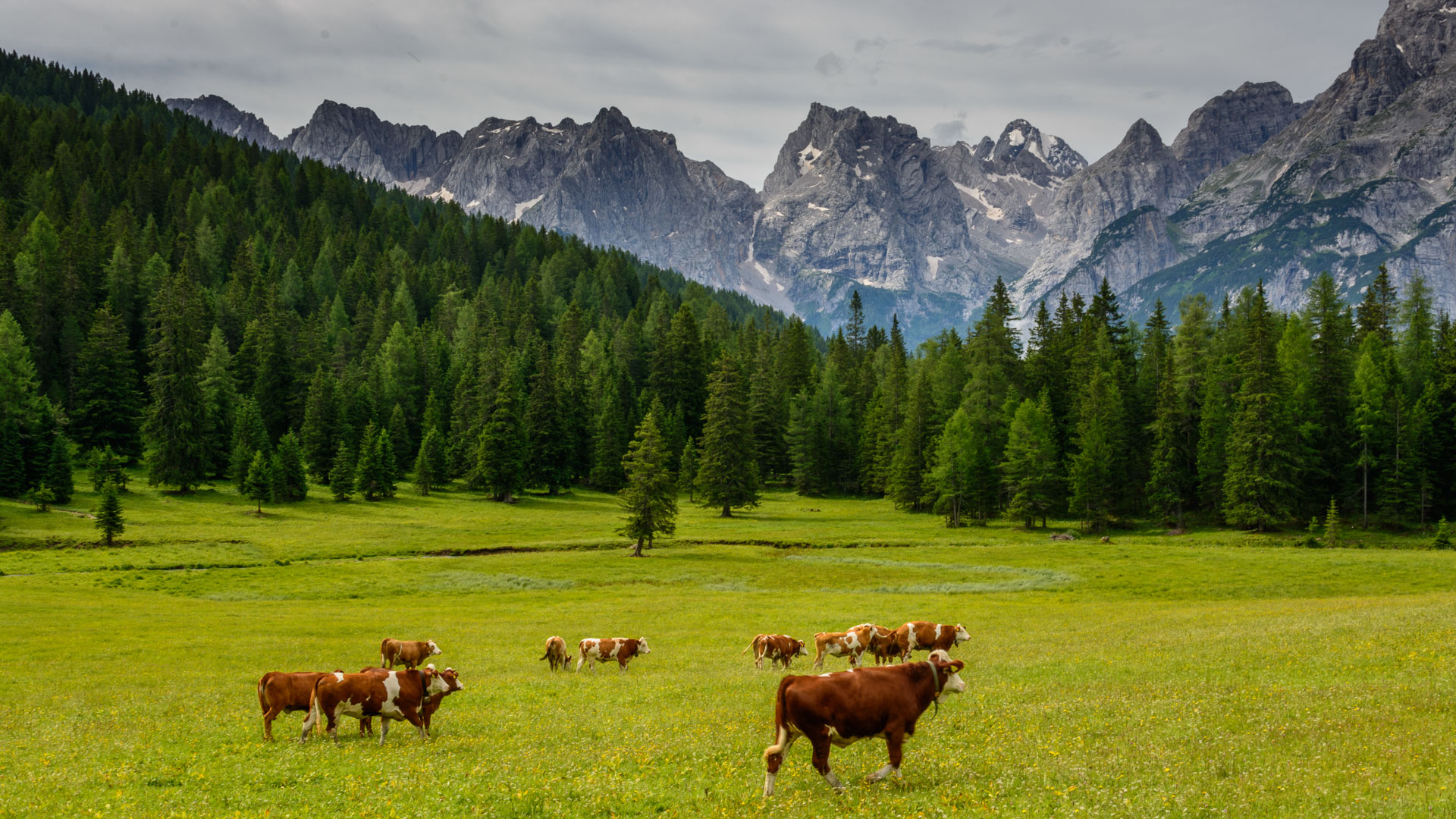
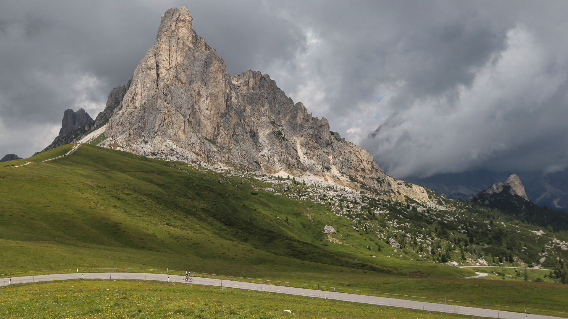
The Dolomites offer the possibility of including numerous variants to take in some legendary and breathtaking passes: this is the end of the climb to Passo di Giau (2236 m), at the foot of the elegant Ra Gusela tower. It's one of the famous climbs of the Giro d'Italia.
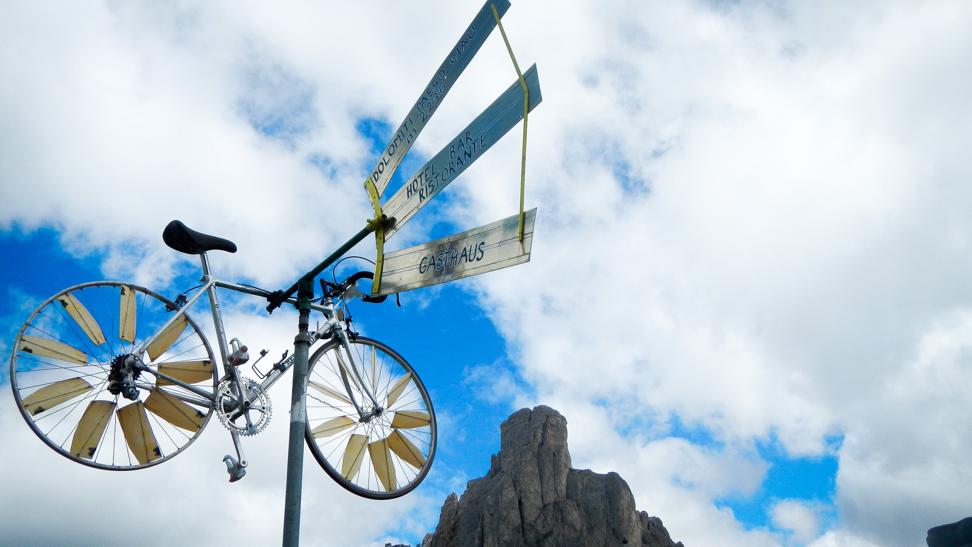
At the top of the Passo Giau, the bicycle is celebrated in all its glory...
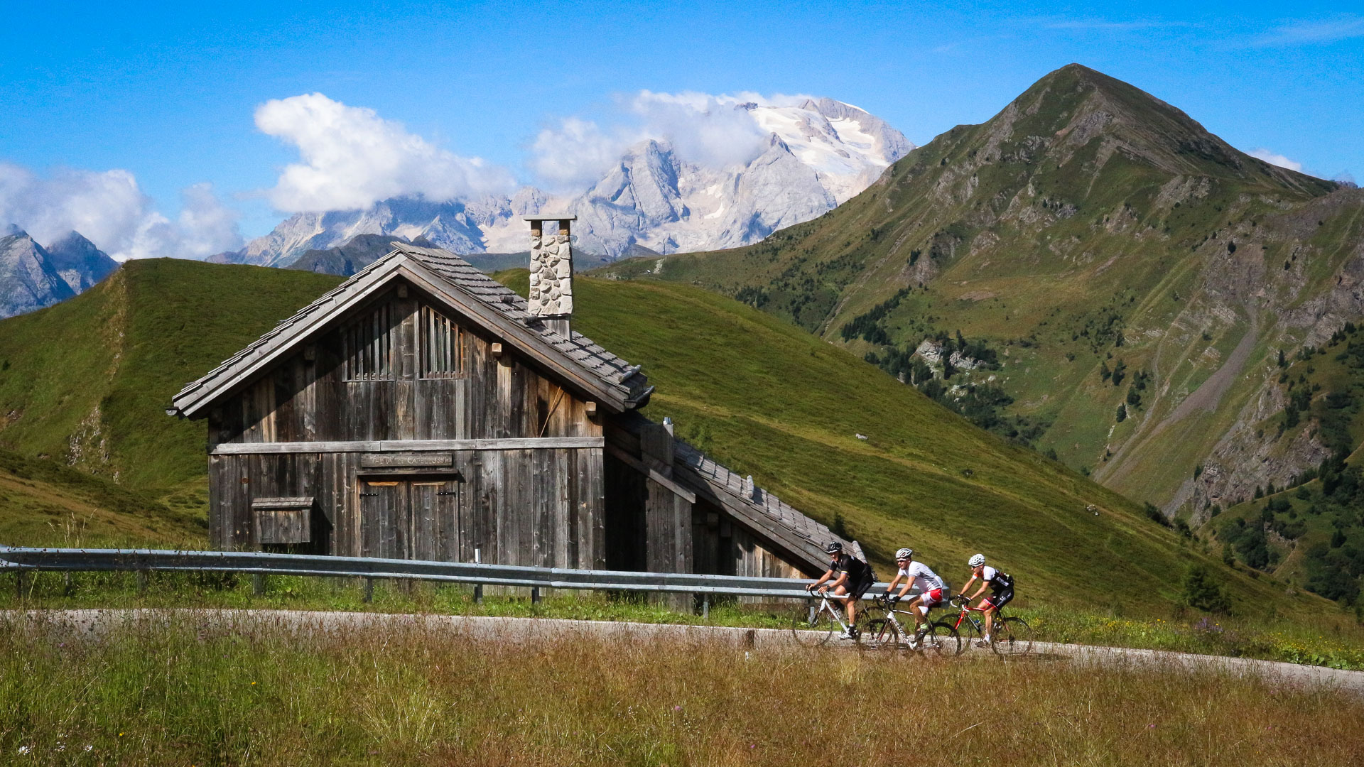
Each climb offers views as stunning as the last: here with the Marmolada Glacier as a backdrop, highest summit in the Dolomites at 3342 metres.
The descent towards the valley of Cortina d'Ampezzo.
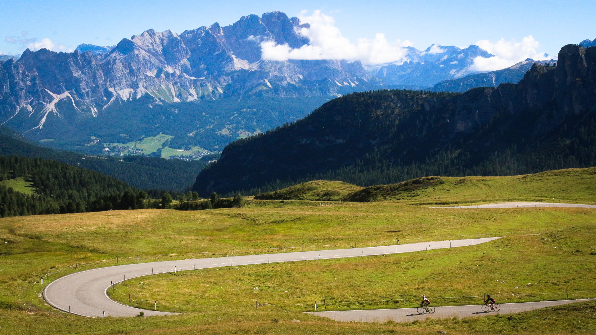
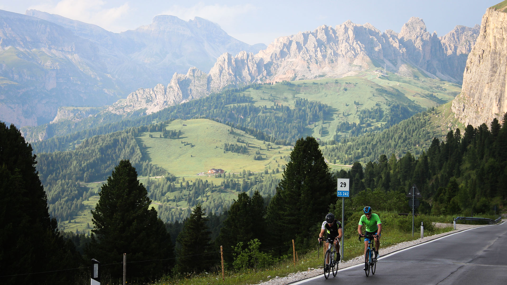
Riding at the foot of the famous Dolomite cliffs, it's hard to imagine that they're equipped with numerous Via Ferrata (literally "iron path"), built as strategic routes during the First World War.
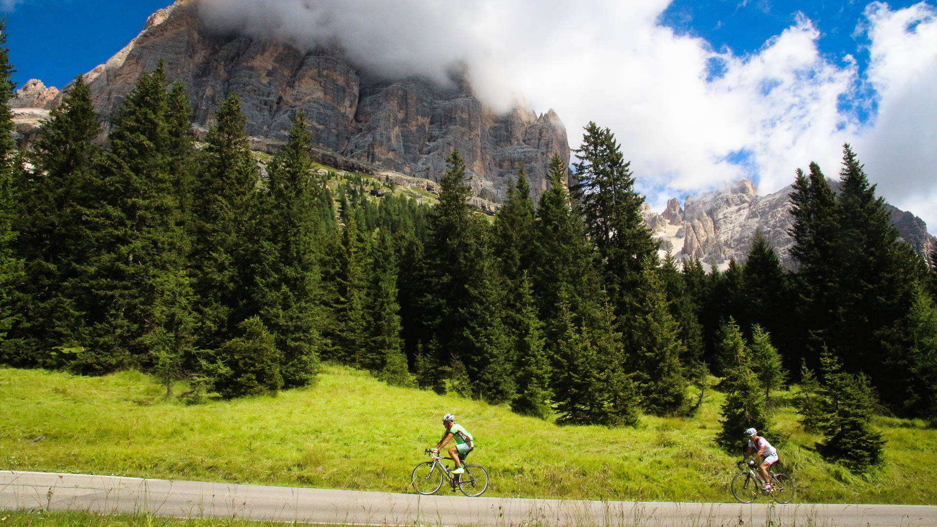
The Passo Sella, at 2218 m, is a particularly popular pass for cyclists. It can be combined with 3 other passes (Passo Gardena, Passo di Campolongo and Passo Pordoi) to form a 55km loop, known as the "Sellaronda".
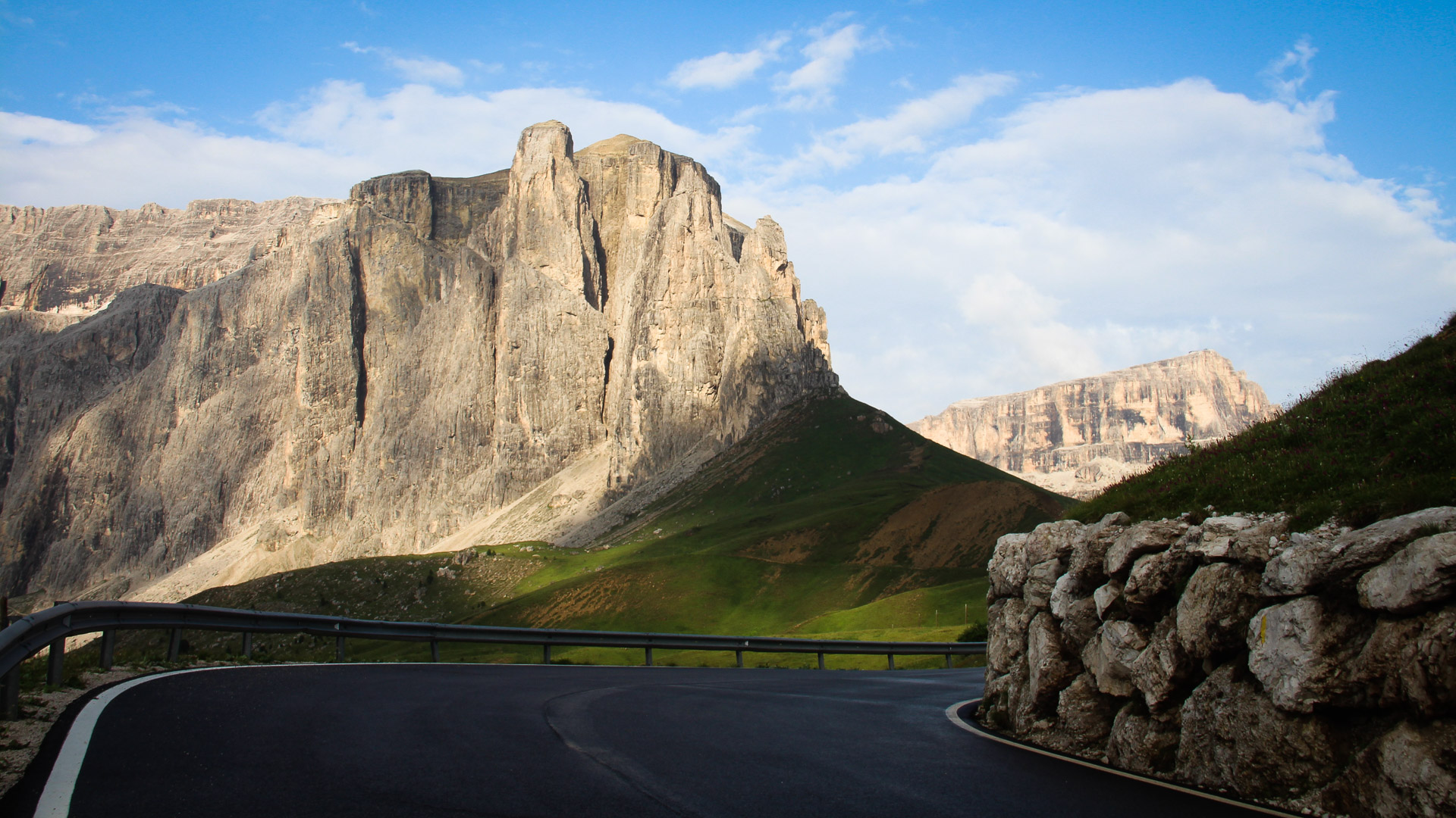
The fortress-like towering cliffs pierce the sky on the south side of the Fanes-Sennes.
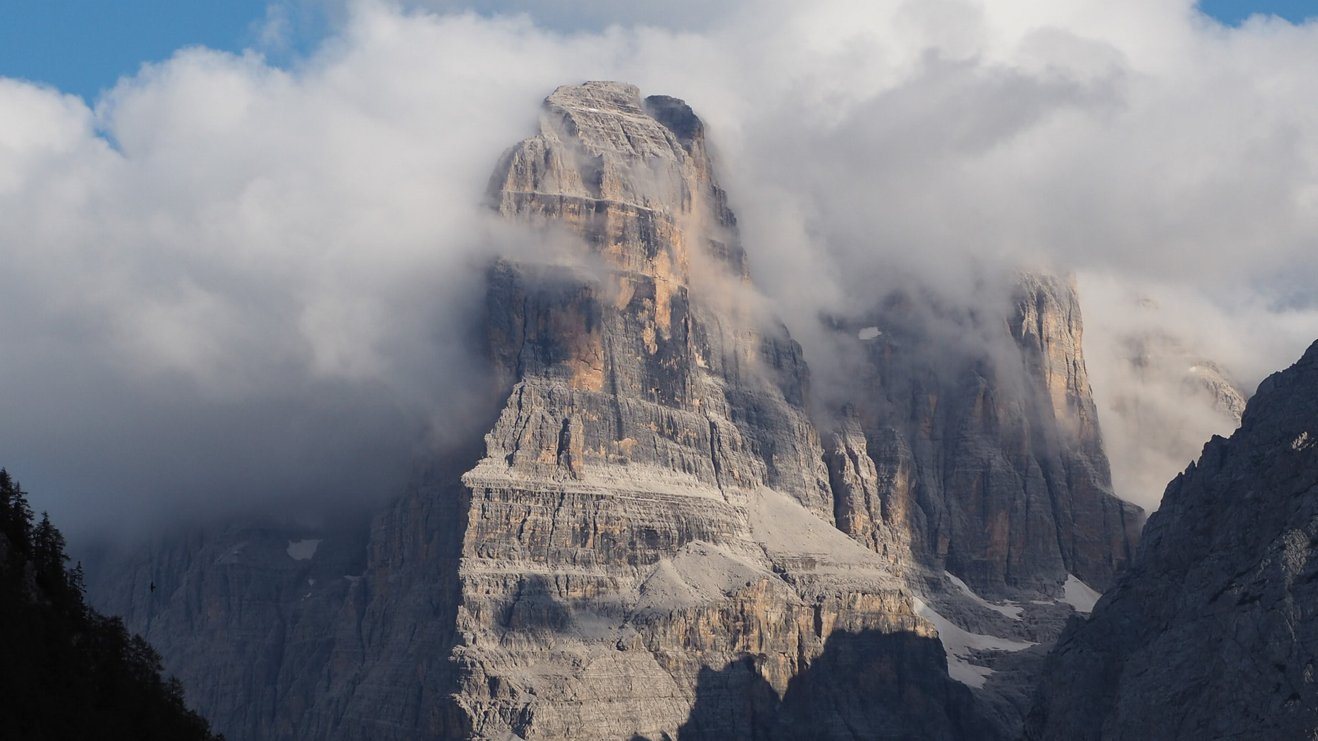
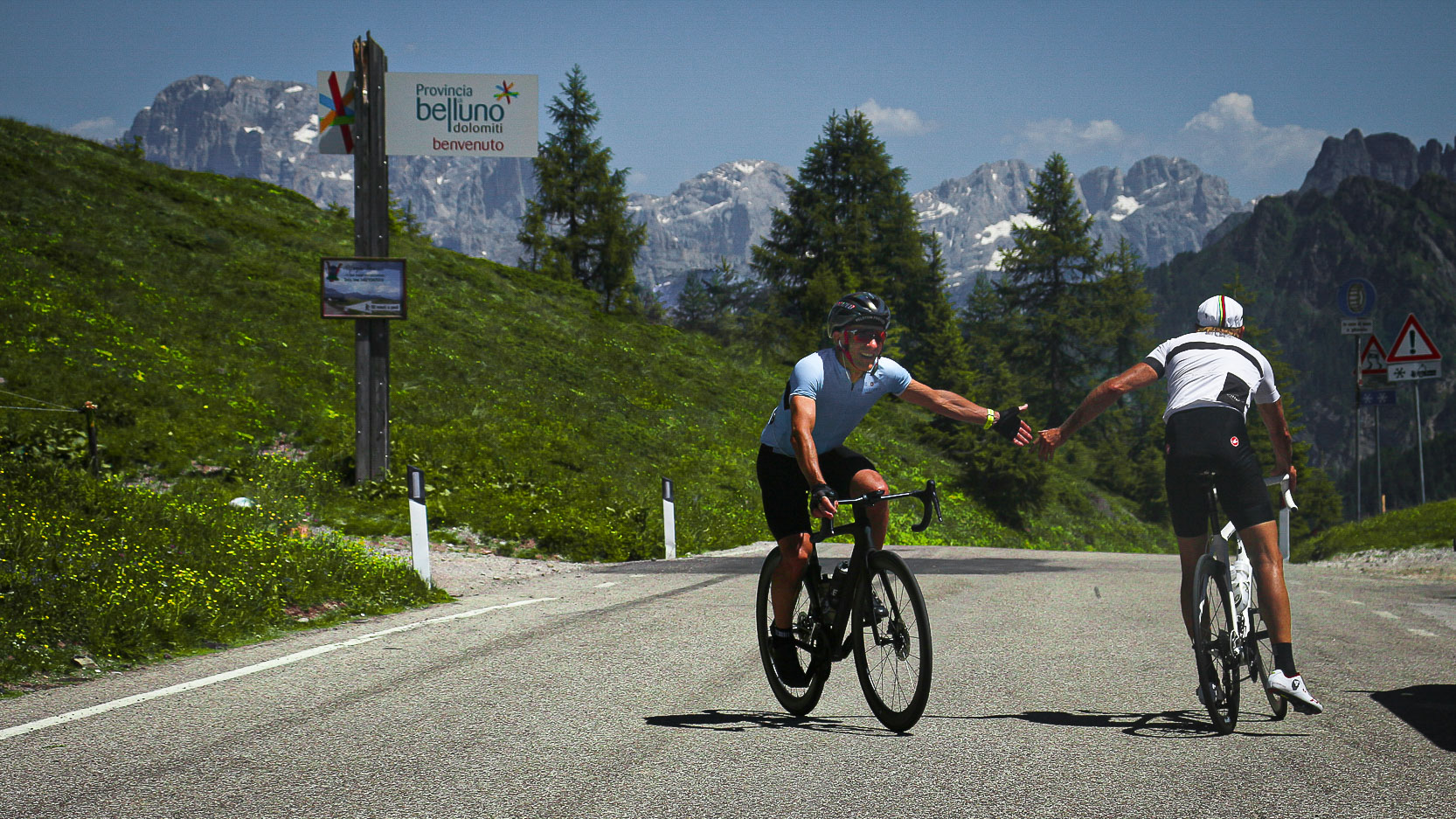
The passion and joy shared by riders here is palpable at the top of each pass...
km 725
Beginning of the climb to the famous Stelvio, highest road pass in Italy (2760 m) and 2nd highest in the Alps after the Iseran, now legendary thanks to the Giro d'Italia.
Beginning of the climb to the famous Stelvio, highest road pass in Italy (2760 m) and 2nd highest in the Alps after the Iseran, now legendary thanks to the Giro d'Italia.
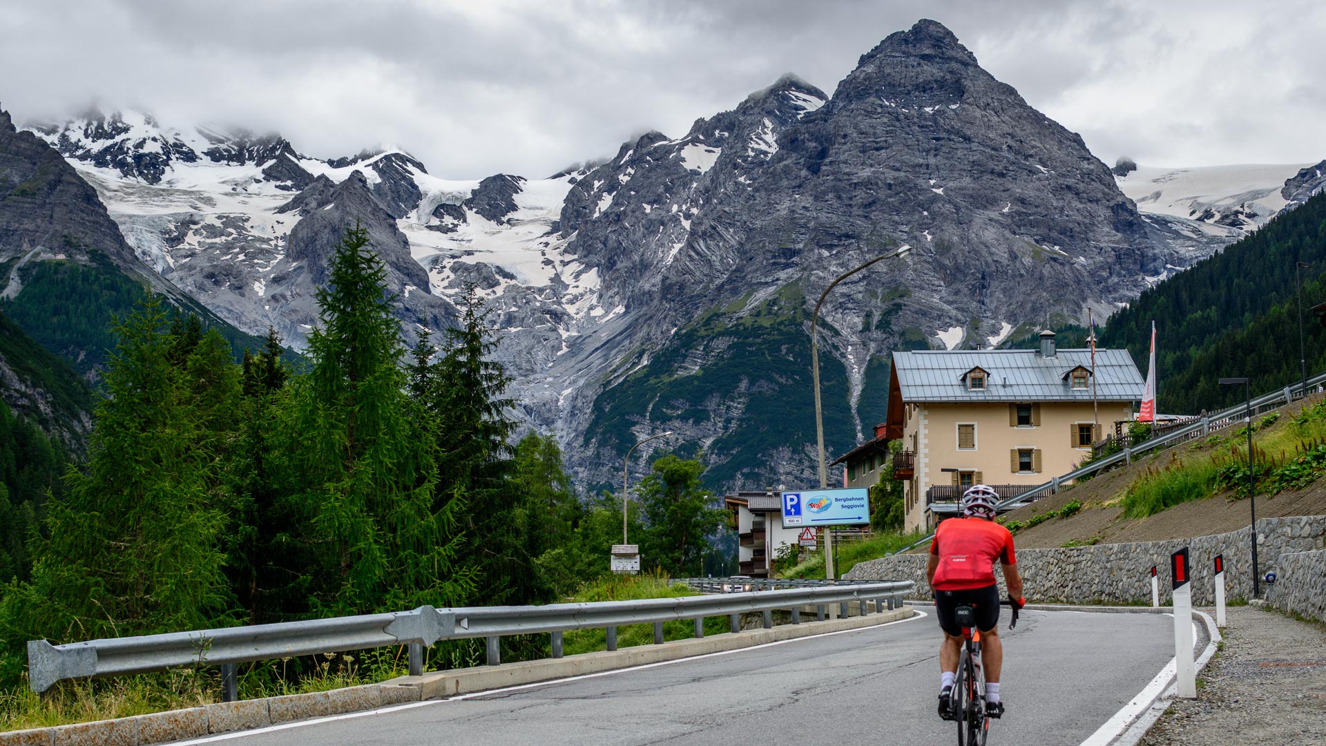
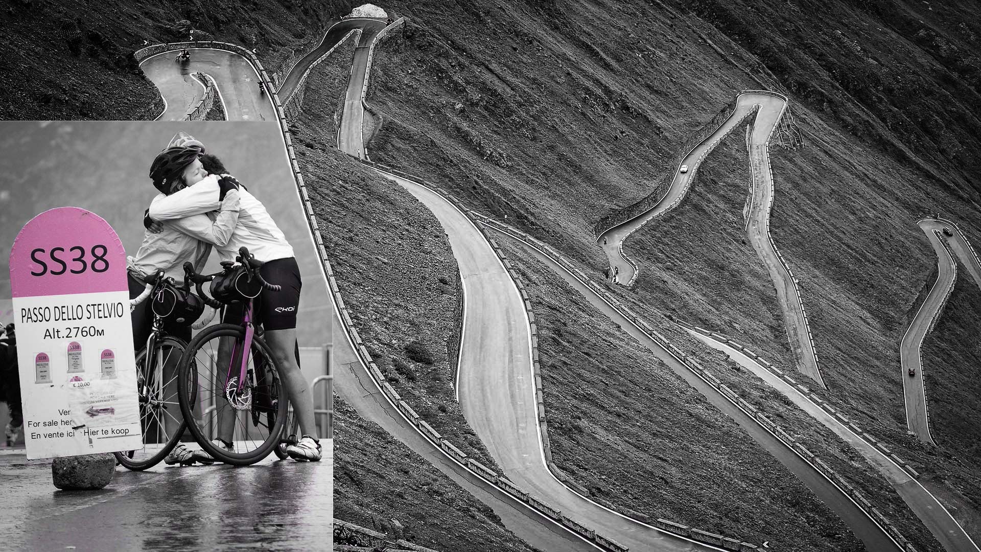
Clear blue skies above the first hairpin bends on the north side of the Stelvio! 24 km of climbing with 48 bends. The first kilometres are around 8%, whereas the last kilometre is a gruelling 12 to 14%.
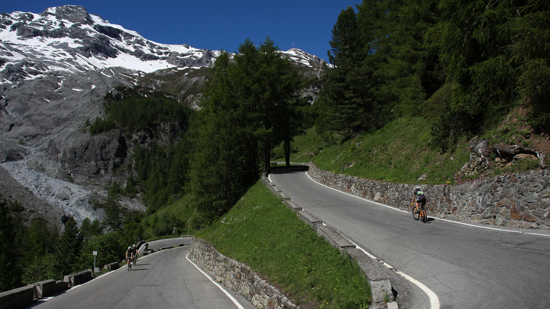
Welcome to the Swiss Alps! Rural life is ever-present here in the heart of the mountains, and the well-kept prairies are one of the most obvious signs of the Swiss attention to detail. The region around Andermatt is home to some fantastic passes, such as the Saint Gothard, Passo Dela Novella and Furka that make up a magical 105 km loop!
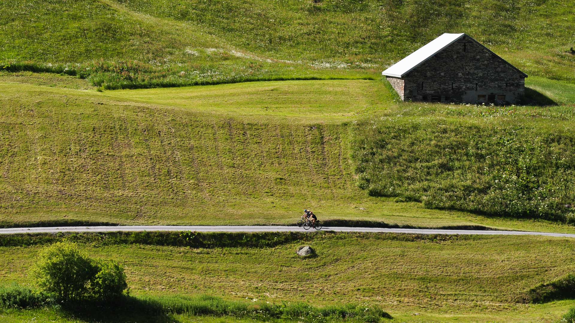
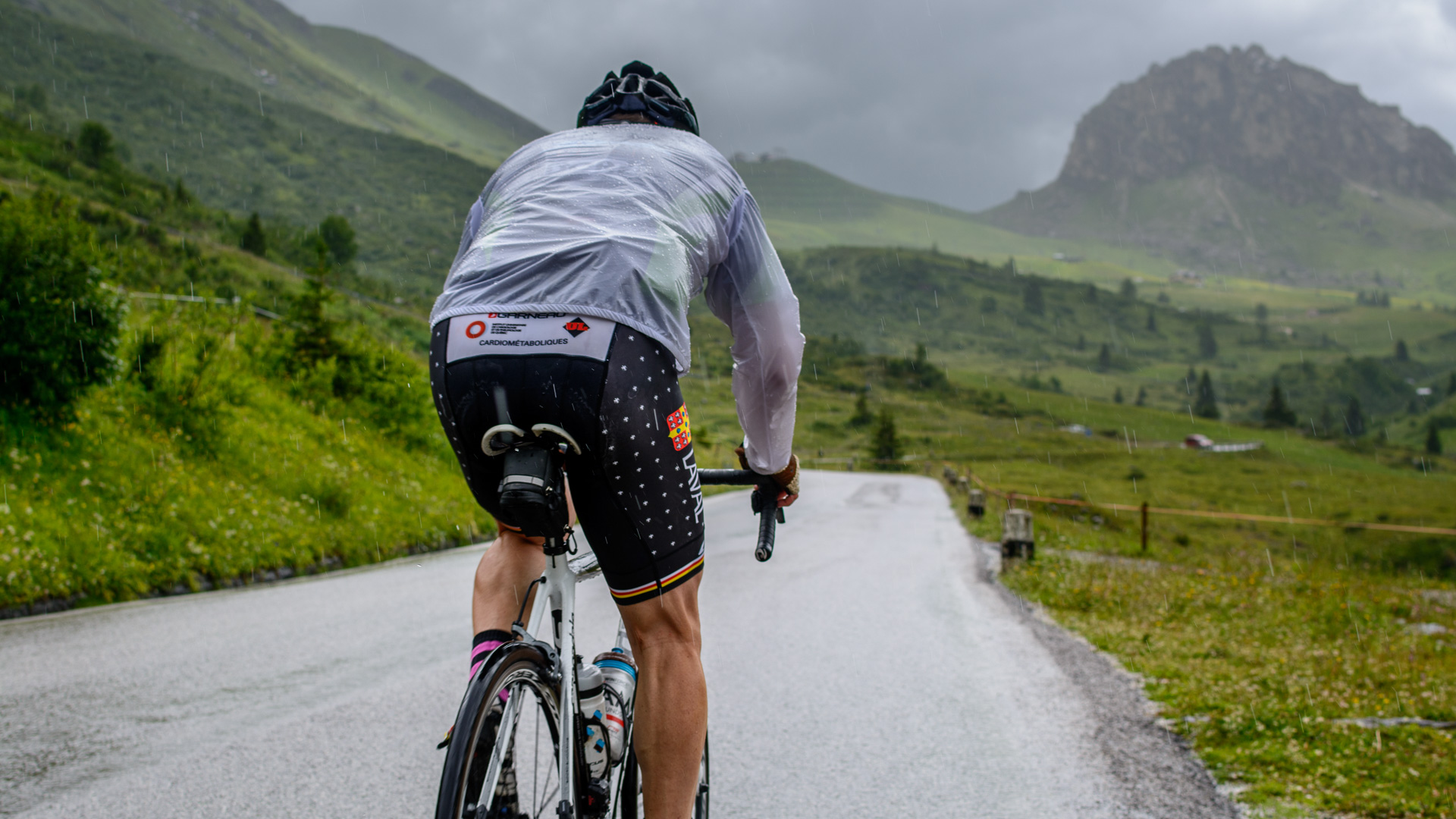
The weather changes quickly in the Alps, and the climbs can become even tougher as temperatures plummet. Amongst other annoyances, the road has to be shared with all manner of motorised vehicles, noisy and polluting...
© Vincent Vaudaux
© Vincent Vaudaux
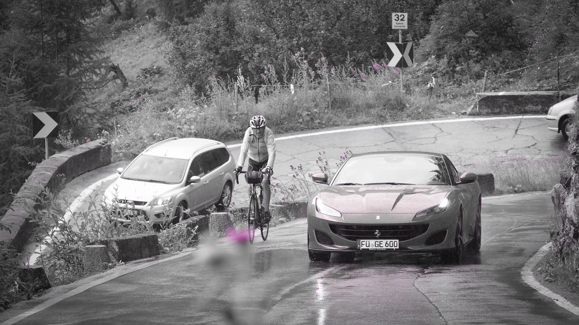
km 739
The Stelvio is a major challenge... Joy and celebration at the summit!
The Stelvio is a major challenge... Joy and celebration at the summit!
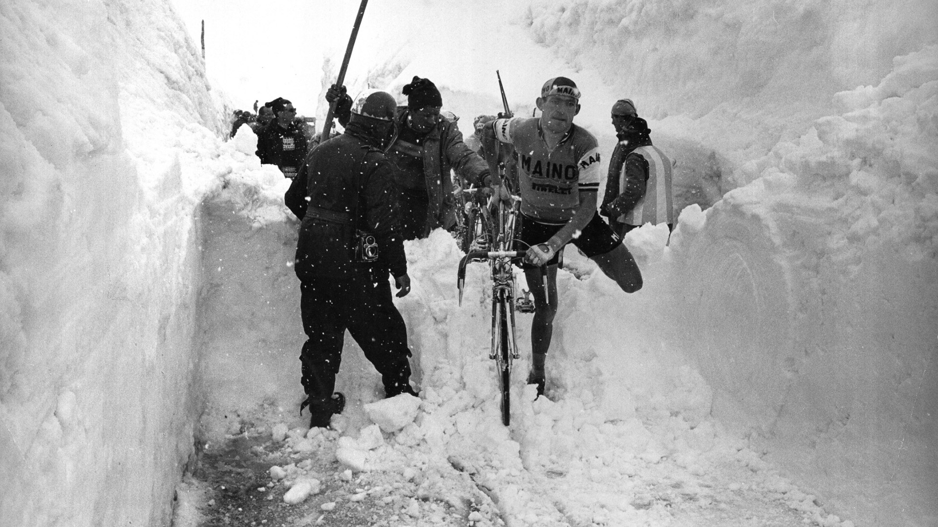
During stage 20 of the 1965 Giro, the riders passed the summit of the Stelvio in the snow, even though it was the month of June! High walls of snow lined the road.
source Wikimedia Commons
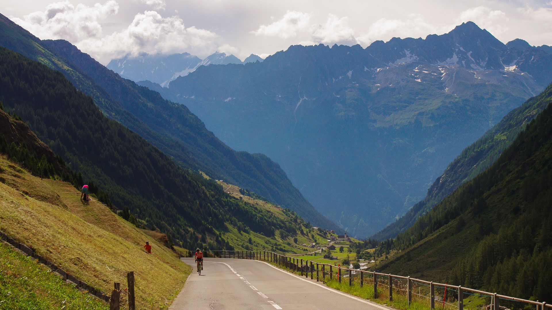
In Lombardy, just after Chiavenna. The roads are literally cut into the mountainside here. Numerous civil works, tunnels and barriers protect the roads from avalanches. For their own security, cyclists are obliged to carry lights for crossing the tunnels.
©Julien Da Costa
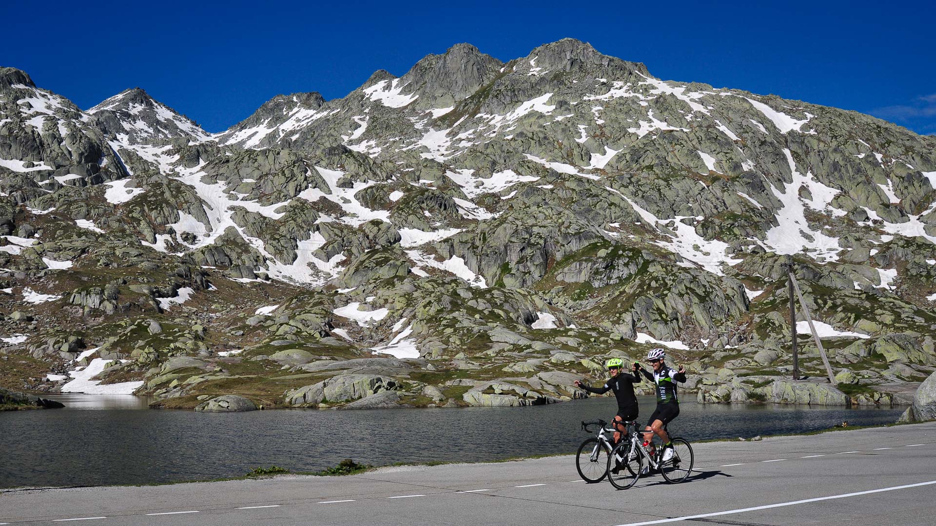
Arrival at the Saint-Gothard Pass at 2107 metres above sea level.
The old road up the Saint Gothard Pass is almost entirely cobbled, offering it an air of elegance as it weaves its way up the mountainside. However, cyclists will mostly remember its nickname of tremola vecchia, meaning "old shaker".
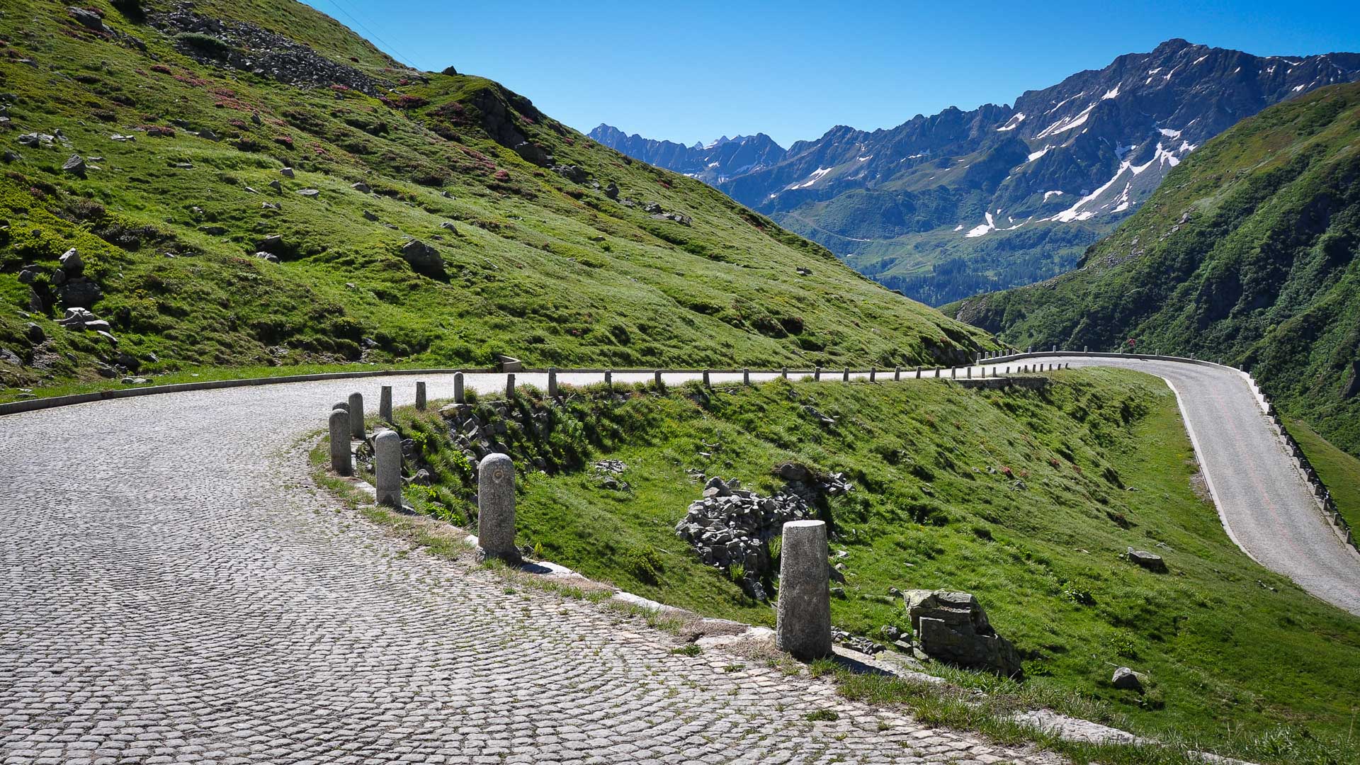
At 2478 m, the Passo Della Novena (or Nufenen Pass), offers superb panoramic views of the Lepontine Alps and their glacial peaks. The pass is the second highest road pass in Switzerland.
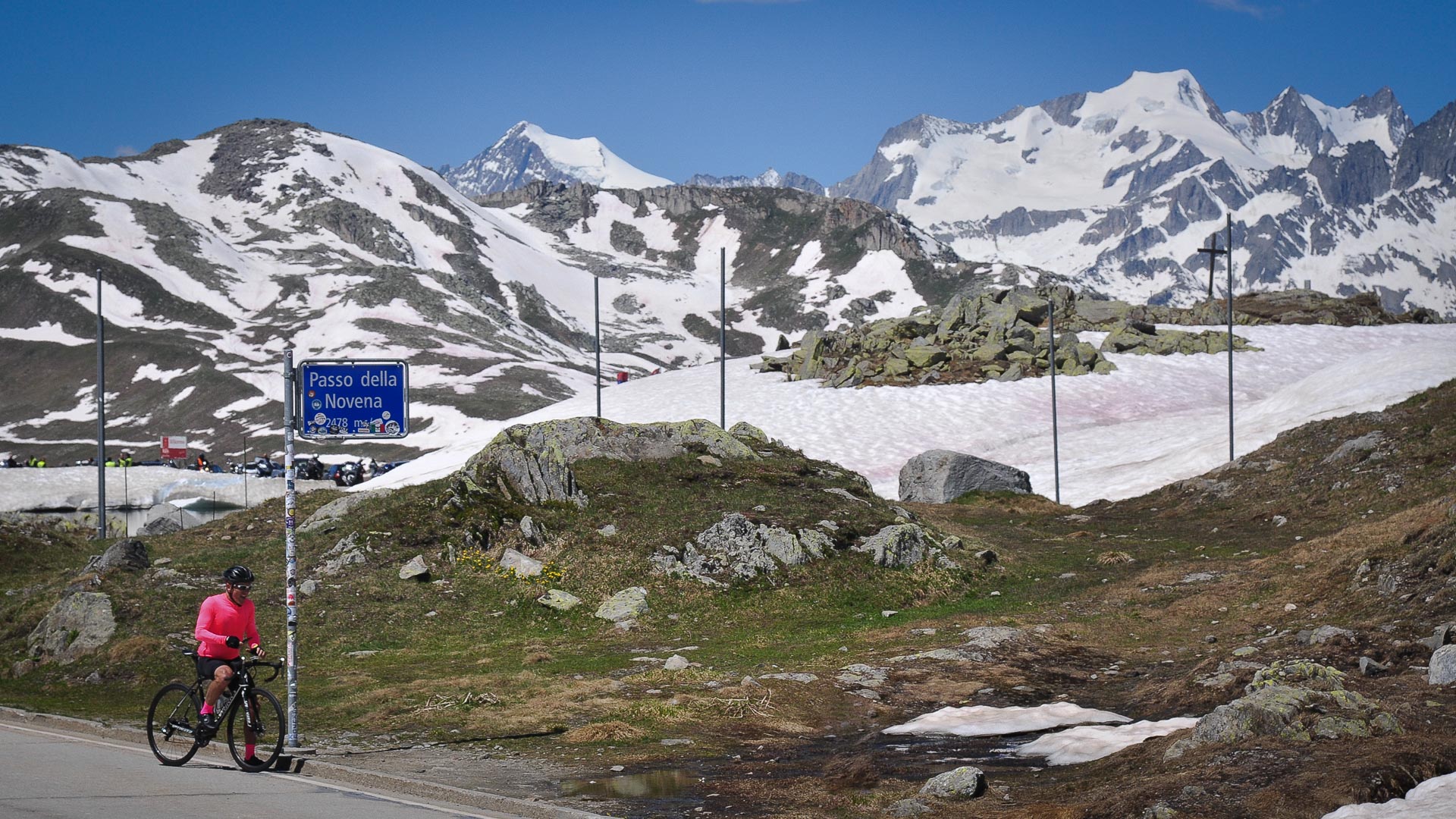
Important historical route between the Rhône and Tessin valleys, the Nufenen Pass was traditionally used for salt and animal trading. Like all the major alpine passes, it remains closed from October to June, covered in several metres of snow.
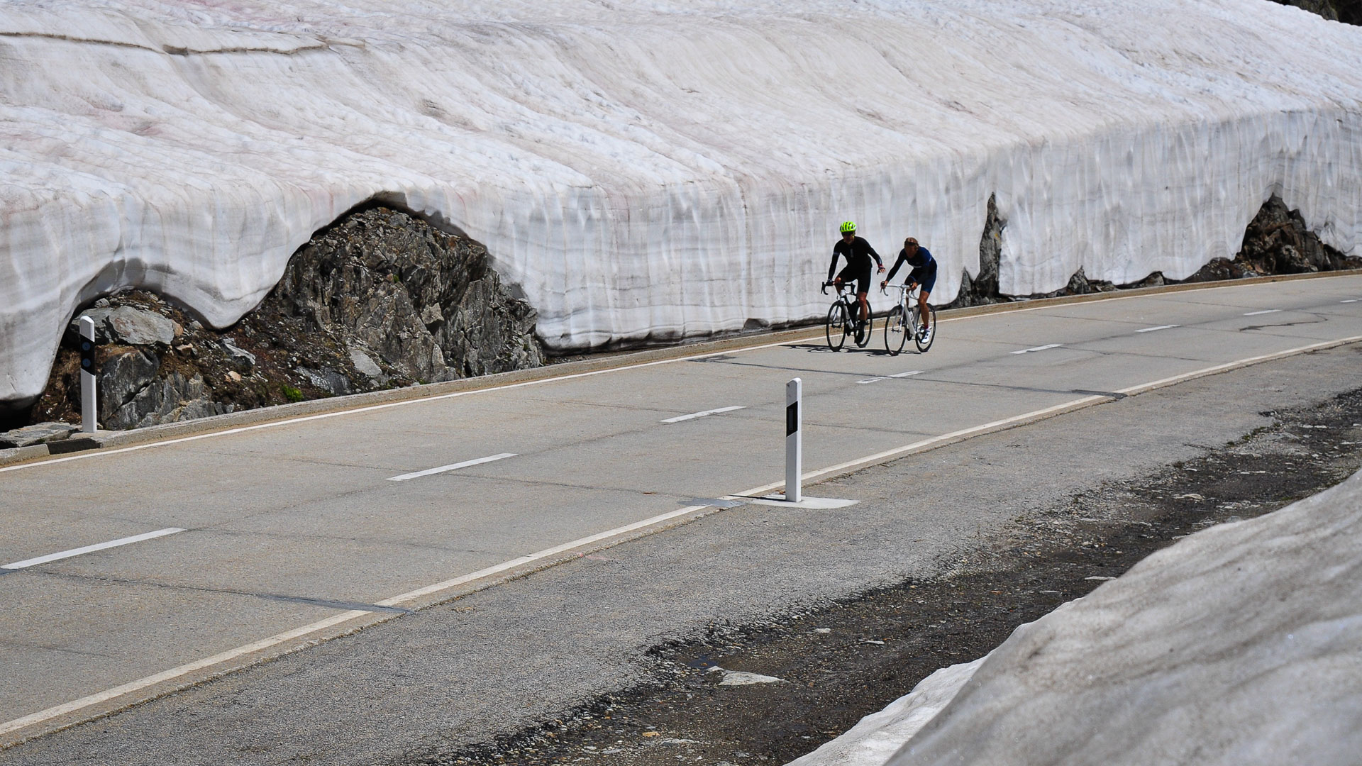
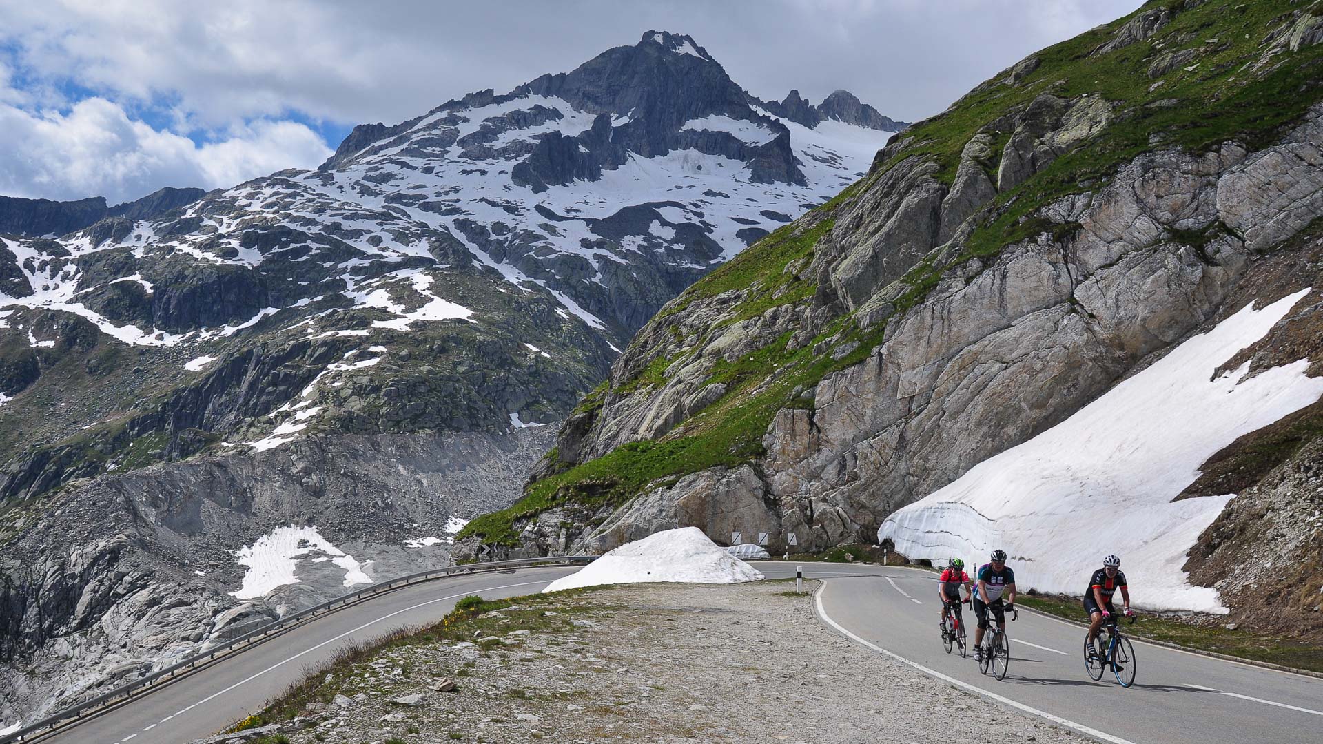
On the Furka Pass (2429 m), the proximity to several glaciers keeps the temperatures cool, even in summer!
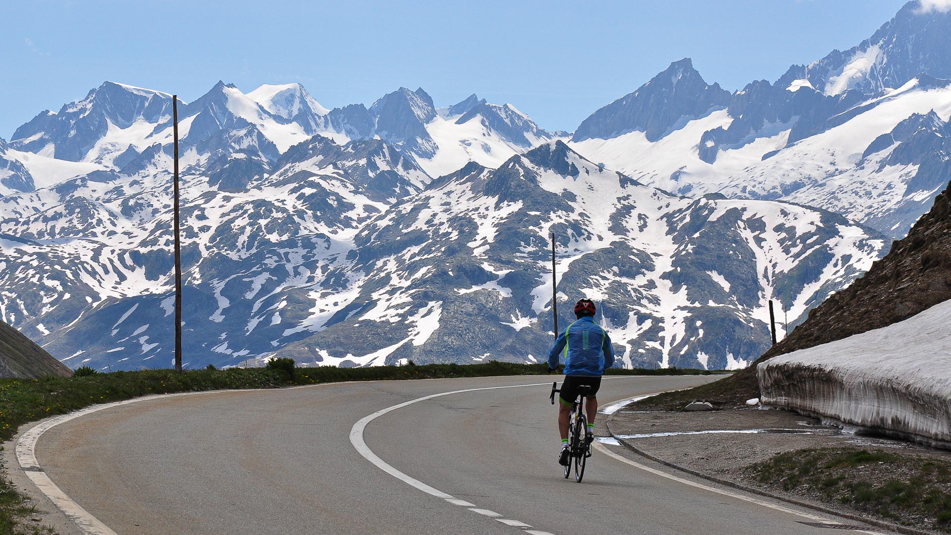
The climb up the Furka Pass became famous in 1964 when it was used for the James Bond film Goldfinger, starring Sean Connery. At the time the road wasn't yet tarmacked!
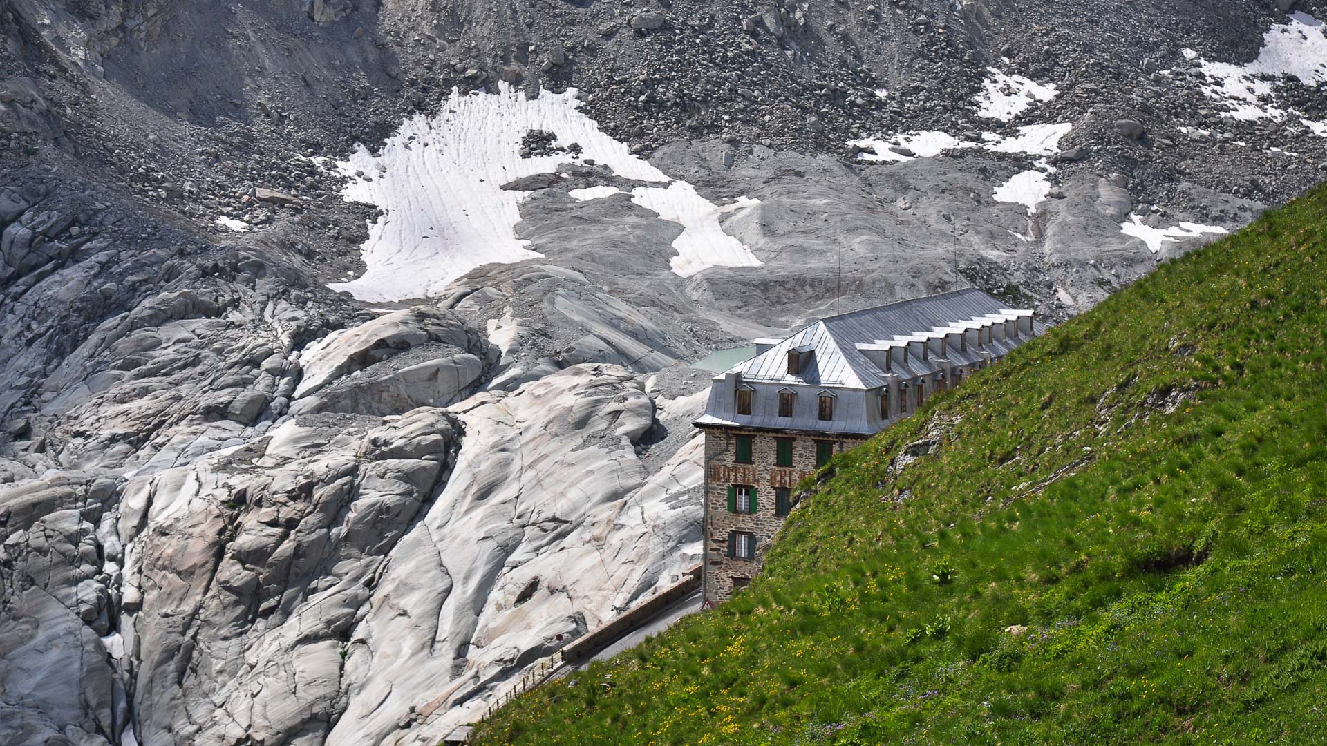
The Belvédère Hotel, built on one of the Furka Pass hairpin bends, opened in 1882. It offered a superb view of the Rhône Glacier, which descended down into the valley. The glacier has since receded 1km, and can barely be seen from the hotel. Having welcomed a range of famous guests for over 100 years, the hotel finally closed its doors in 2005.
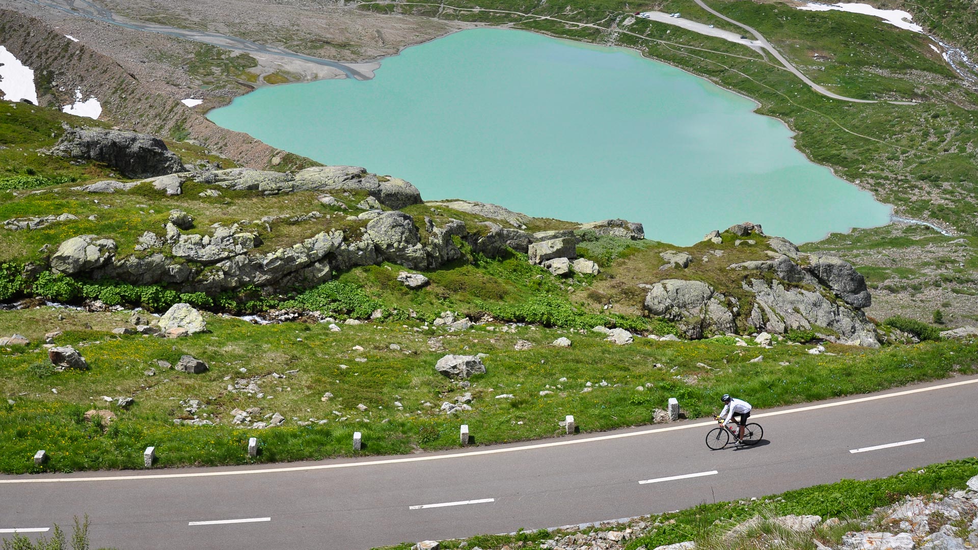
The Steinsee glacial lake in the descent from the Susten Pass.
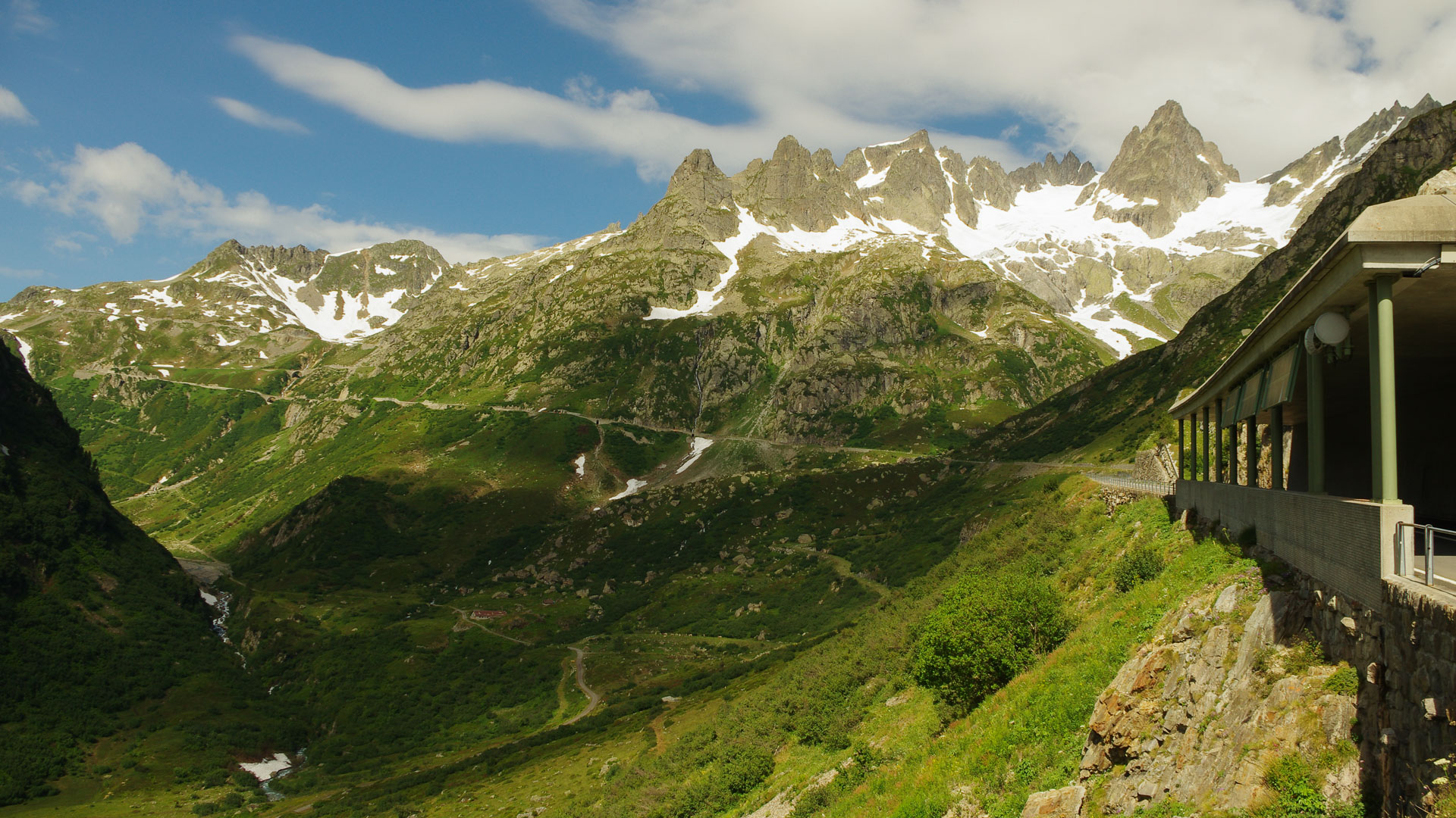
Breathtaking scenery surrounds the Susten Pass (2224m), with 3500 m peaks overlooking the road up to the pass.
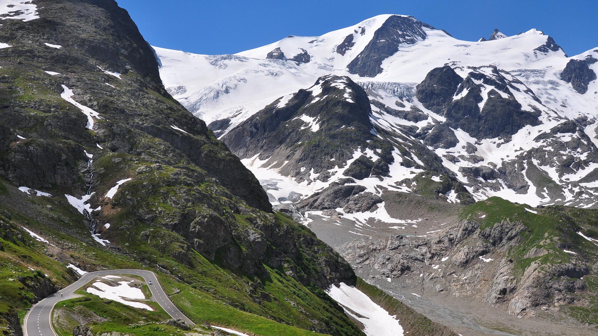
km 1123
The climb up the Grosse Scheidegg on a quiet and wild mountain road. Motor vehicles are only allowed up the first 6km. The rest of the route is only open to walkers, cyclists and postal vehicles, offering a rare traffic-free cycling experience.
The climb up the Grosse Scheidegg on a quiet and wild mountain road. Motor vehicles are only allowed up the first 6km. The rest of the route is only open to walkers, cyclists and postal vehicles, offering a rare traffic-free cycling experience.
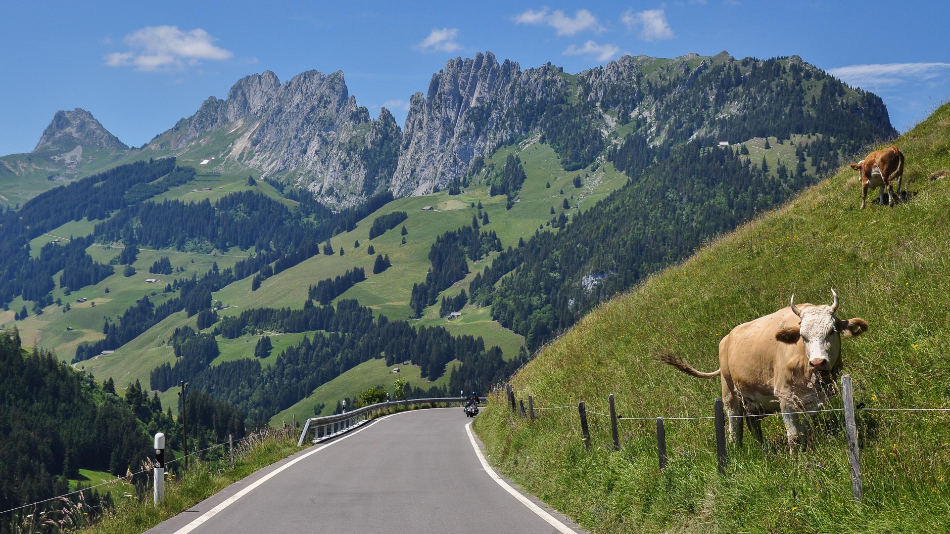
In the Swiss Prealps, close to the Jaun Pass (1508 m), we leave the glaciers behind us in favour of a landscape of mountain pastures and jagged peaks.
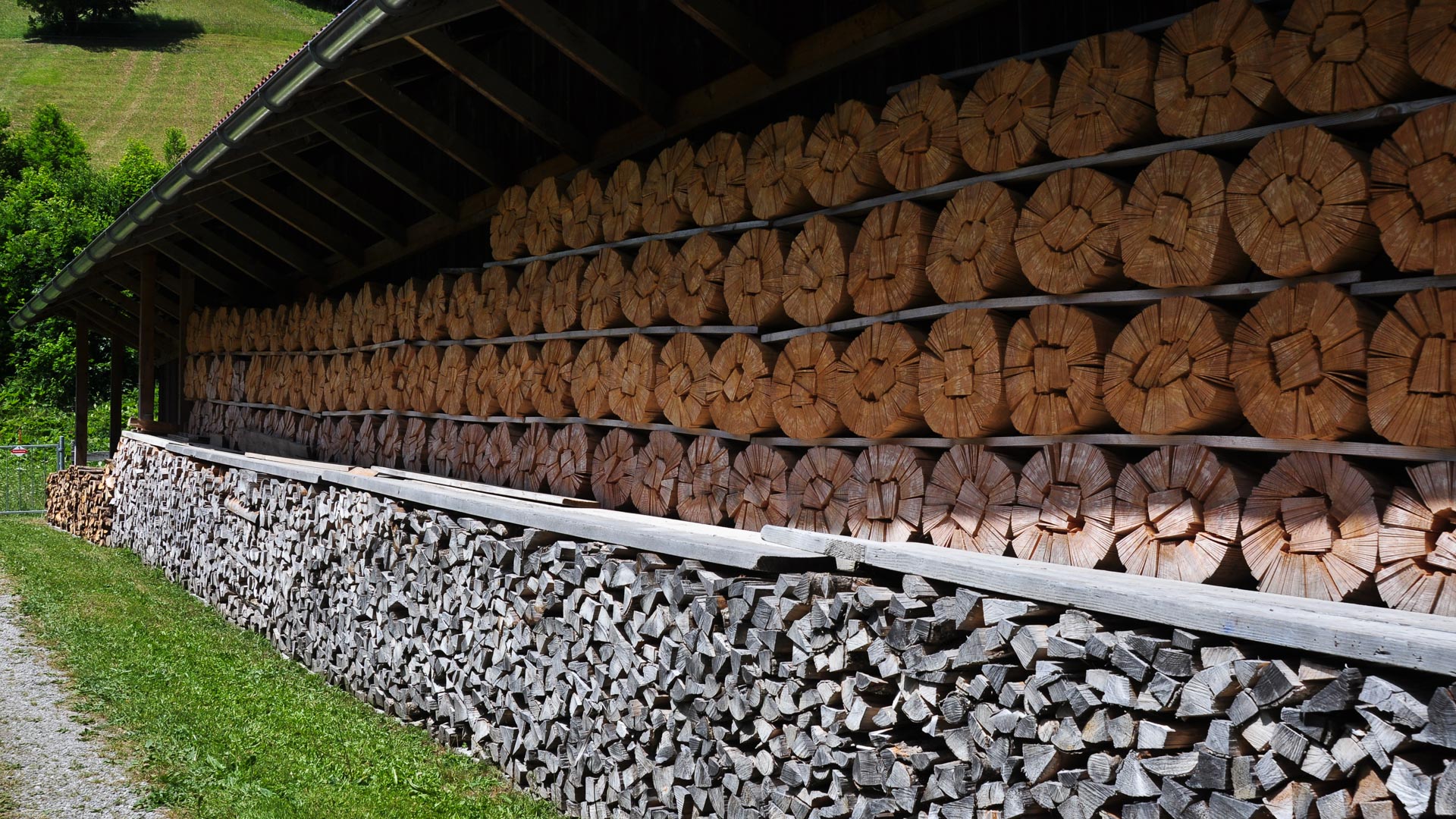
These strips of wood, known locally as "tavillons", are being dried before being used for shingle roofing on Swiss chalets.
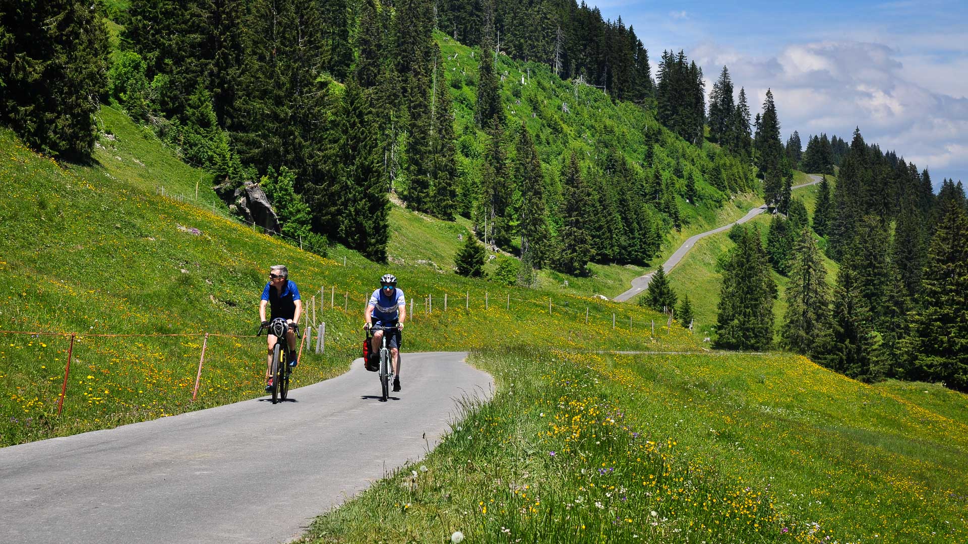
Between the Jaun Pass and Saanen, the stage crosses some idyllic scenery. The quiet, narrow roads wind their way through a picture postcard backdrop of lush prairies and dense forests.
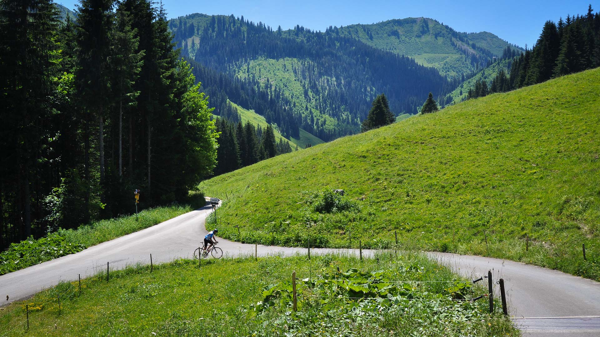
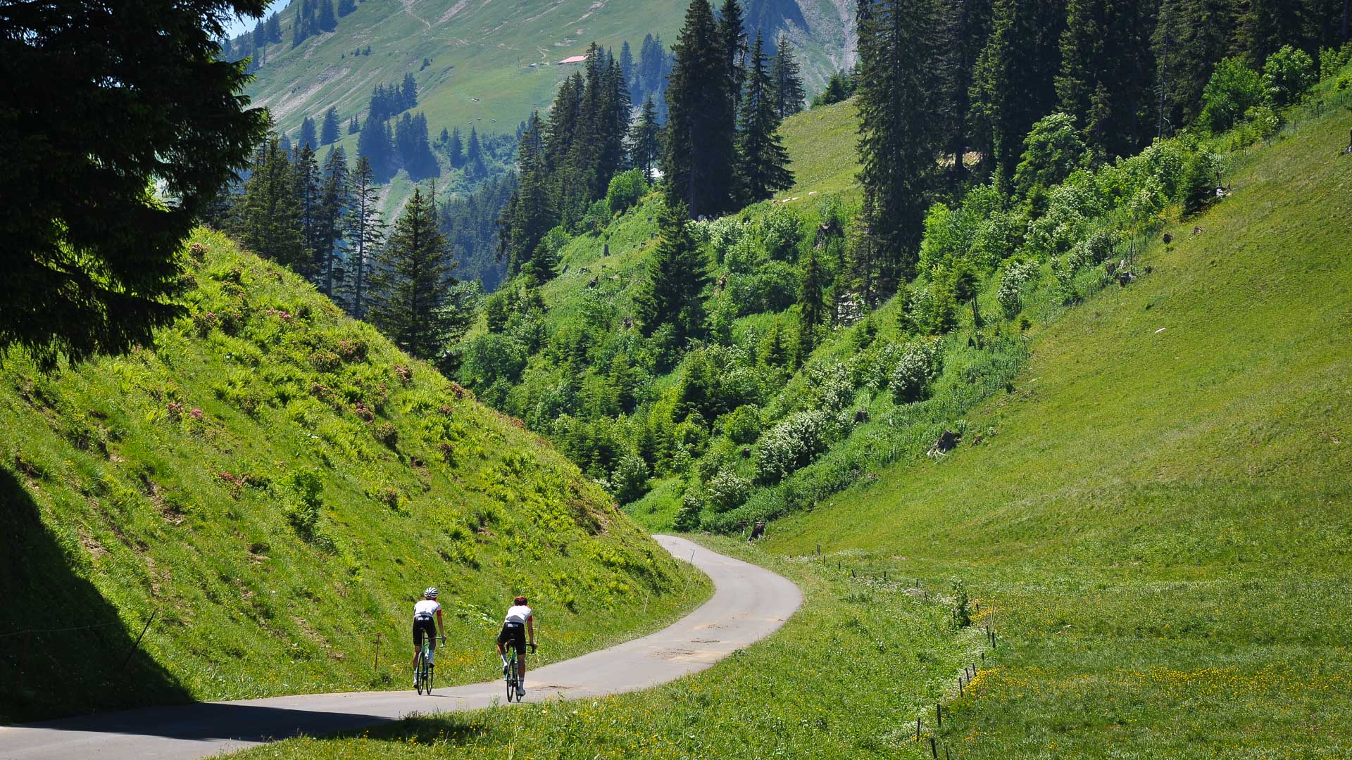
The tranquil back roads of the Swiss Prealps also draw numerous cycle tourists.
km 1282
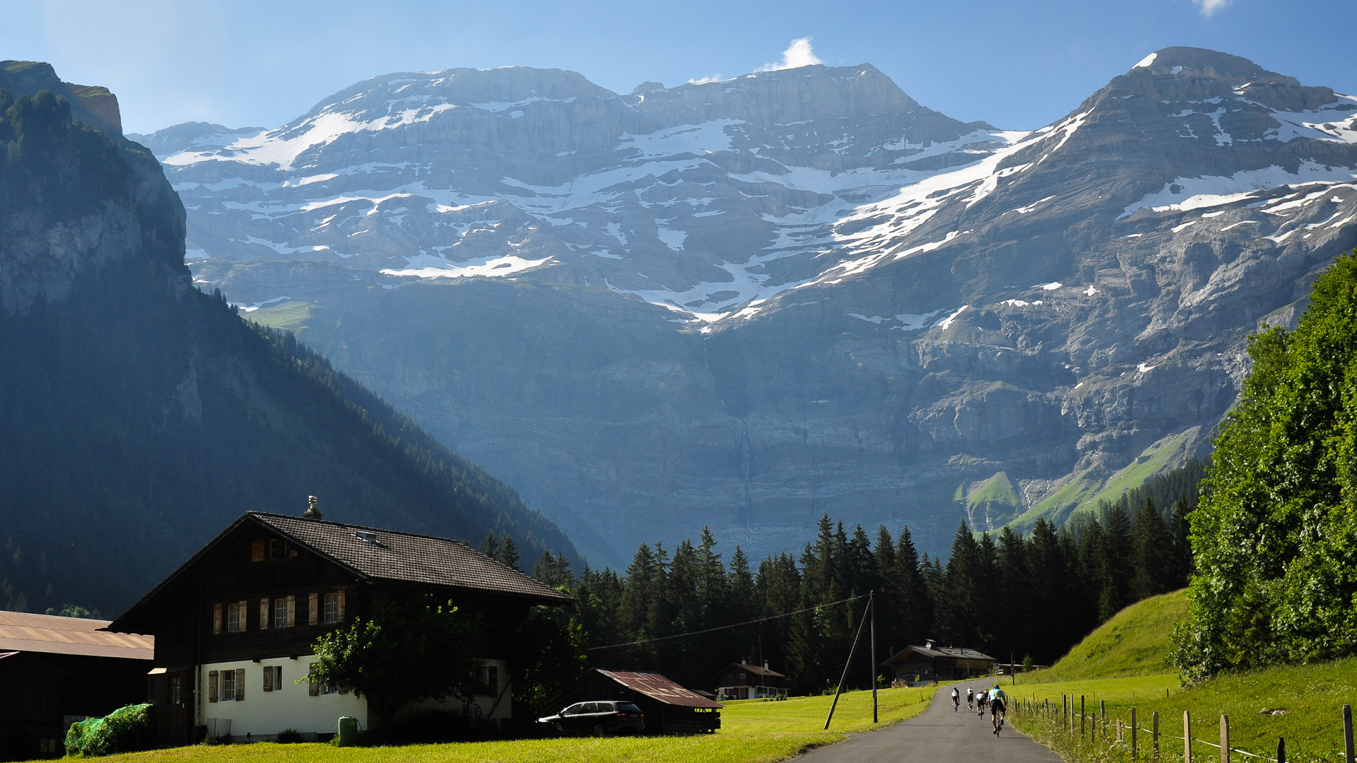
Once passed the village of Les Diablerets, the road appears to head straight to the foot of the cliffs!
Once passed the village of Les Diablerets, the road appears to head straight to the foot of the cliffs!
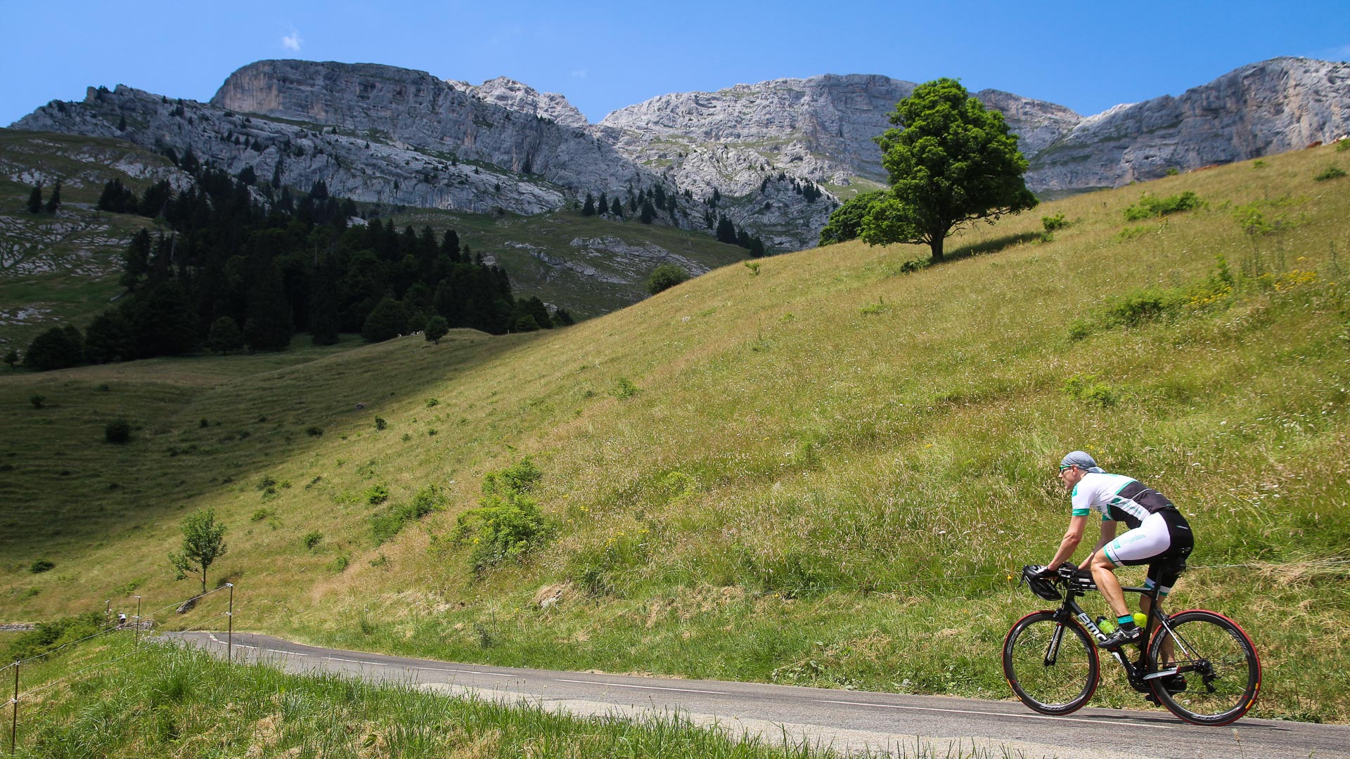
Welcome to France! The French Alps traverse begins in Thonon-Les-Bains (Haute-Savoie). Here, at the foot of the Massif du Bargy, on the climb up the famous Col de la Colombière (1613 m) just before the final section. The last 3km are tough going with a 9,5% gradient which ramps up to 10,5% for the last 800 metres...
The jagged peaks of the Aravis Range. The first Bearded Vultures to be reintroduced in France, back in 1987, were settled in the Aravis limestone cliffs.
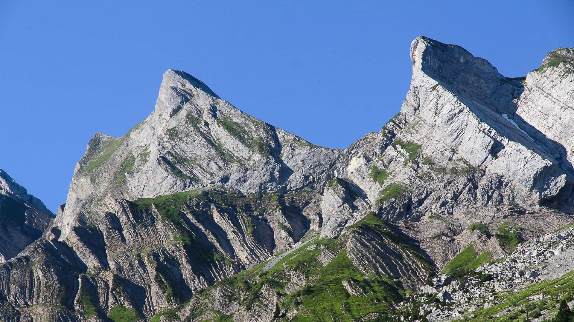
km 1517
The 4th pass of the French Alps: the Col des Aravis at 1486 m
The 4th pass of the French Alps: the Col des Aravis at 1486 m
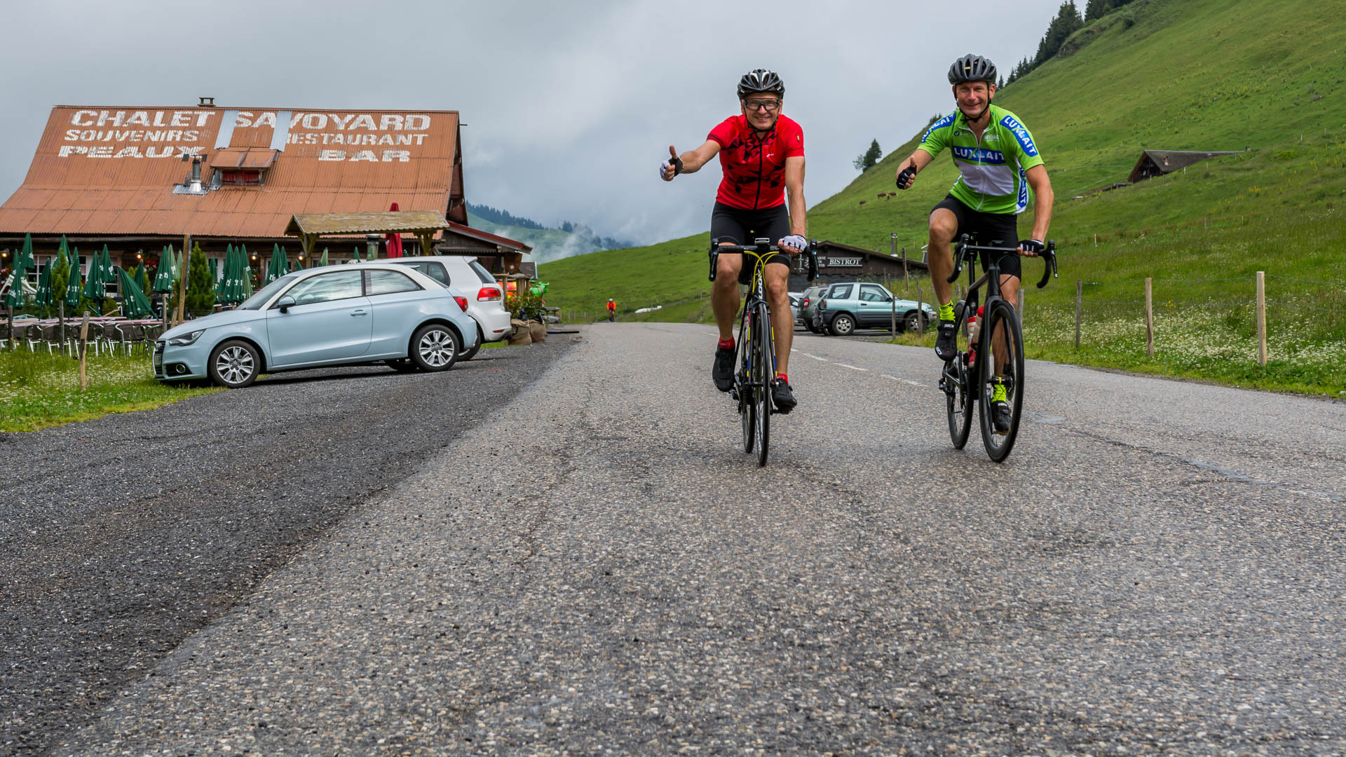
km : 1547
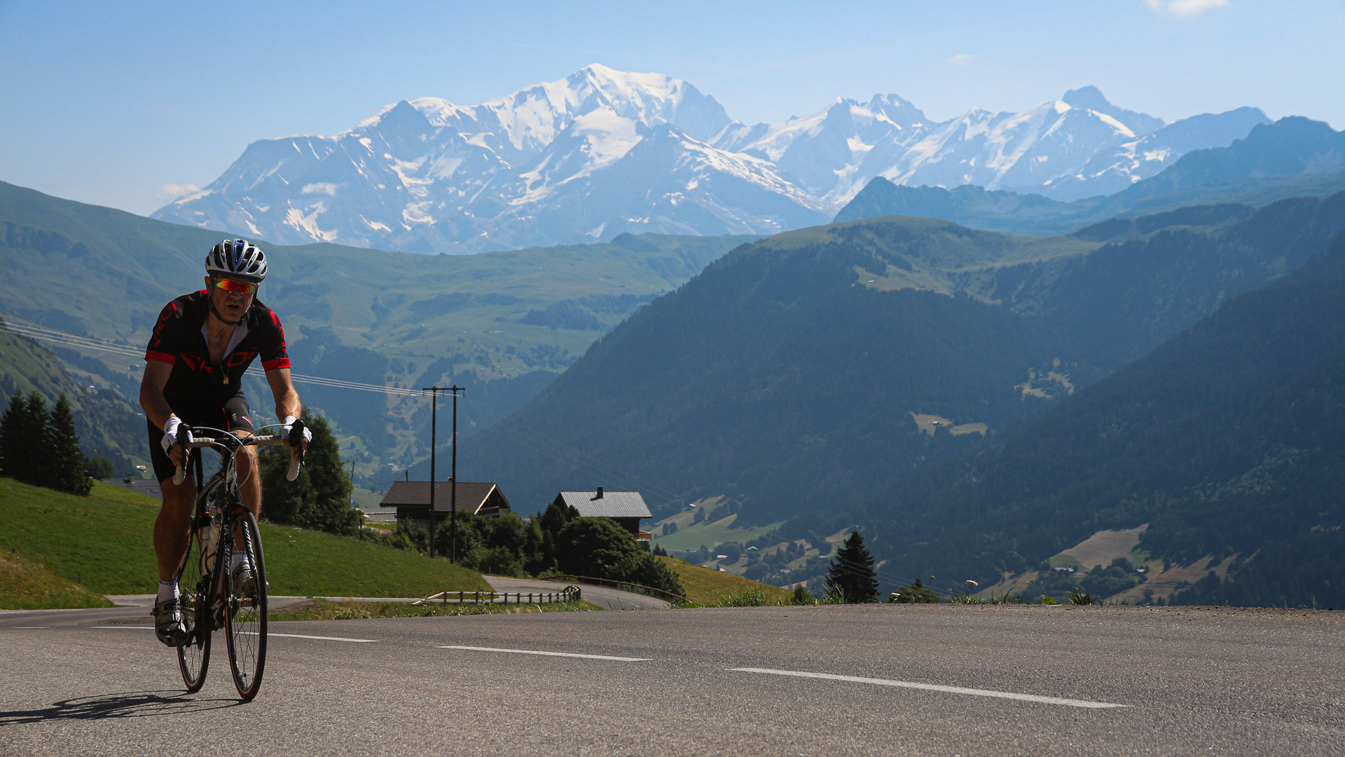
In the Beaufortain Range, between the Col des Saisies and the village of Hauteluce. Superb views of the mighty Mont Blanc and the Dômes de Miage.
In the Beaufortain Range, between the Col des Saisies and the village of Hauteluce. Superb views of the mighty Mont Blanc and the Dômes de Miage.
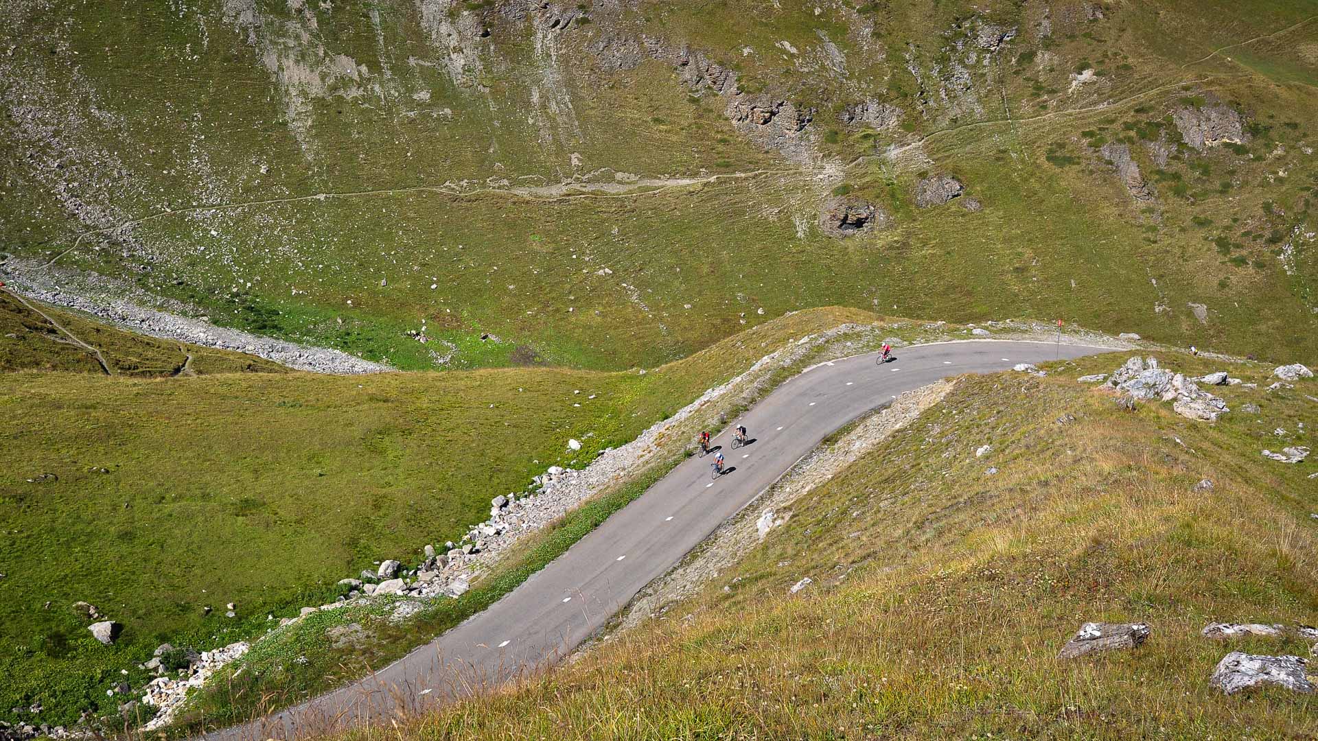
On the climb up the Col de l'Iseran, after Val d'Isère. At 2770 m the Iseran is the highest pass on the Alps Traverse, and also boasts the longest climb (48 km) from Bourg Saint Maurice.
An impressive high mountain atmosphere! Here, at the foot of the mighty Tsanteleina (3602 m), on the border with Italy.
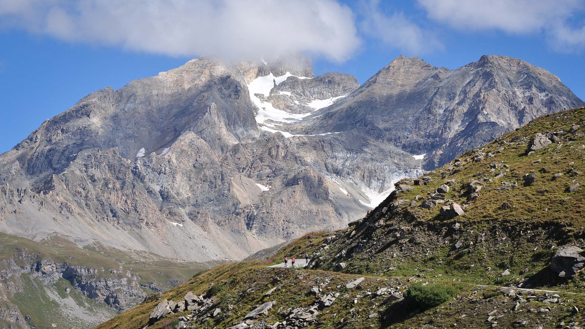
km 1632
The final few metres on the climb up the Iseran. At over 2700 m, the thin air makes the climbing even tougher!
The final few metres on the climb up the Iseran. At over 2700 m, the thin air makes the climbing even tougher!
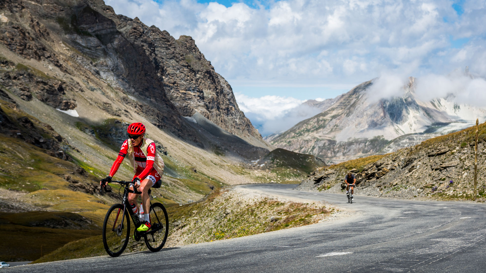
Climbing the Col du Télégraphe (1566 m) and the Col du Galibier (2645 m) in succession makes for a big day of riding! Last few pedal strokes in the Northern Alps, before crossing the geographical and geological border with the Southern Alps.
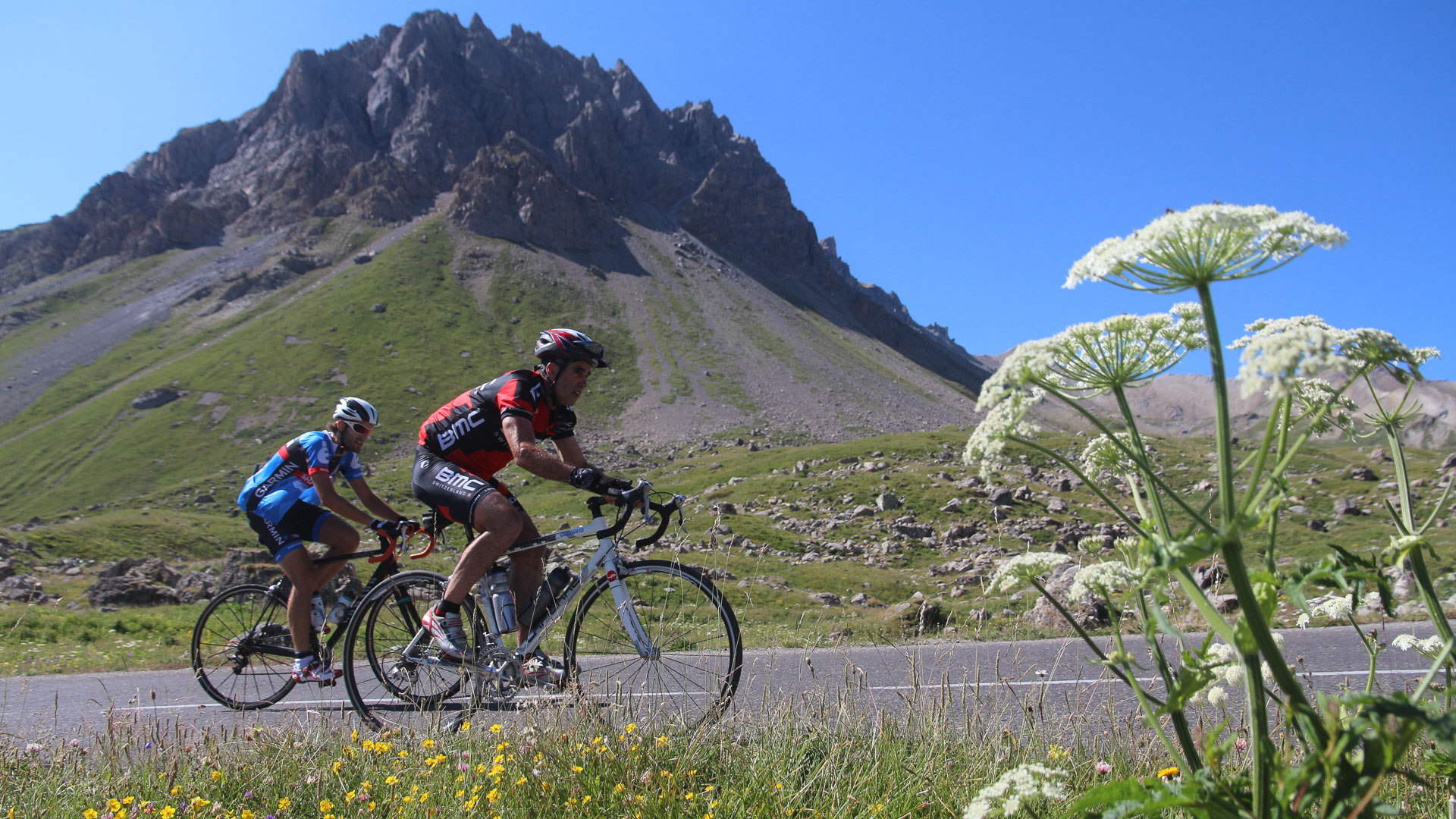
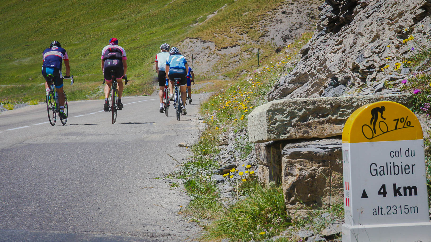
Final section before the Col du Galibier. From the Maurienne Valley, the climb to the Galibier is over 30 km long with 2100 m of climbing at an average of 7%...
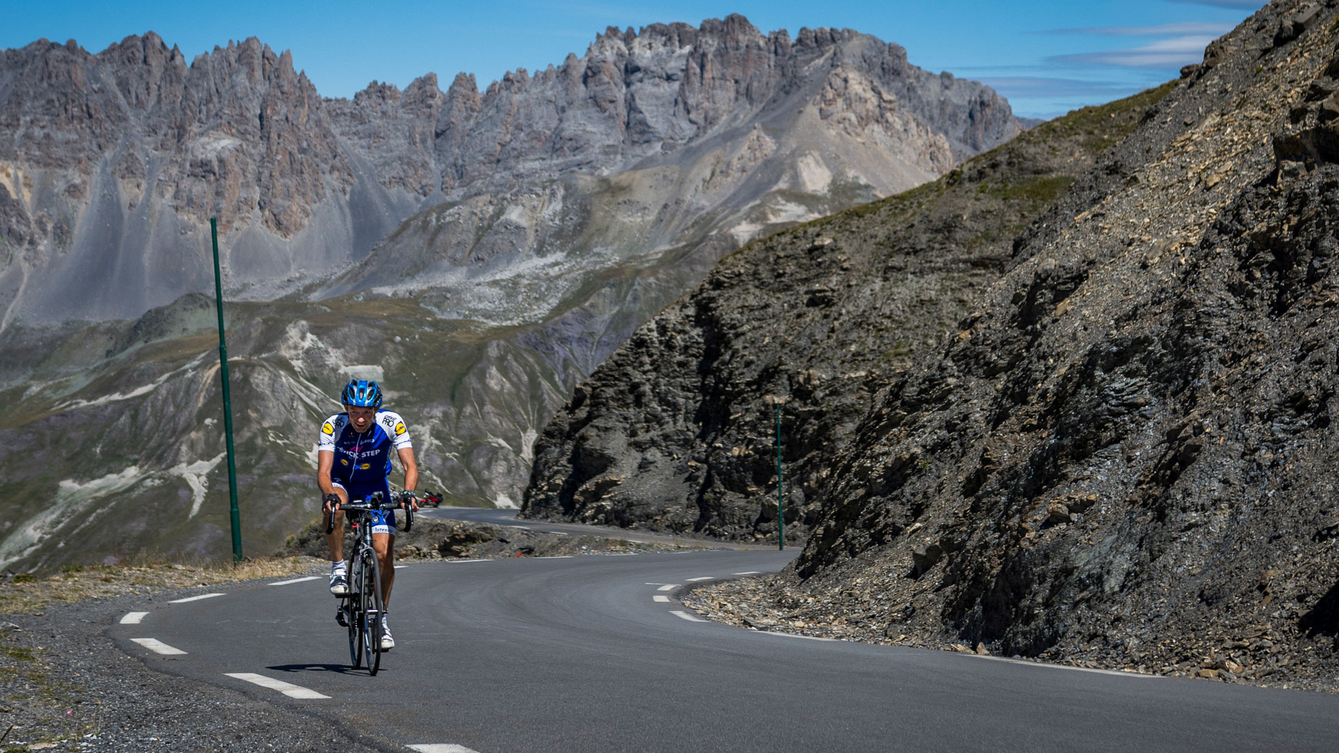
km 1830
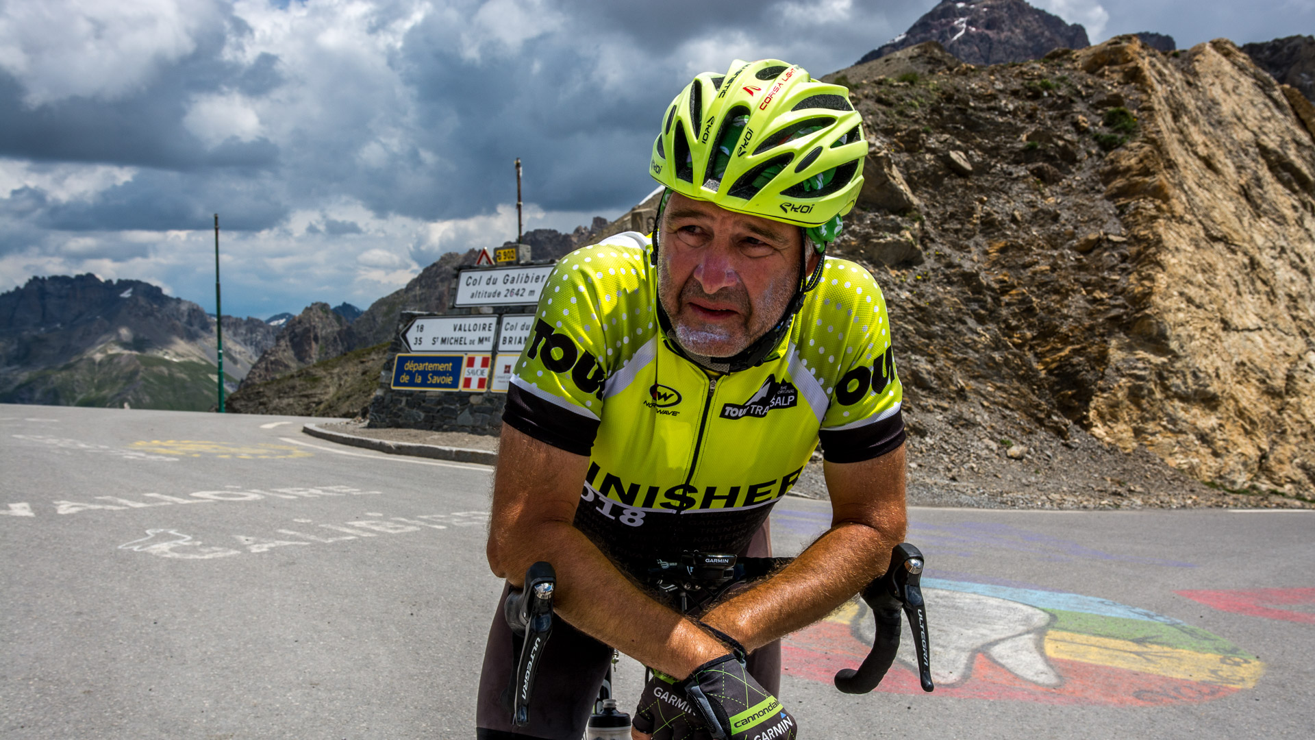
Mountain climbs can be really tough in the Alps, and each col is a personal victory...
Mountain climbs can be really tough in the Alps, and each col is a personal victory...
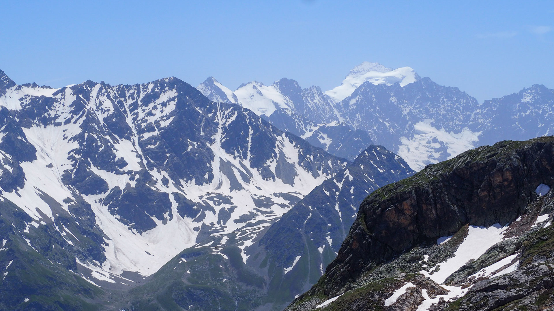
The Galibier offers superb views of the Écrins Range. At over 4000 metres, the Barre and Dôme des Écrins dominate the surrounding peaks.
© Vincent Gauthier
© Vincent Gauthier
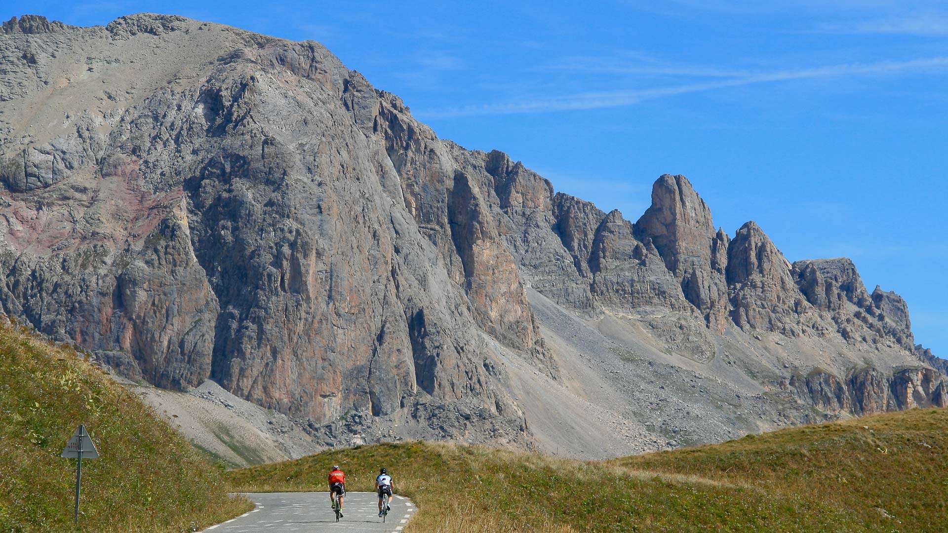
Descent towards the Col du Lautaret.
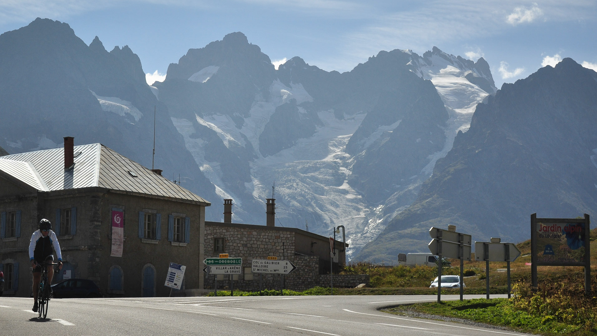
At the Col du Lautaret, with the glaciers of the Meije as a backdrop.
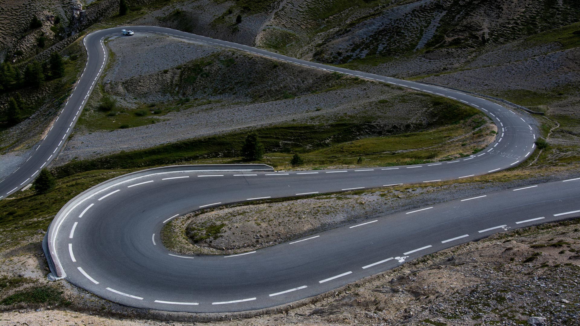
After passing through Briançon, the rocky decor on the climb to the Col de l'Izoard is a reminder that we're now in the Southern Alps. At 2362 m, the pass links the Briançonnais with the Queyras. Part of the Tour de France route on no less than 36 occasions, the Izoard is a legend in the world of cycling!
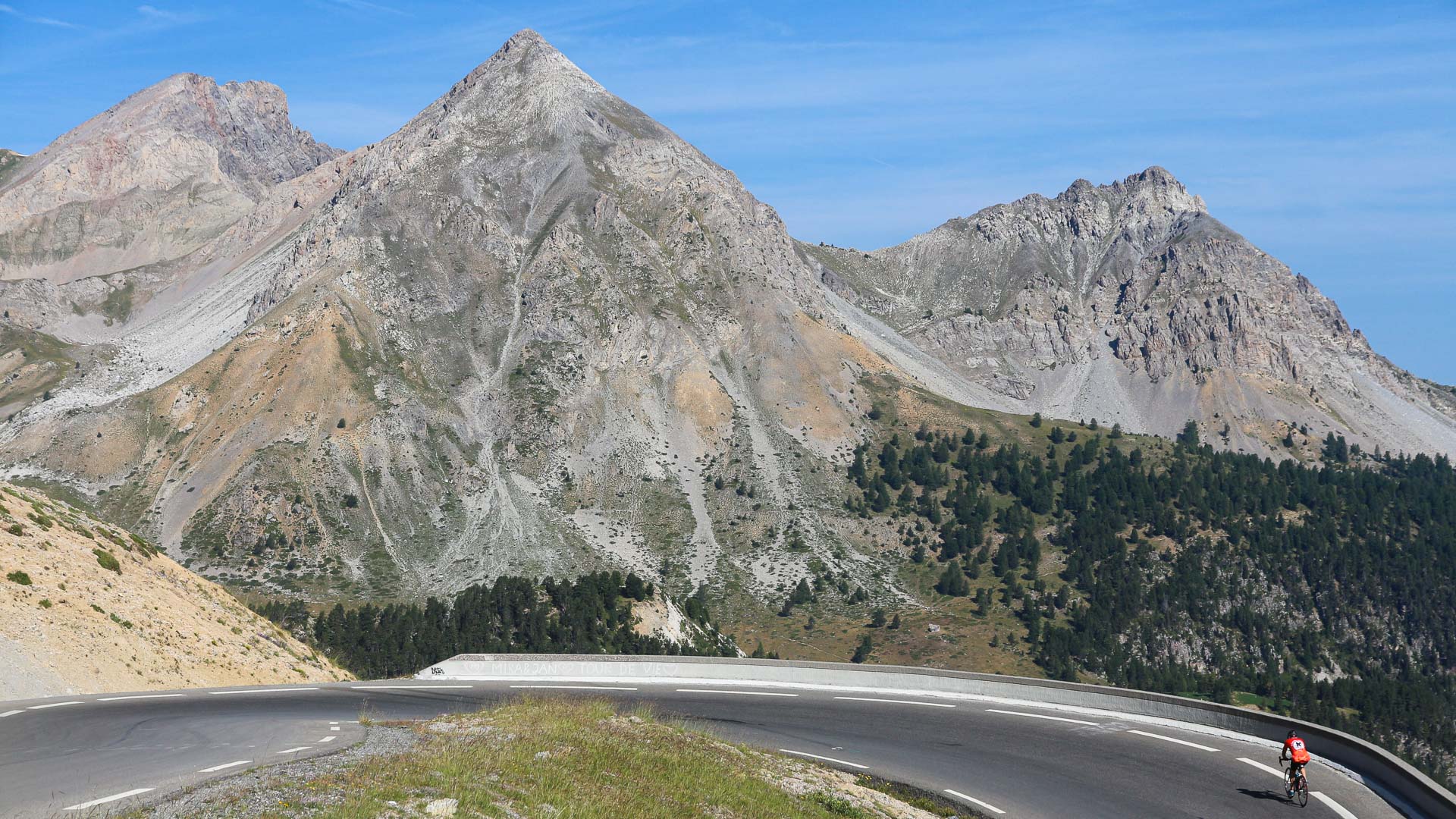
The last hairpins on the north side of the Col de l'Izoard, legendary climb of the Tour de France.
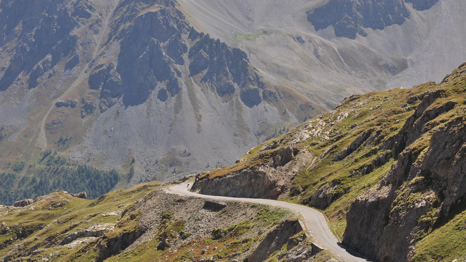
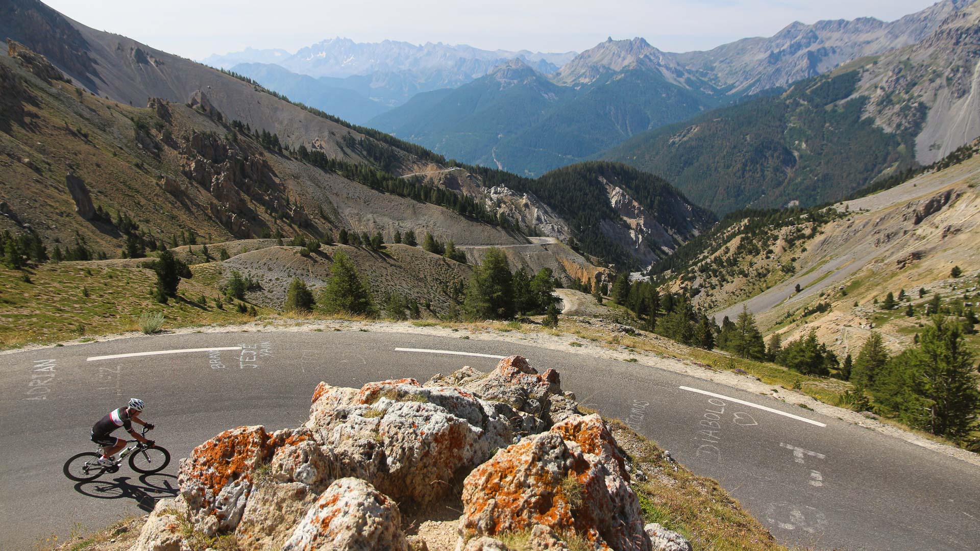
Superb panoramic views on the descent of the south side of the Izoard. The descent passes the Casse Déserte, where dramatic coloured limestone rock formations protrude from the steep scree slopes.
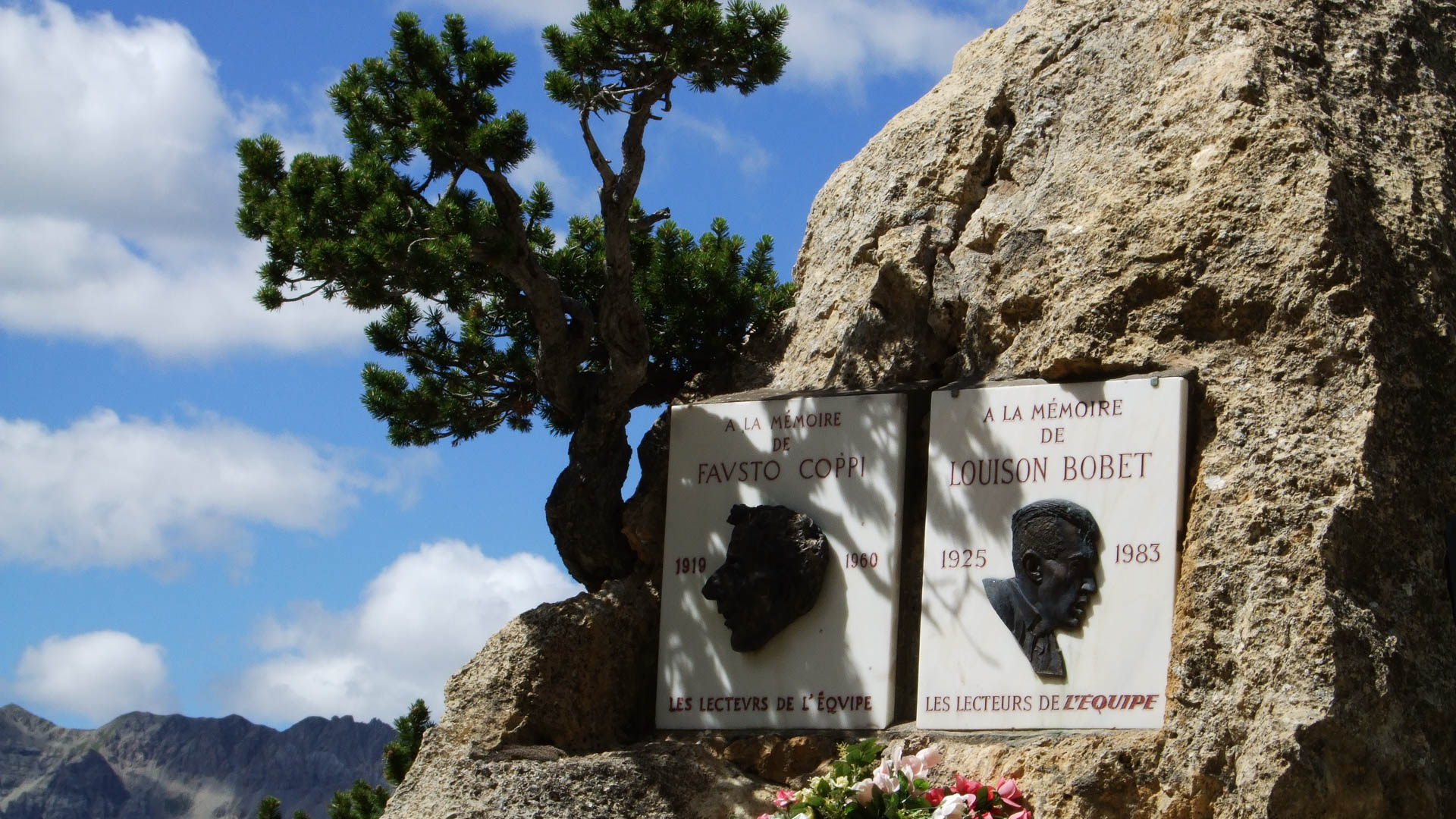
The Casse Déserte merits a brief stop. A commemorative stone pays tribute to two famous names from the world of cycling: The Italian Fausto Coppi and the Frenchman Louison Bobet. Both riders crossed the Izoard in the lead during several tours in the 1950's.
km 1940
A fairly easy end to the climb up to the Col de Vars (2109 m), after twenty kilometres and 1100 metres of climbing.
A fairly easy end to the climb up to the Col de Vars (2109 m), after twenty kilometres and 1100 metres of climbing.
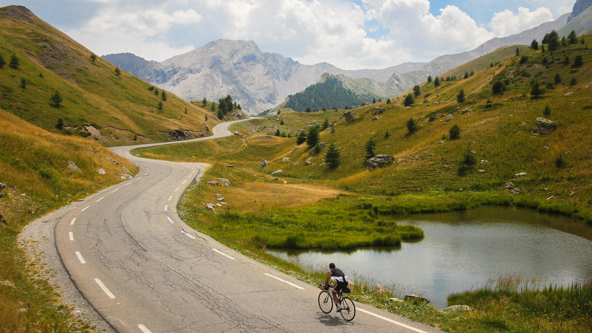
From Jausiers, an optional route takes in the famous Cime de la Bonnette, high point of the traverse at 2802 metres!
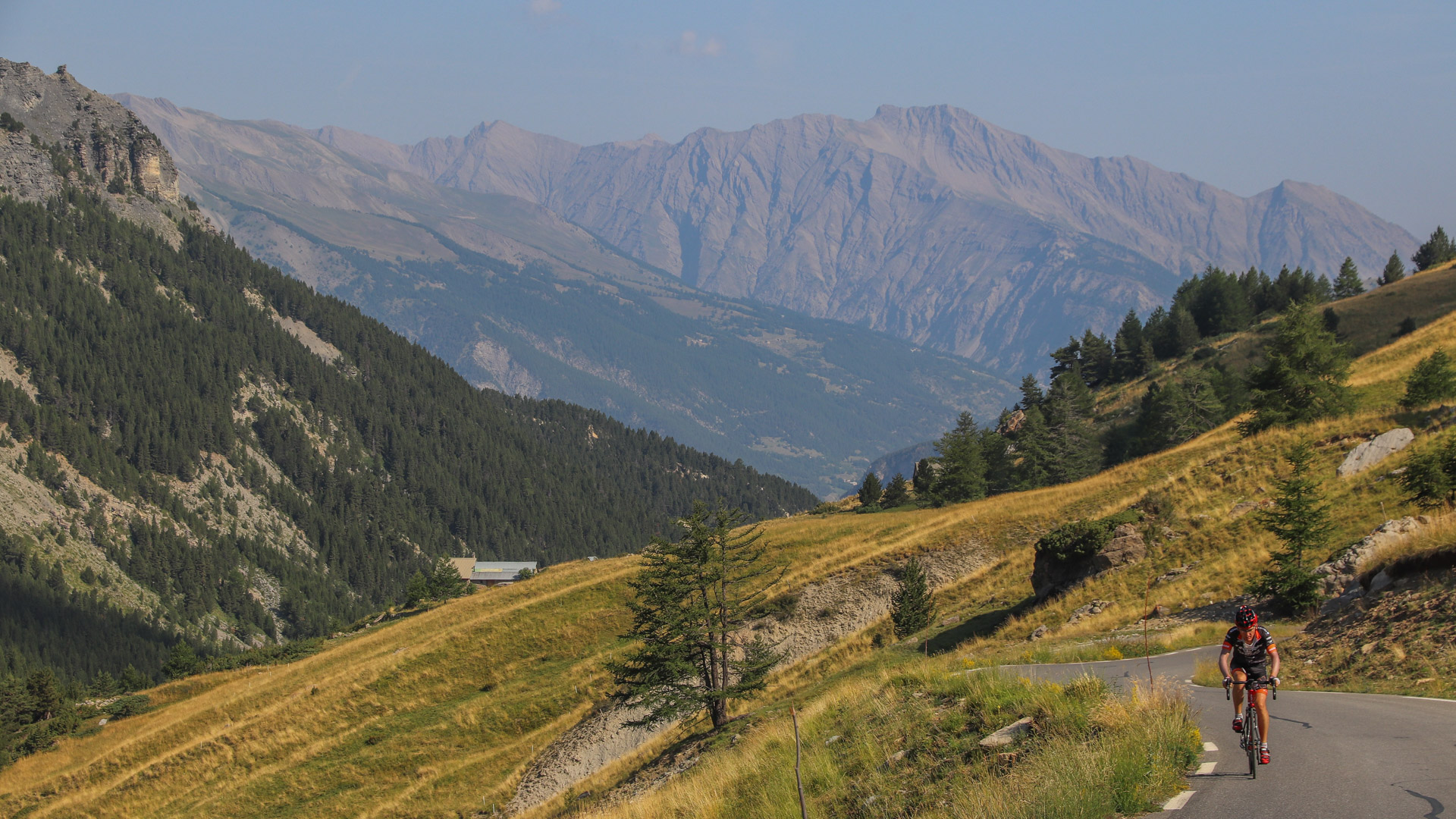
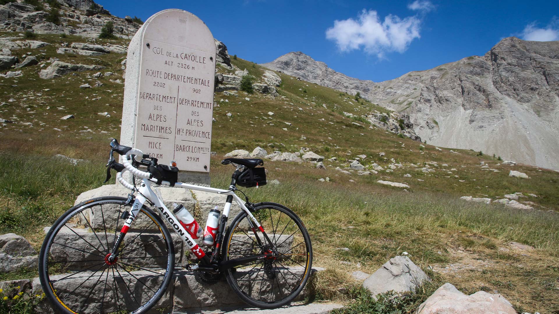
The Col de la Bonette links the two valleys of the Ubaye and the Tinée. One option is to ride the north side as an out-and-back, in order to then tackle the Col de la Cayolle from Barcelonnette.
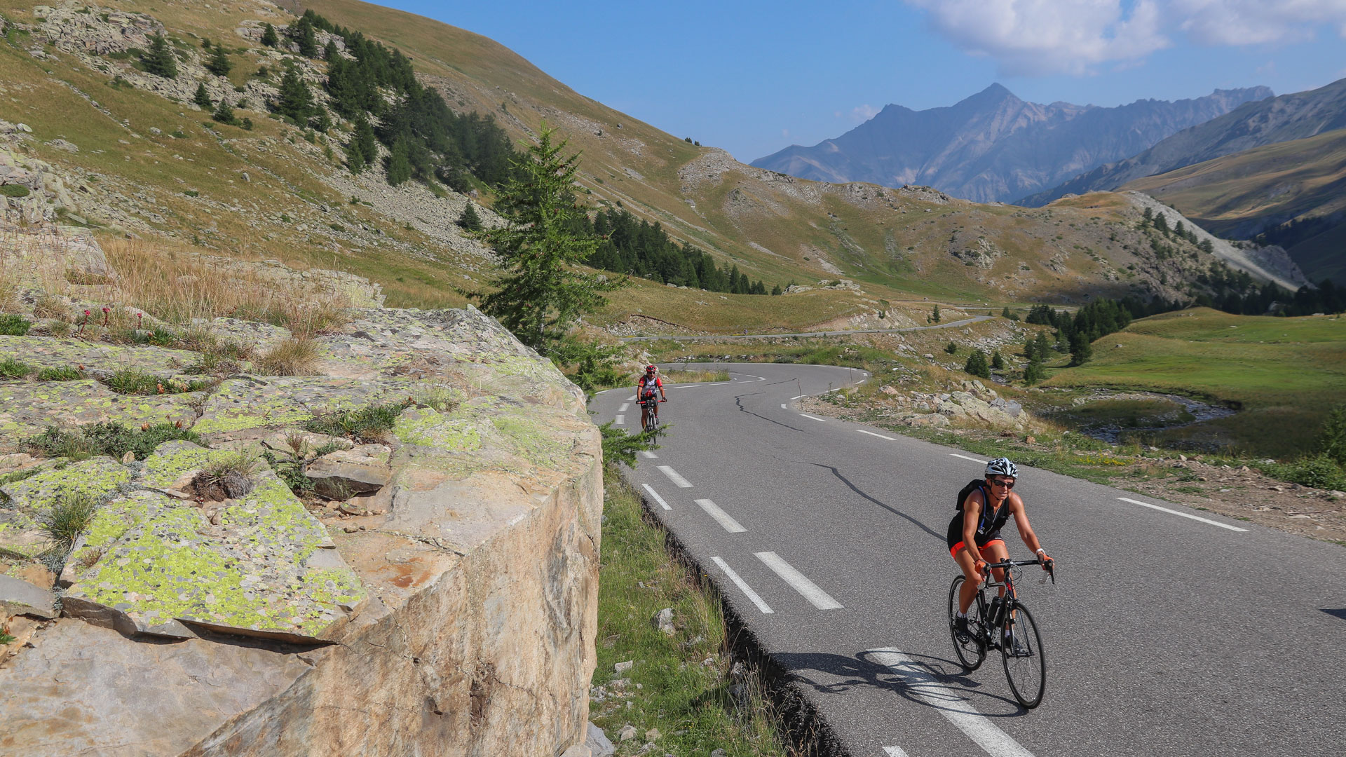
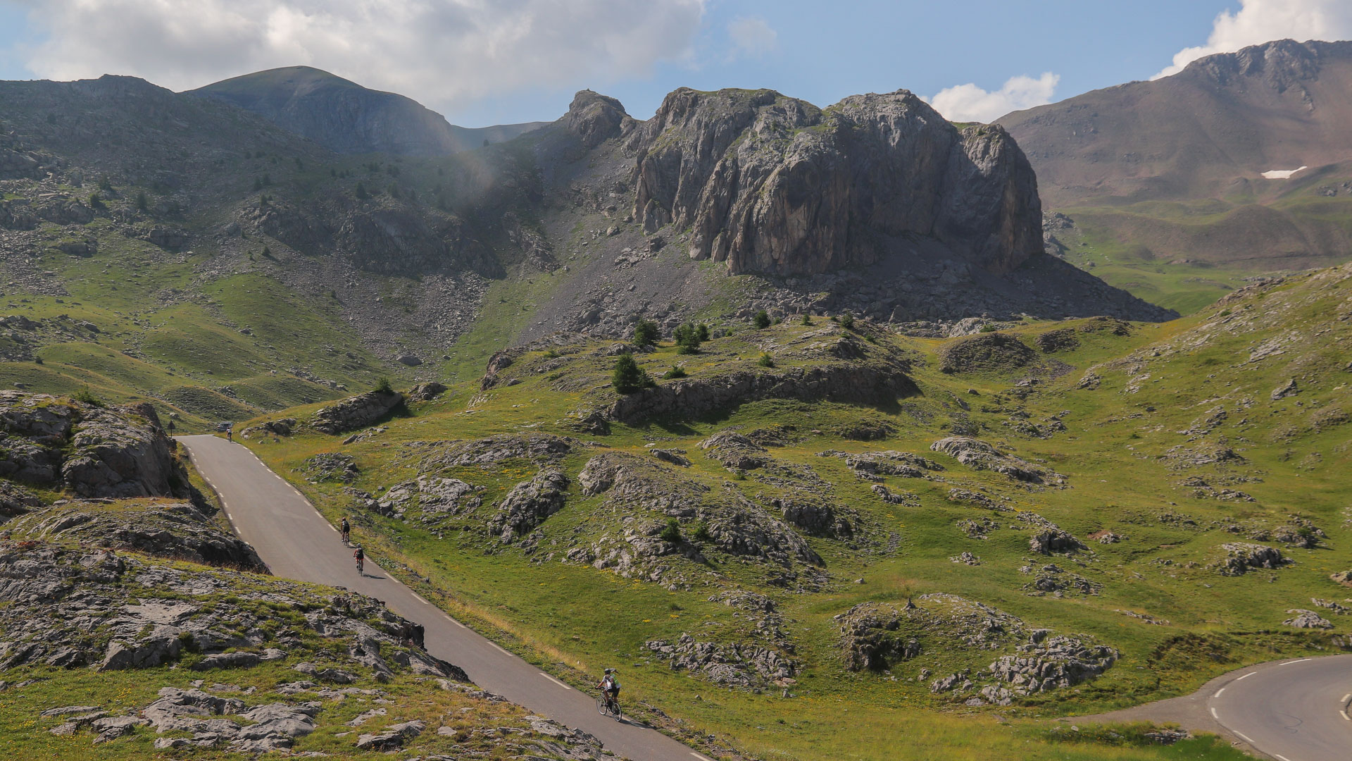
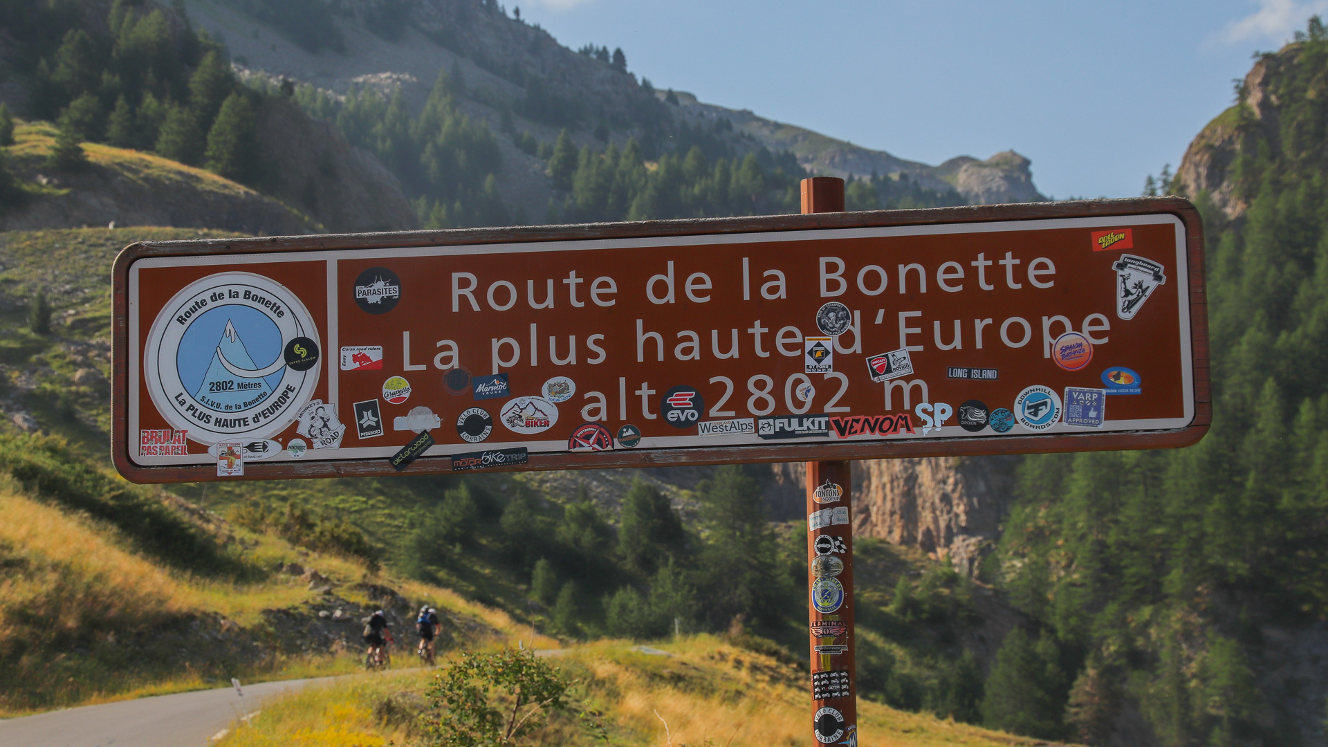
From the Col de la Bonette, at 2715 m, a tarmac road circumvents the peak, climbing to an altitude of 2802 m, high point of the Grande Traversée des Alpes. However, contrary to the claim on the sign, it's not the highest road in Europe... Two other tarmac roads are higher: the Ötztaler Gletscherstraße in Austria at 2829 m, and the Pico Veleta in Spain at 3396 m.
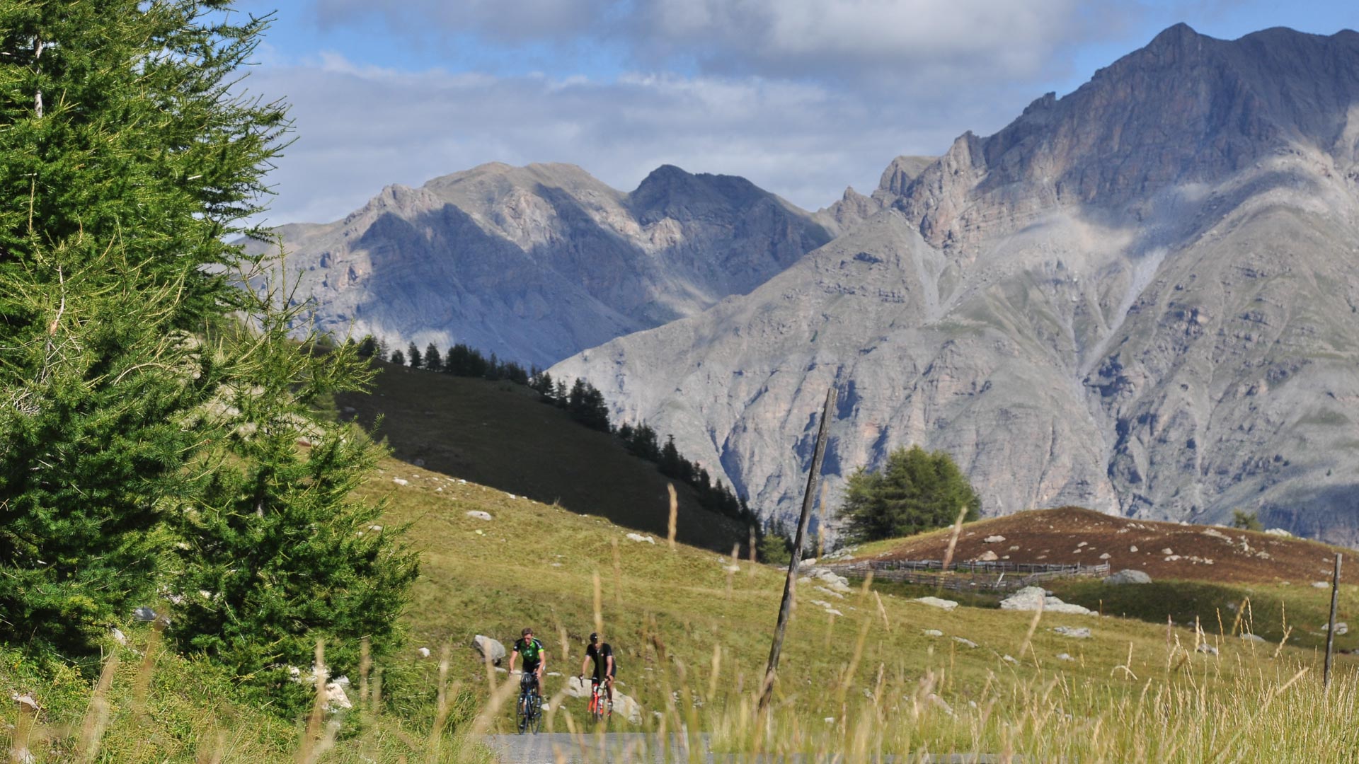
The climb up the Col de la Cayolle is memorable. Steep rock faces on one side contrast with lush green pastures opposite, full of marmots, waterfalls and larch forests. The narrow mountain road appears to have been built for cyclists...
km 1986
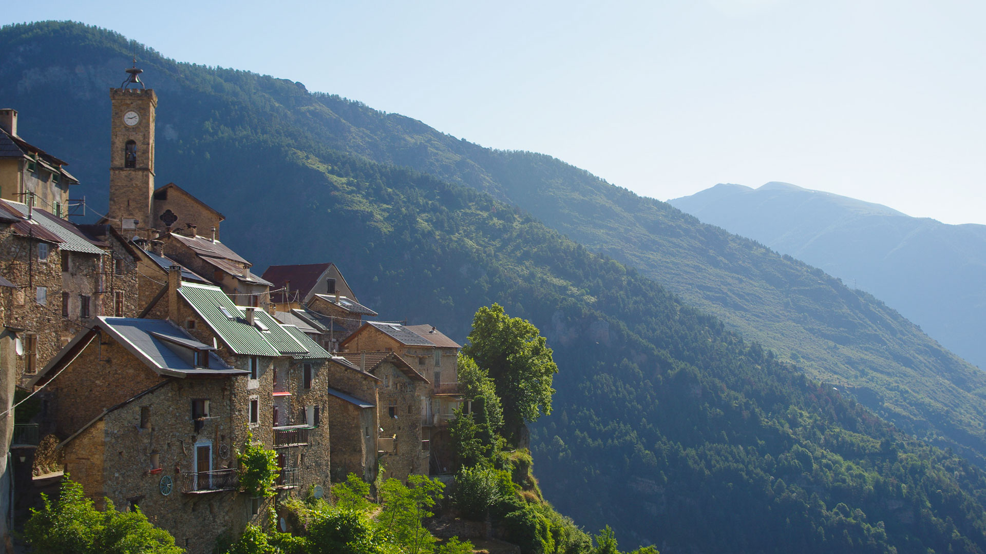
The pretty village of Roubion, on the descent from the Col de la Couillole (1678 metres), literally hangs to the mountainside, overlooking the steep sided Tinée Valley.
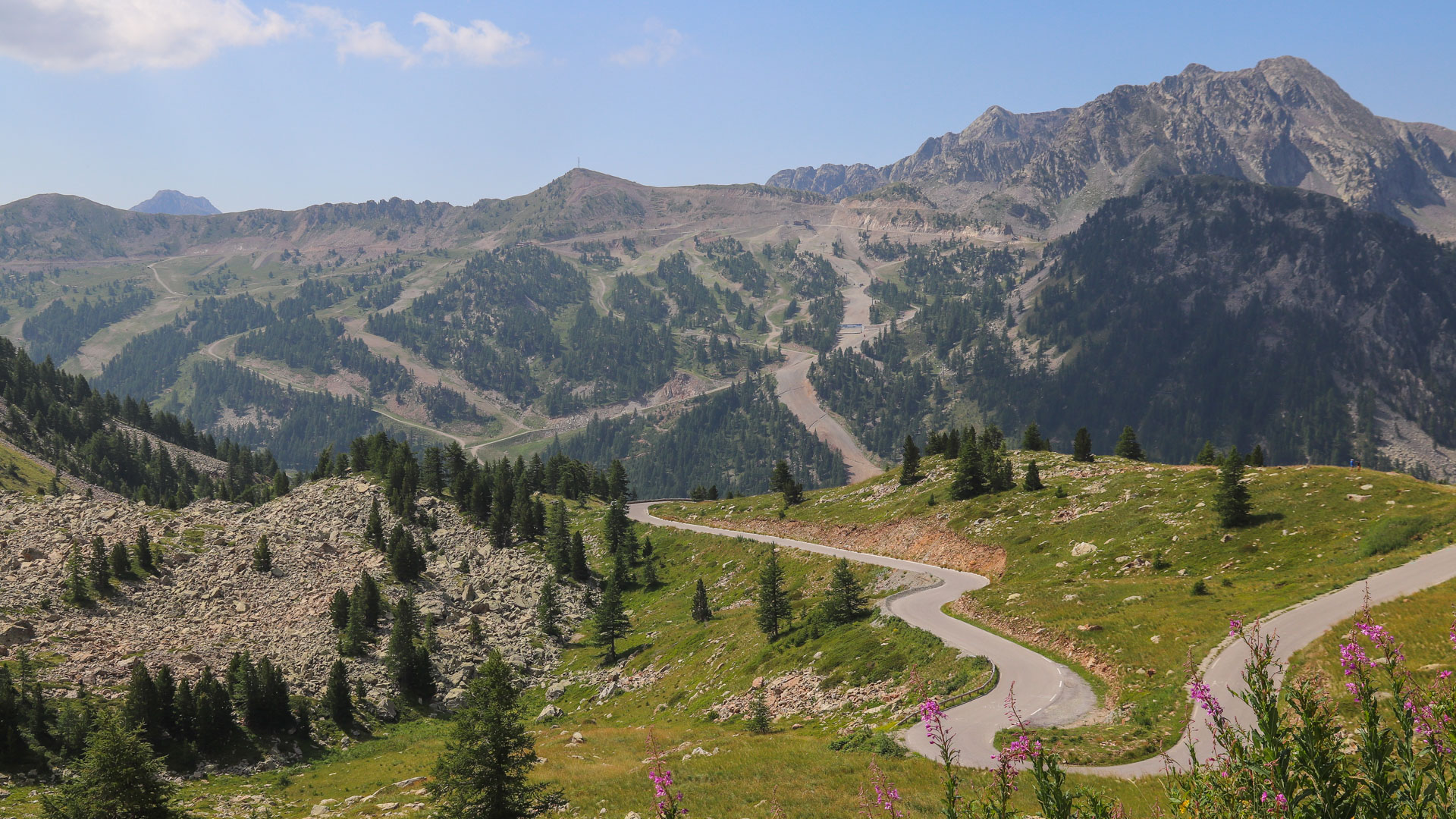
For those with energy to spare at this late stage of the Grande Traversée des Alpes, the Col de la Lombarde, above Isola 2000 on the frontier with Italy, is highly recommended. 6th highest road pass in France at 2351 m, the challenge is rewarded with some stunning Maritime Alps scenery. The climb on the north side is 21 km, with a few sections at 10%.
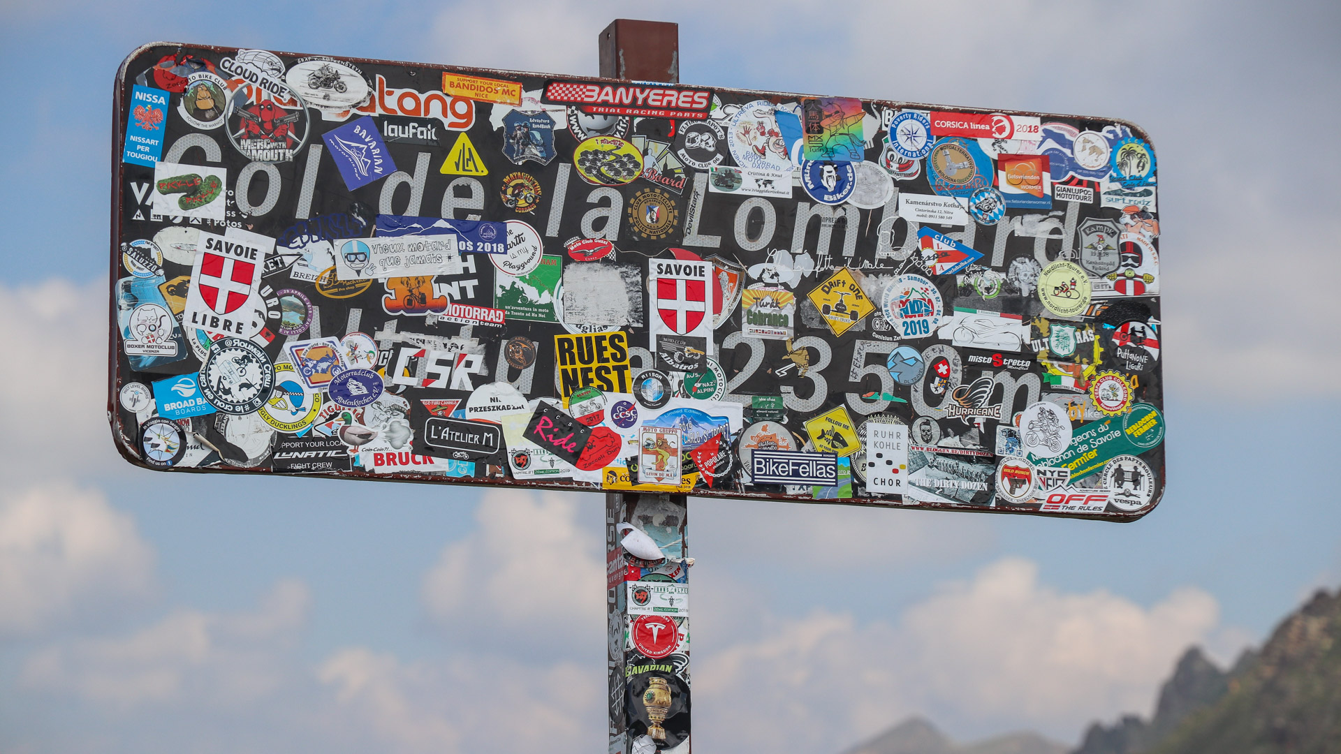
Everywhere you look on the Alps Traverse, the mountain pass signs are covered in stickers, all but obscuring the signs themselves... Each year the major passes draw thousands of tourists from the four corners of the world.
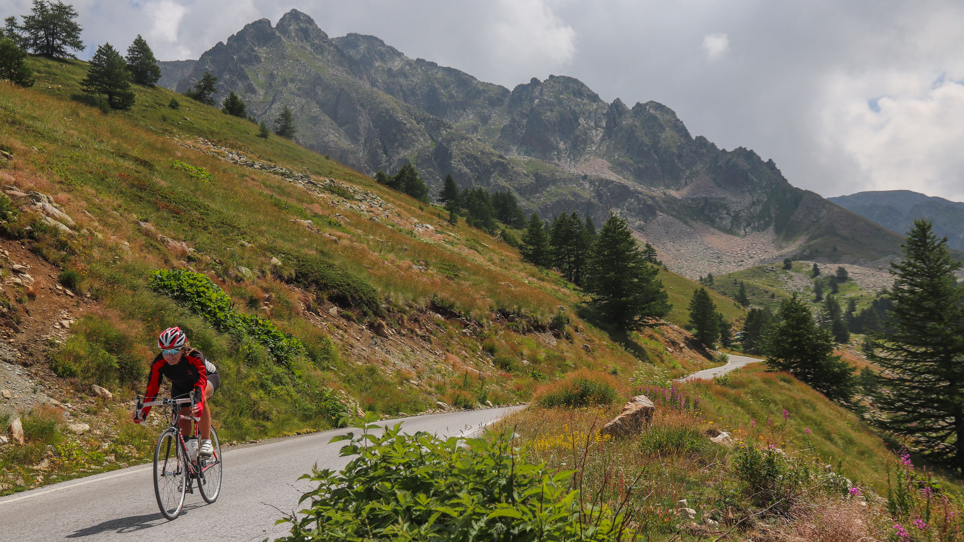
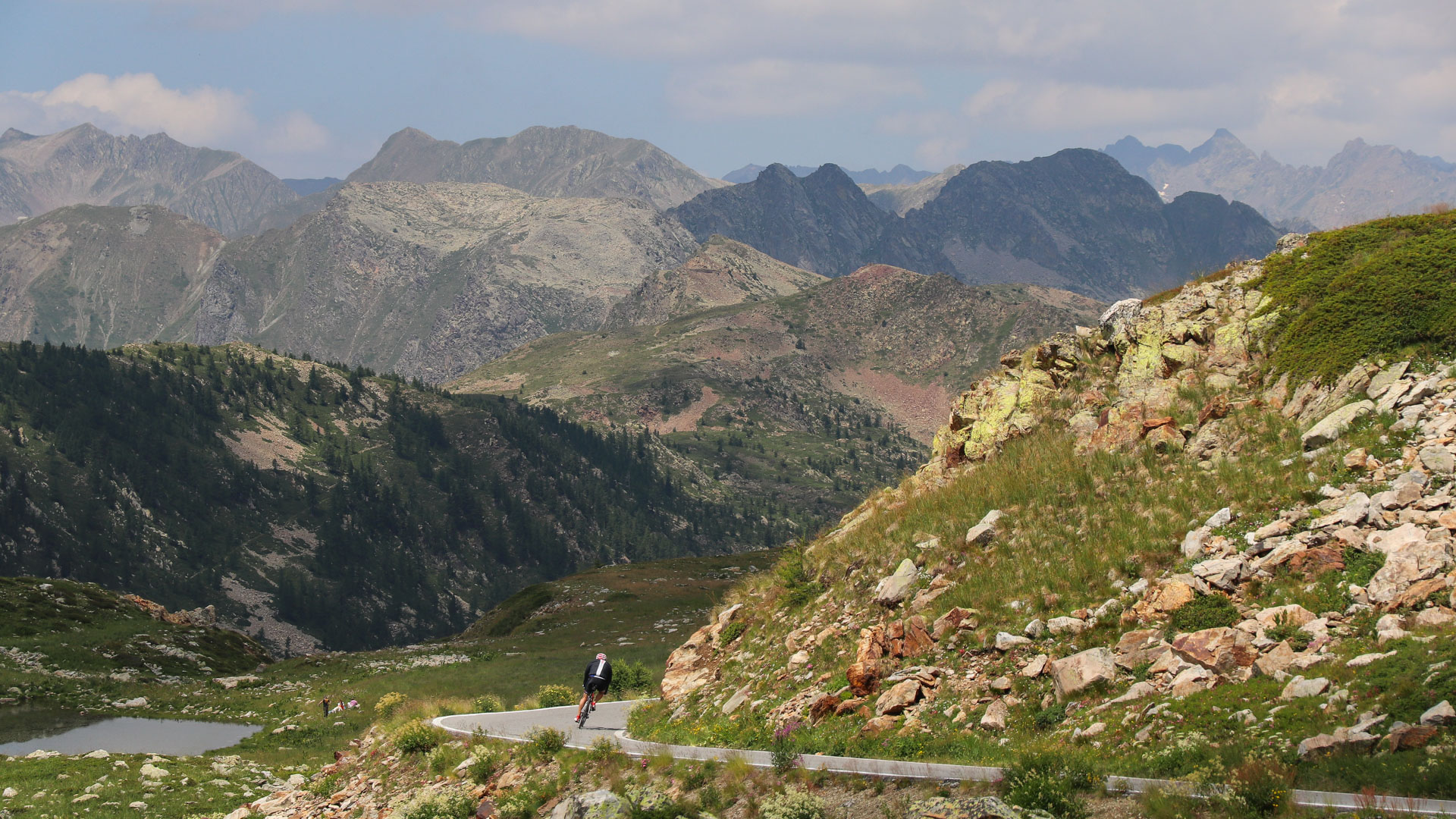
km 2109
The Col de Turini (1604 m) is the last major pass of the route. Before plunging to the Mediterranean, a tour of the Authion is well worth the effort, offering panoramic views and some wild scenery, as well as one last chance to top the 2000 m mark. The route offers superb views of the Nice Pre-Alps!
The Col de Turini (1604 m) is the last major pass of the route. Before plunging to the Mediterranean, a tour of the Authion is well worth the effort, offering panoramic views and some wild scenery, as well as one last chance to top the 2000 m mark. The route offers superb views of the Nice Pre-Alps!
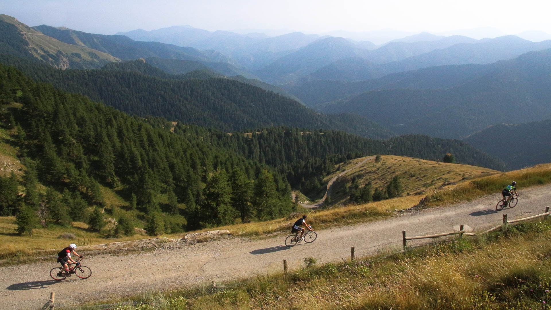
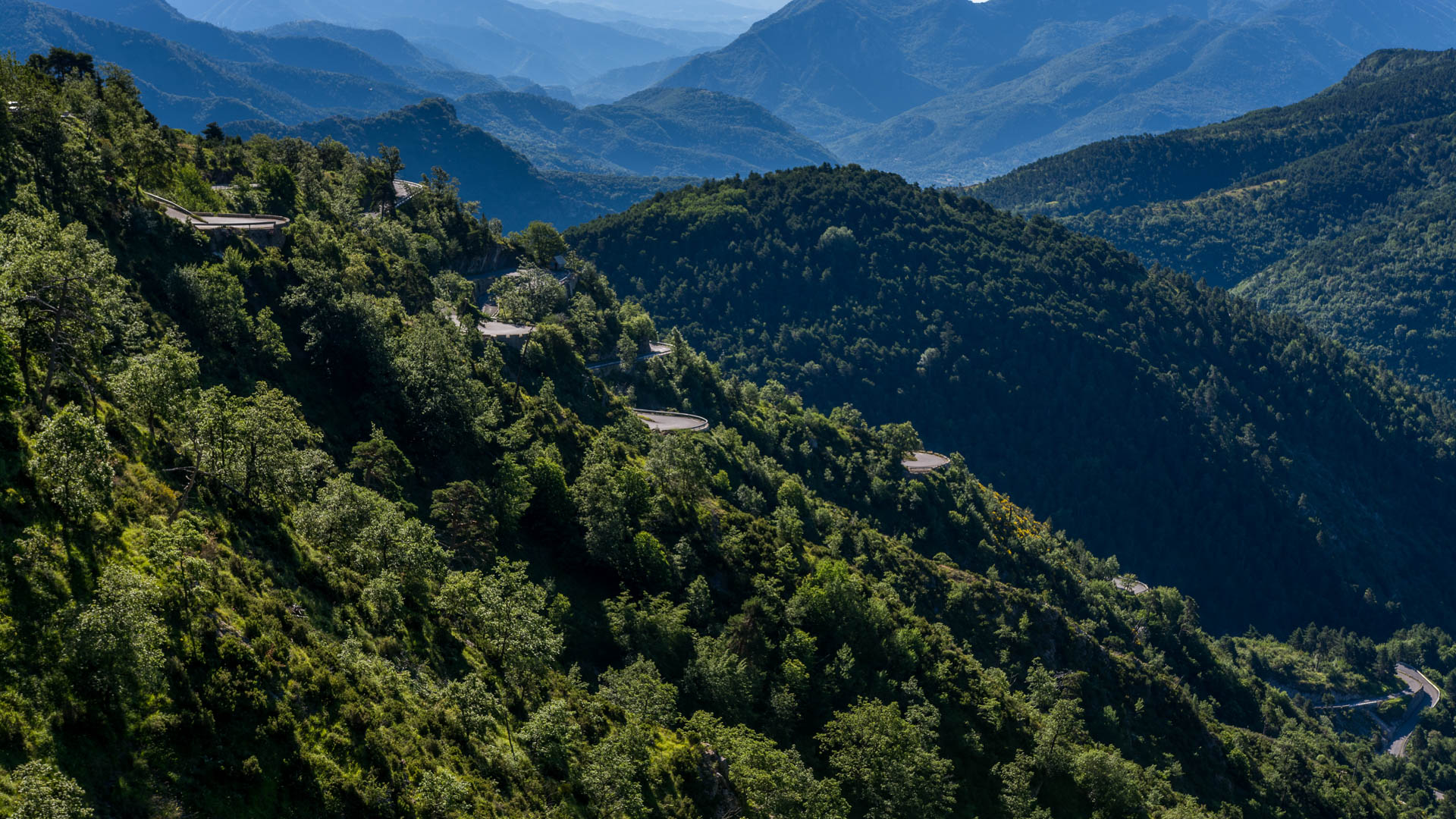
The descent from the Col de Turini is a succession of superb hairpin bends on small back roads, where the vegetation becomes distinctly mediterranean.
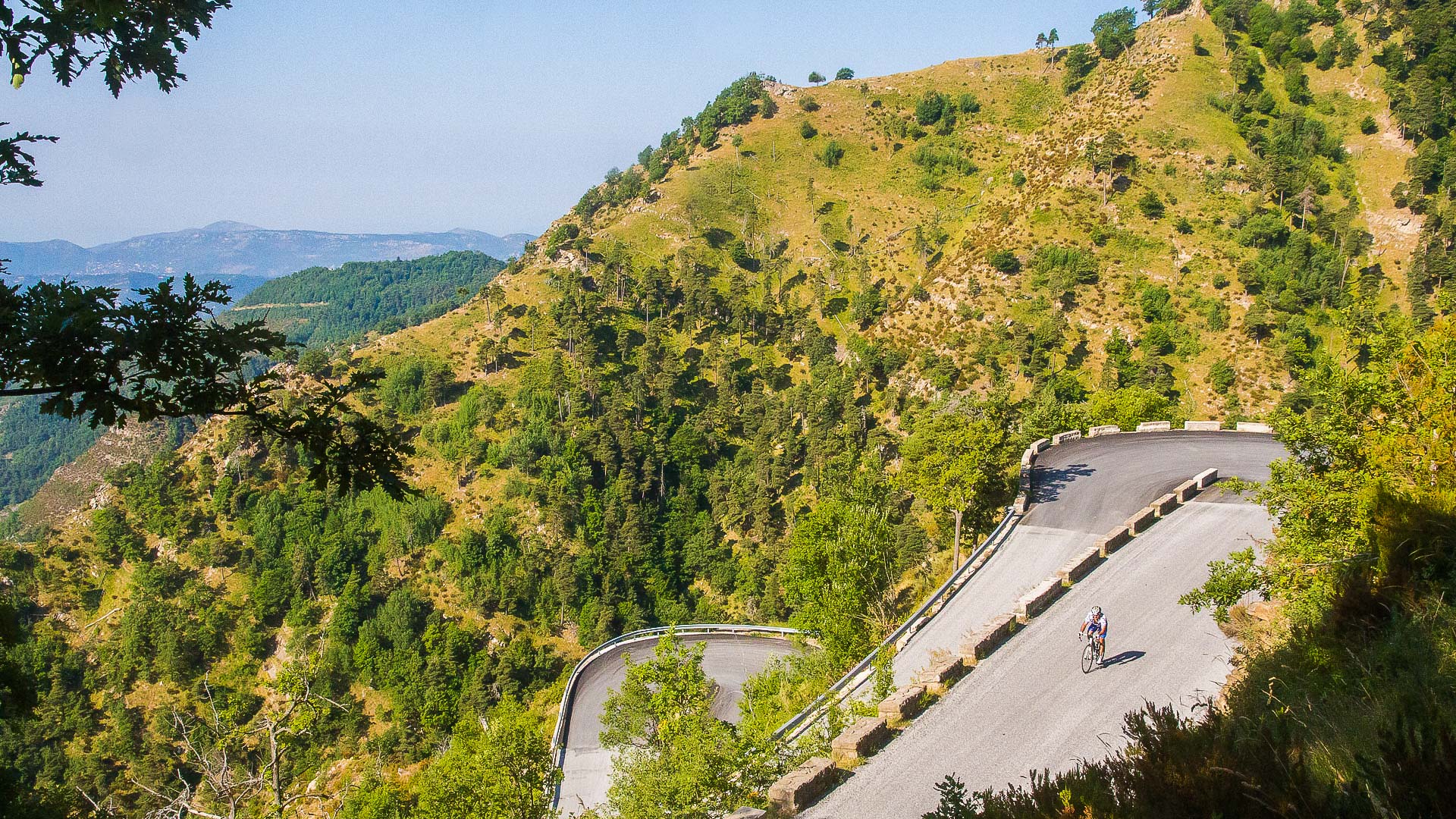
The terrain doesn't get any less steep as the sea approaches... On the contrary, the Alps litterally plunge into the Mediterranean Sea!
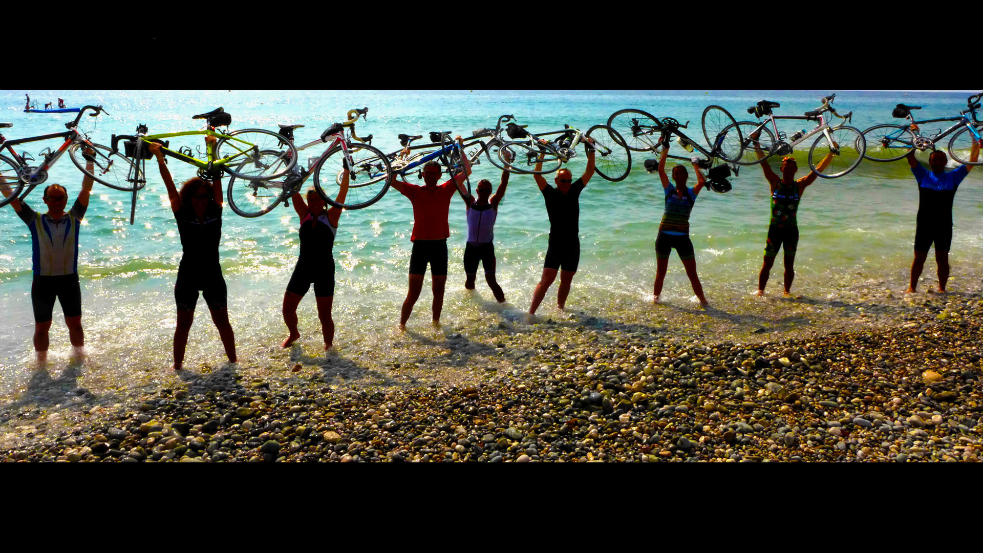
Km 2150: end of the Alps Traverse in Menton, with an obligatory dip in the Med to mark the occasion!
/

