Velo Spirit » Bike & fly in Normandy
Bike & fly in Normandy
The first bike and paragliding combo by Anthony from Carnets d’Aventure magazine takes place in the Cotentin (northern France). Not the most exotic destination that comes to mind! 3 weeks alternating fatbiking on the area’s immense beaches and paragliding prove you don’t need to go far to find adventure!
Text and photos: Anthony Komarnicki
This article is supported by CARNETS D’AVENTURE
To view the content, please switch your smartphone to landscape format.
This article is dedicated to Yann, creator and builder of Salamandre fatbikes, who sadly passed away in March 2021. This fantastic, unforgettable adventure was made possible with the loan of one of his bikes. Not only a master craftsman, Yann was full of ideas and enthusiasm when it came to new projects. Thank you Yann!
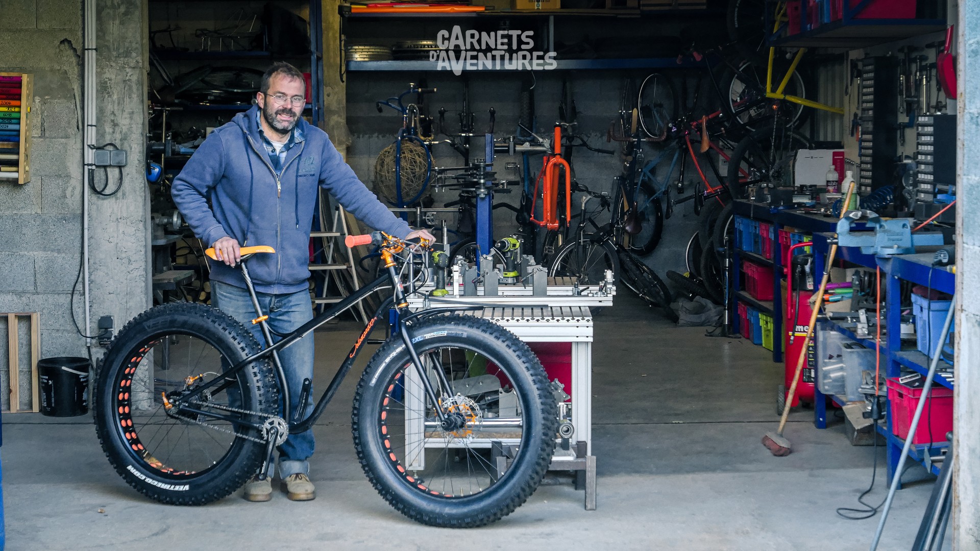
With Yann, on a fatbike test session.
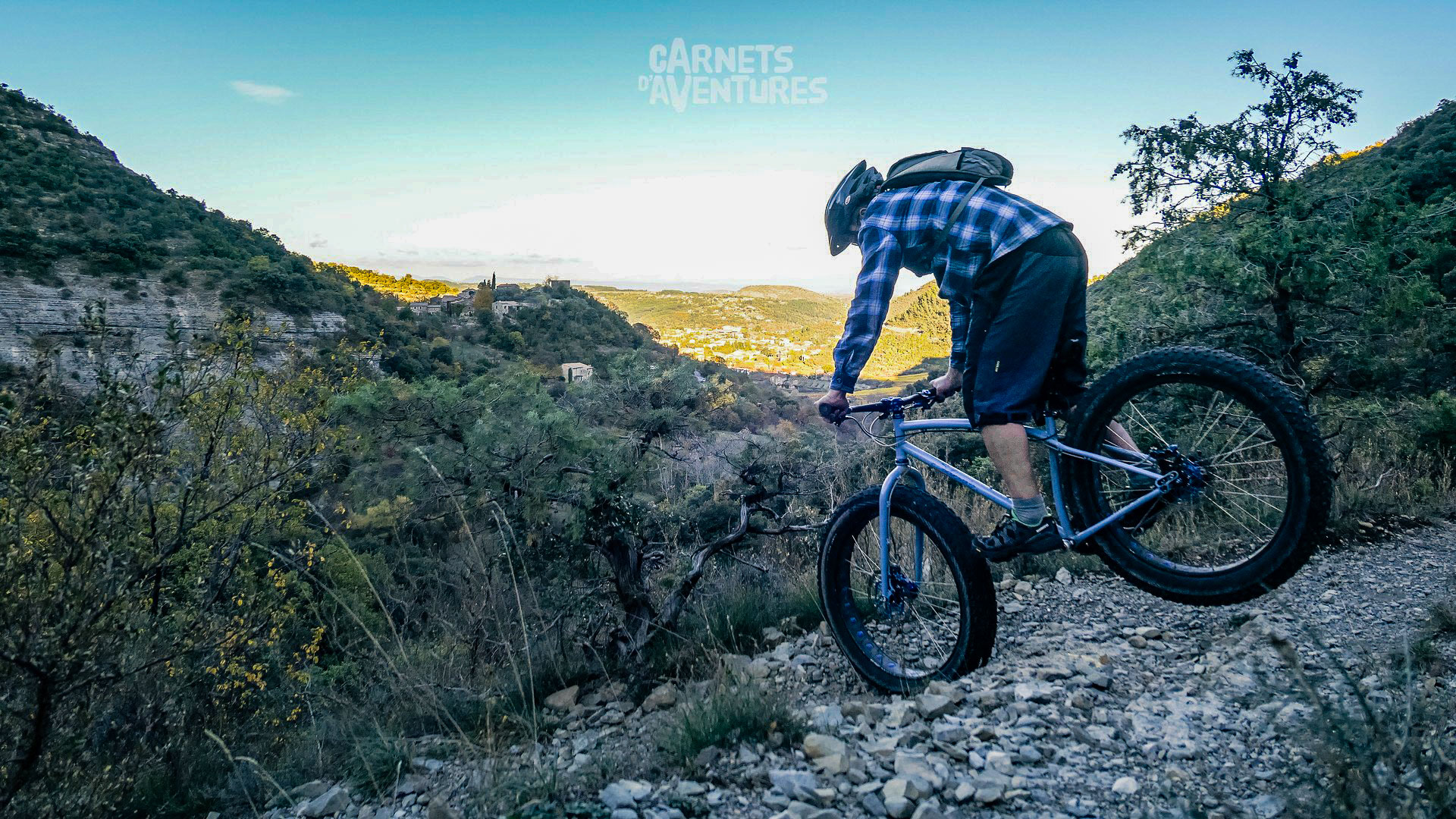
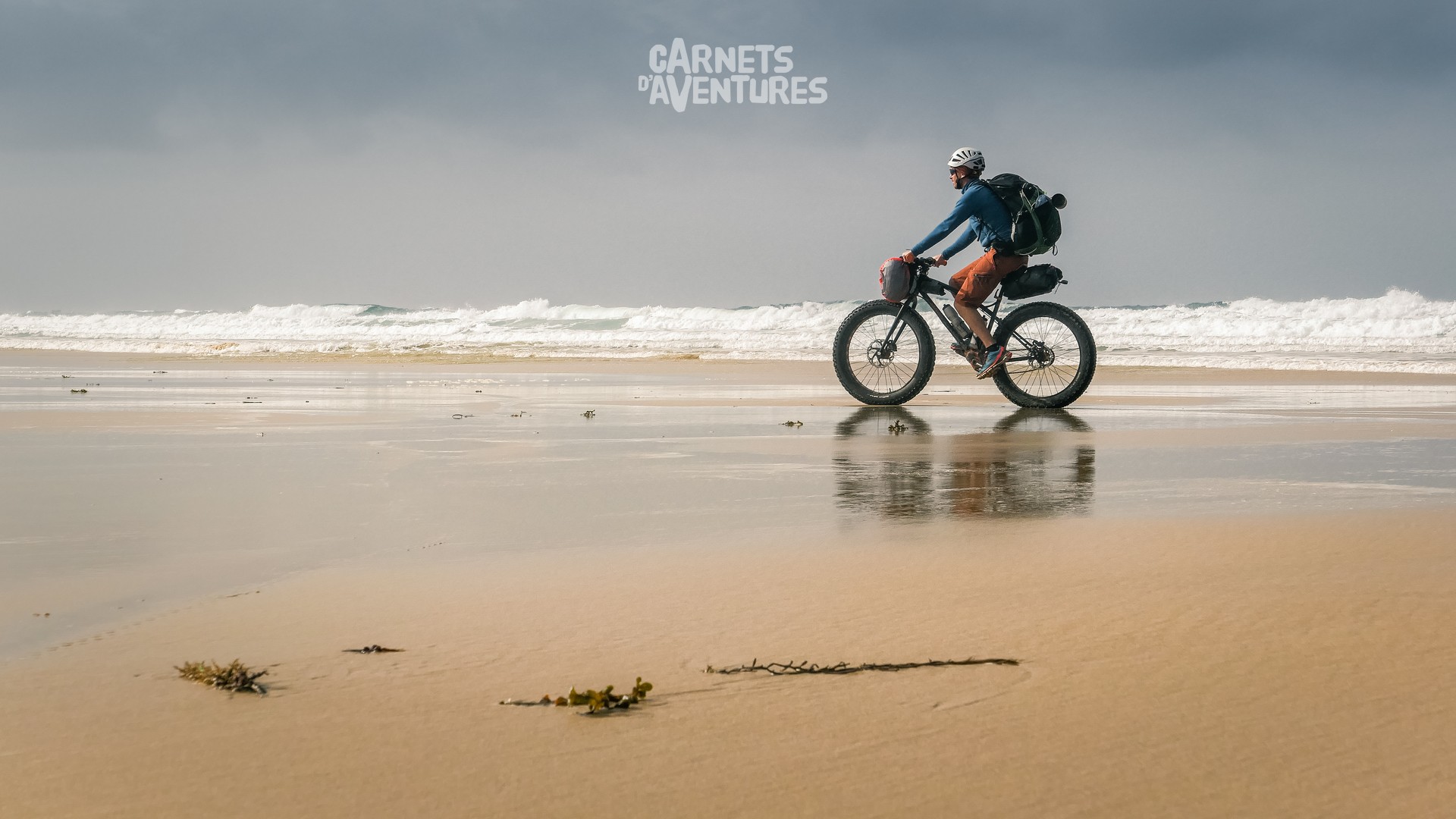
First pedal strokes in Normandy. My tour begins in Deauville, which I leave as quickly as possible to reach the area's distinctive large, open beaches.
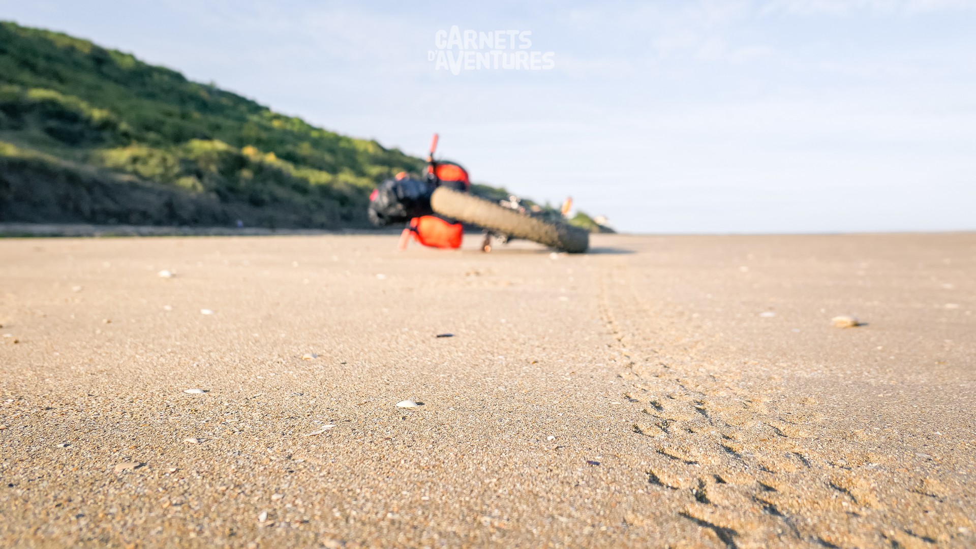
Low tide unveils a hugely varied surface, more or less stable, more or less rideable. Thus begins a new learning process of line choices...
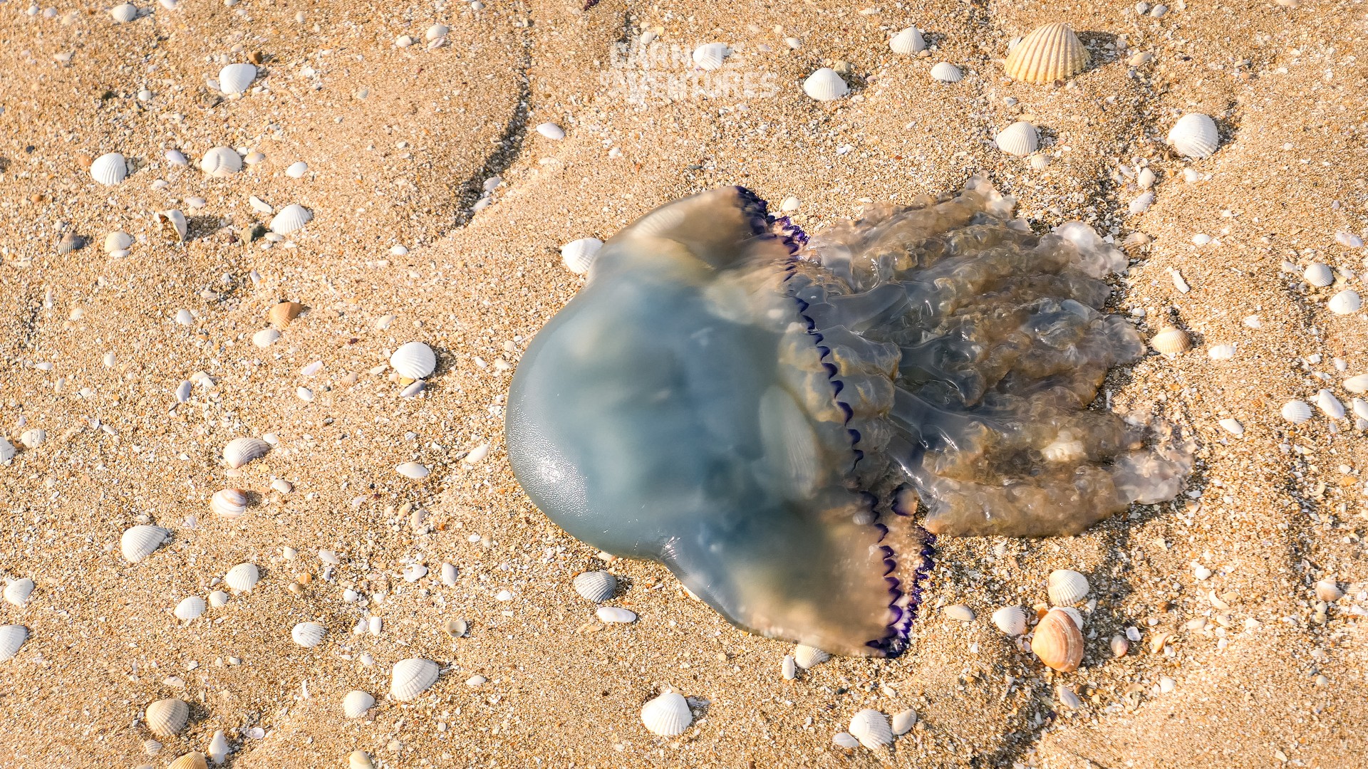
Despite their formidable stings, jellyfish are amazing creatures, with fantastic colours.
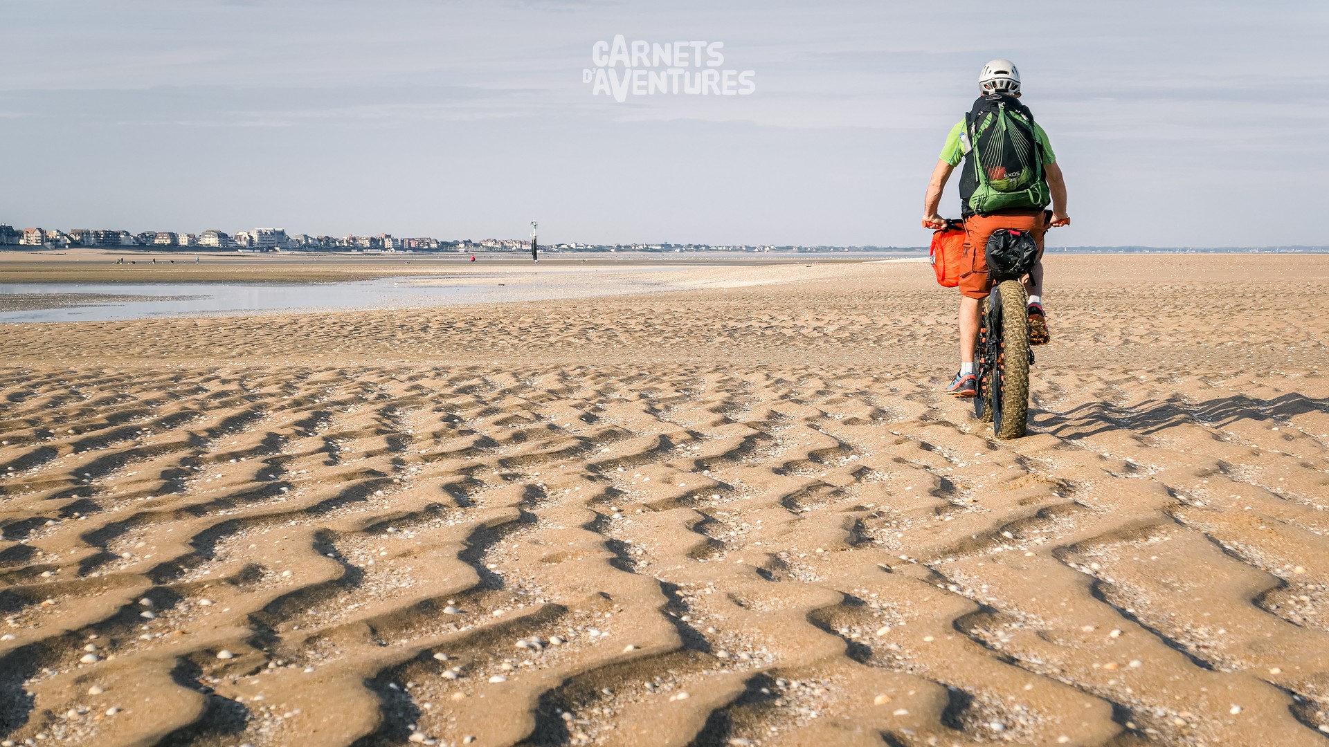
I'm blown away by the landscapes right from the start. It feels like I'm riding on another planet.
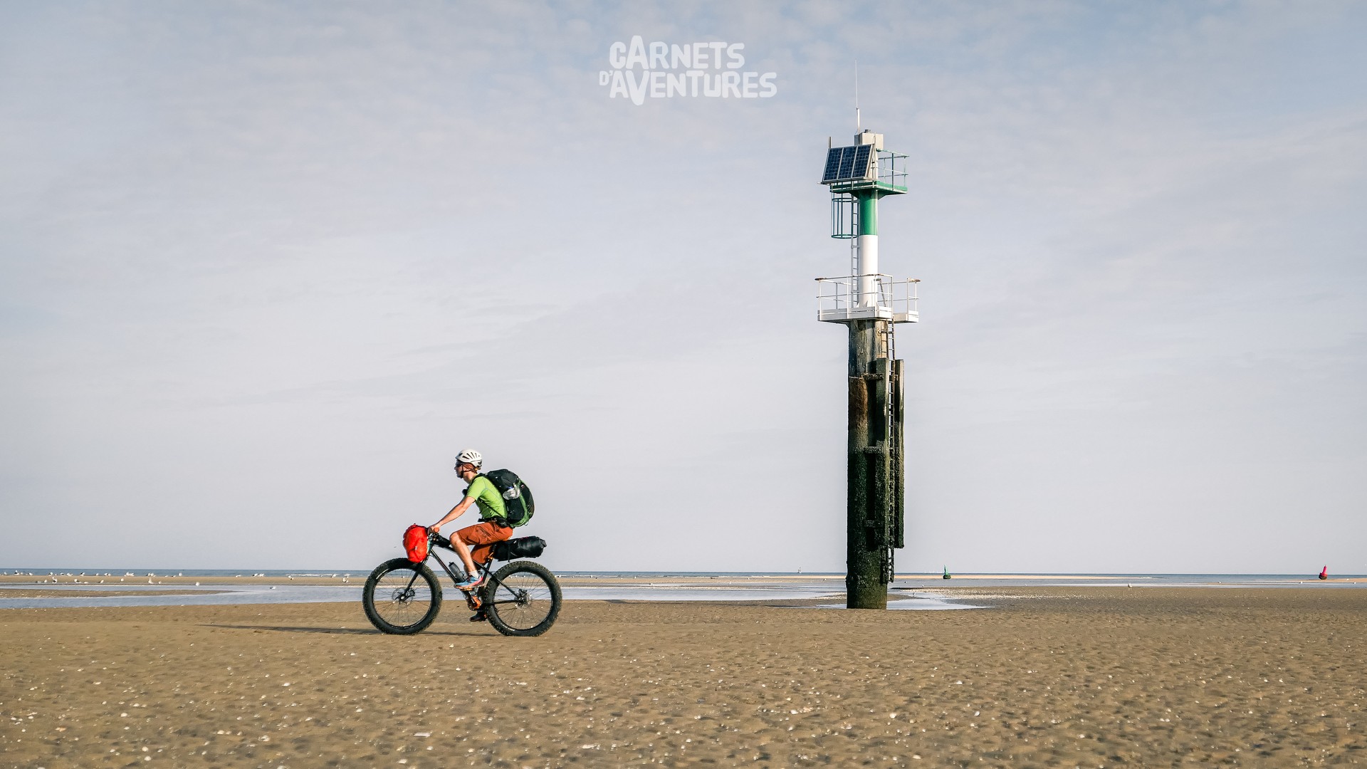
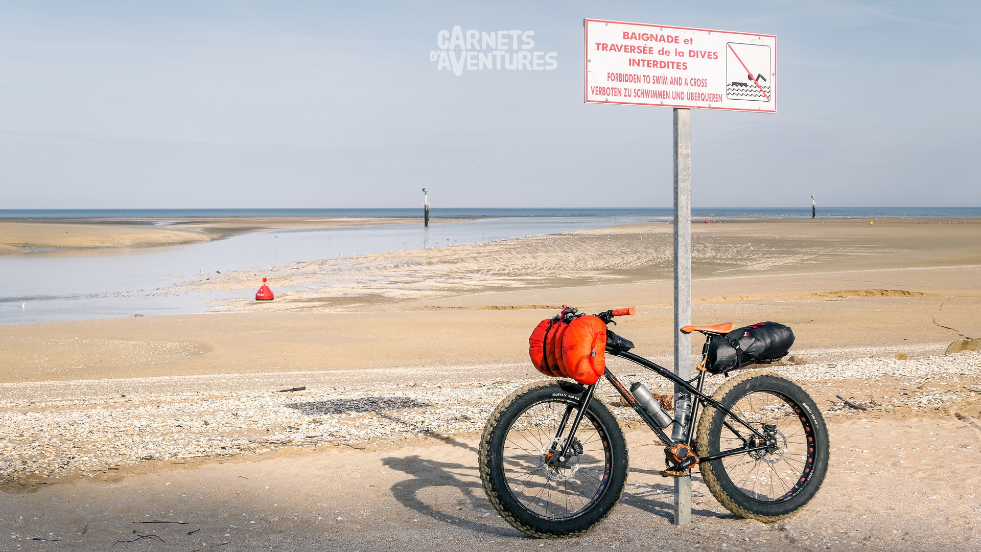
Though not large, each river that arrives at the sea is unpassable, even at low tide (the flow rate is still the same!). I make short detours inland to reach the opposite shore.
Ouistreham on a sunny Sunday. It's the only busy beach for miles around!
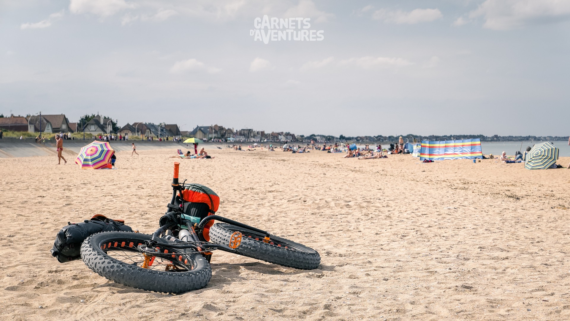
... and in stark contrast with all the other beaches in the area, always deserted or very quiet.
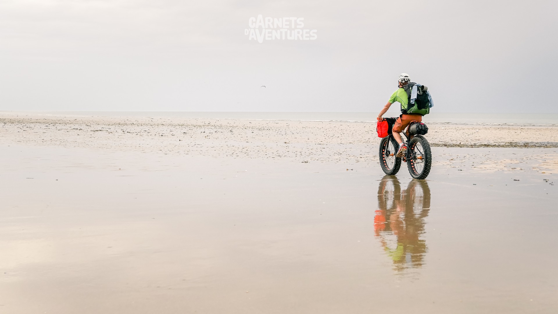
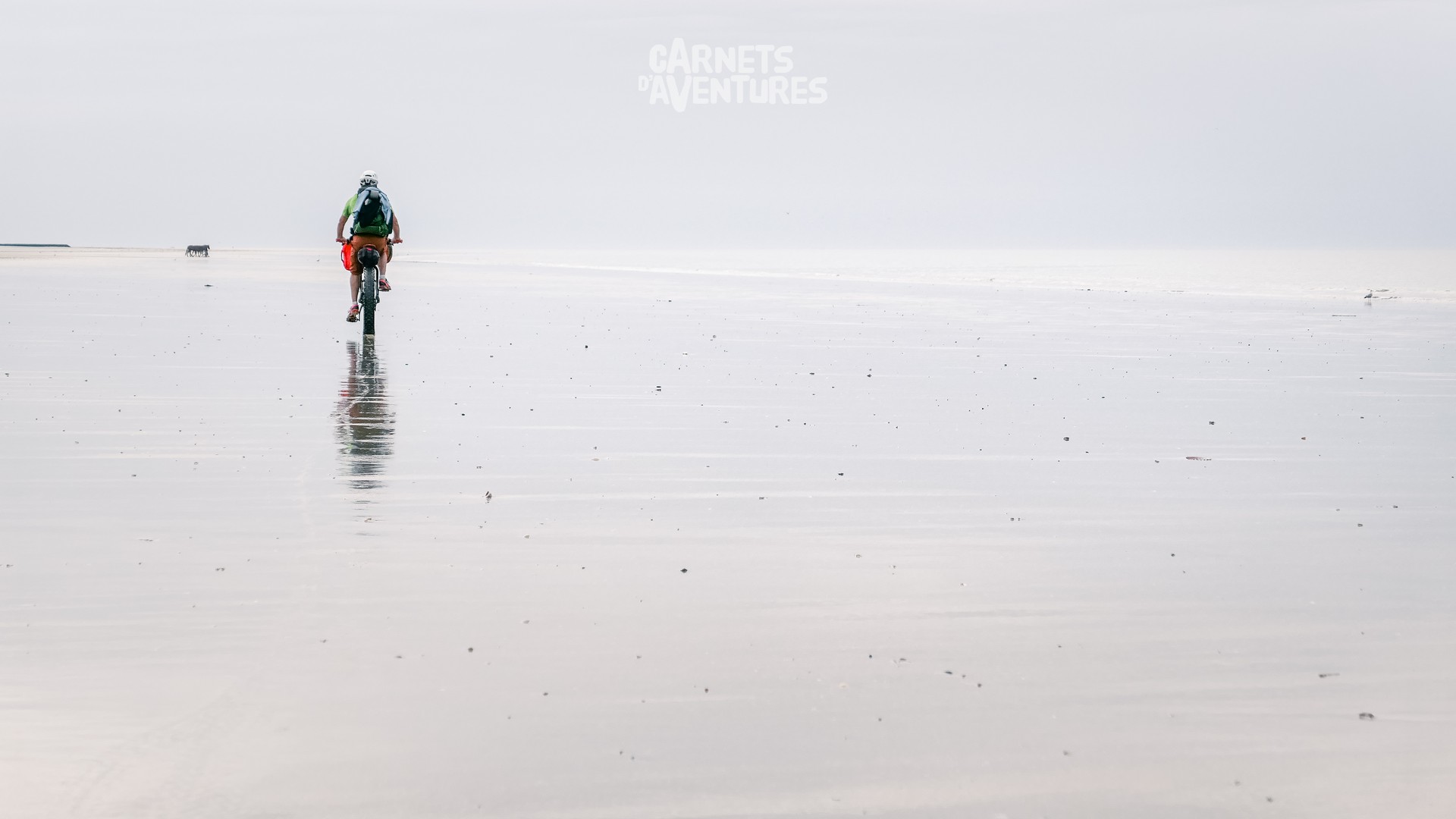
I occasionally meet people on horseback, galloping through the vast open spaces. There's a real sense of freedom here!
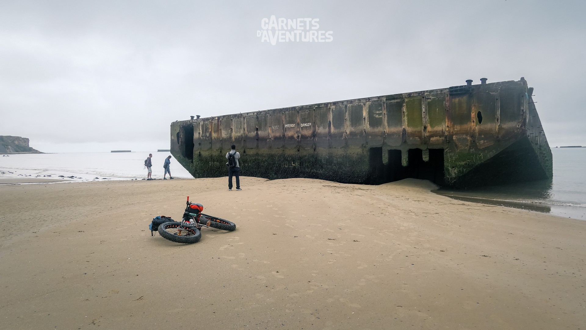
A freedom that was earned through difficulty and turmoil. This stretch of the Calvados coast is home to the largest concentration of souvenirs from the Normandy landings, and a reminder of the tragic loss of thousands of lives...
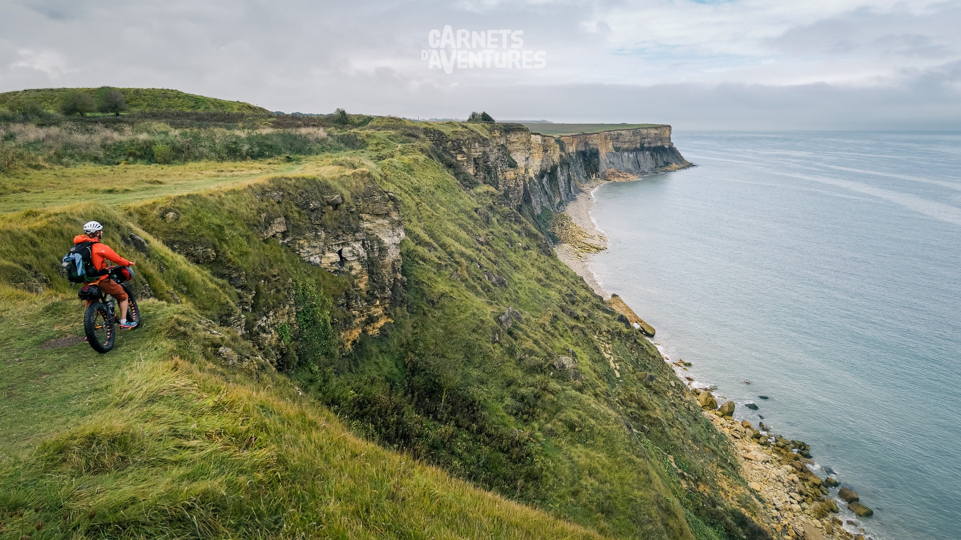
Cliffs appear near Arromanches, making it impossible to continue along the shoreline at high tide.
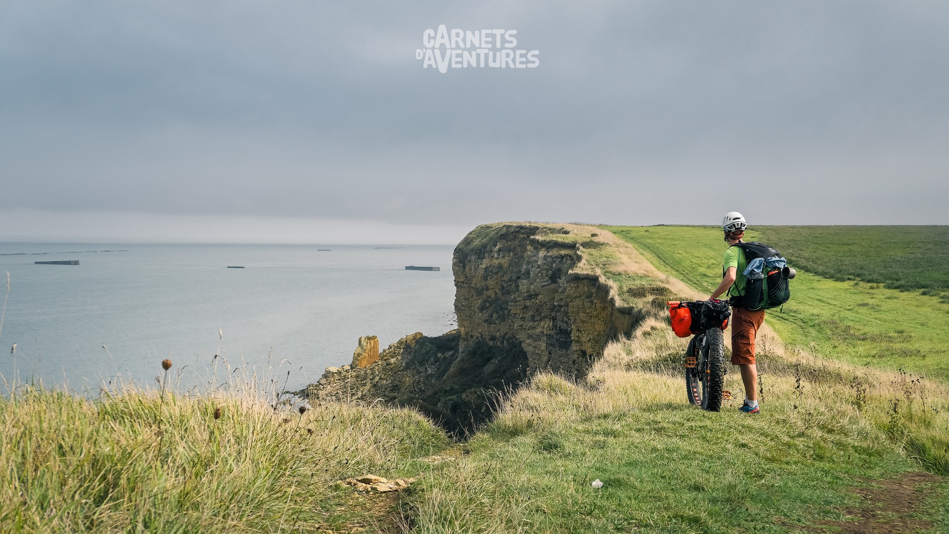
The limestone cliffs crumble away over time, eaten away by the sea and the wind. The Cap Manvieux has receded 40 metres in the last 200 years!
I meet up with Laurent in Omaha Beach: we met online when I looked up "fatbike normandy" on a well known search engine. He knows the Normandy coast like the back of his hand, and offered me plenty of tips before the start of my trip. Great to meet up "IRL" at last.
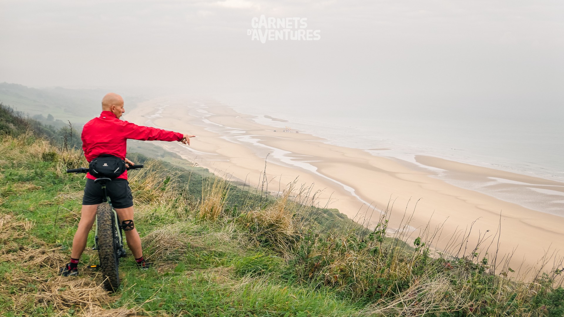
Laurent takes me on a visit of the forest behind Omaha. Stark change of atmosphere.
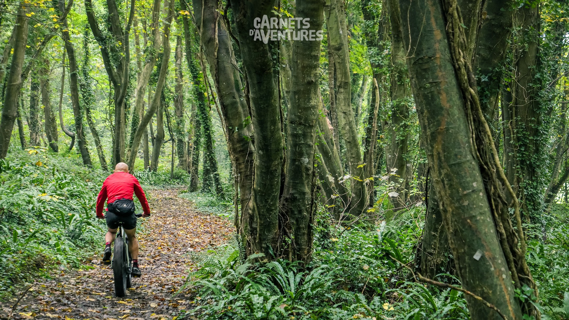
The weather hasn't been favorable for paragliding since the begin of the trip. And it stays that way for the following days. So I continue pedaling steadily onwards in order to join the "departement" of the Manche. Unfortunately I wasn't able to fly in the Calvados, but fingers crossed for the next few days!
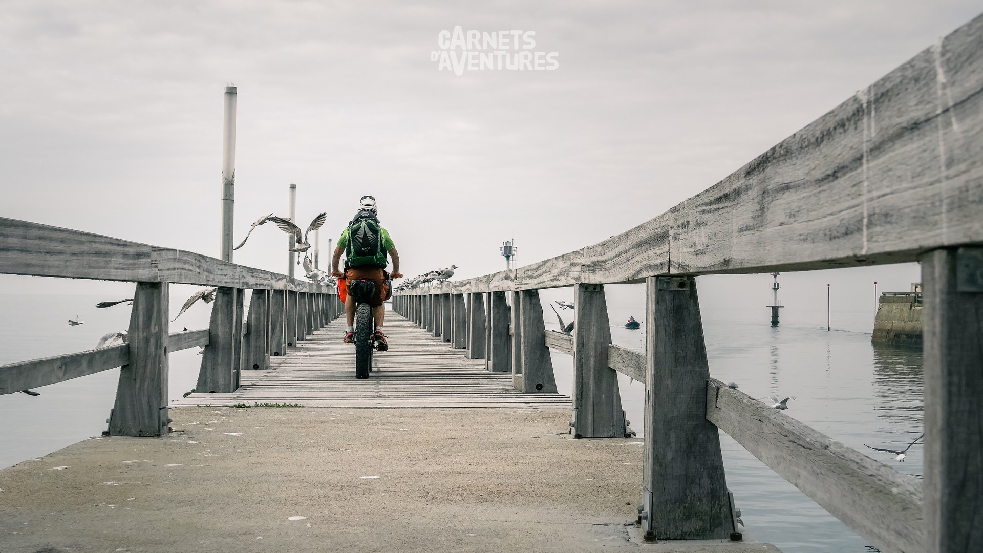
A long detour around the Vire estuary is necessary to join the French capital of "Crème Fraîche", Isigny-sur-Mer.
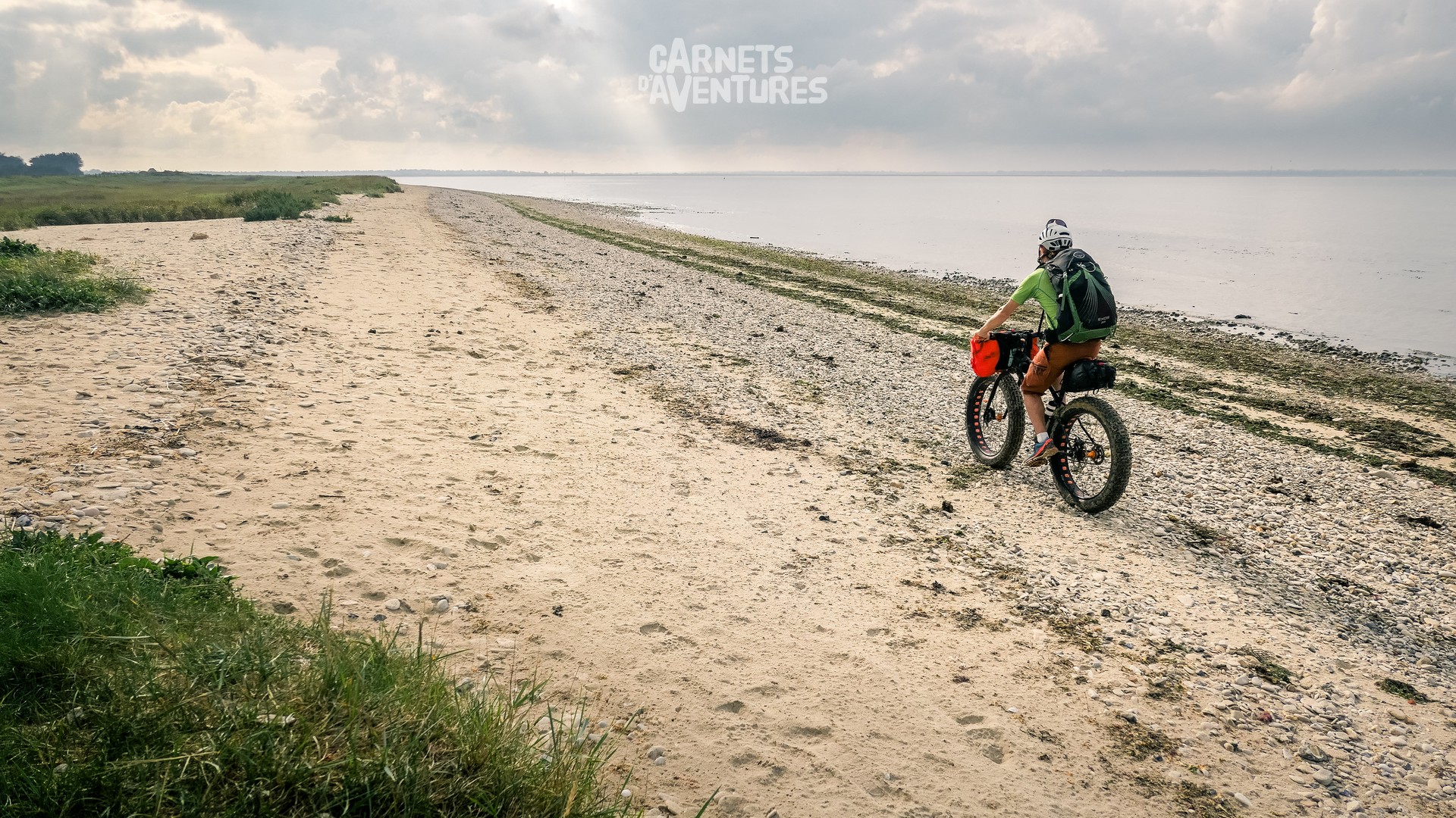
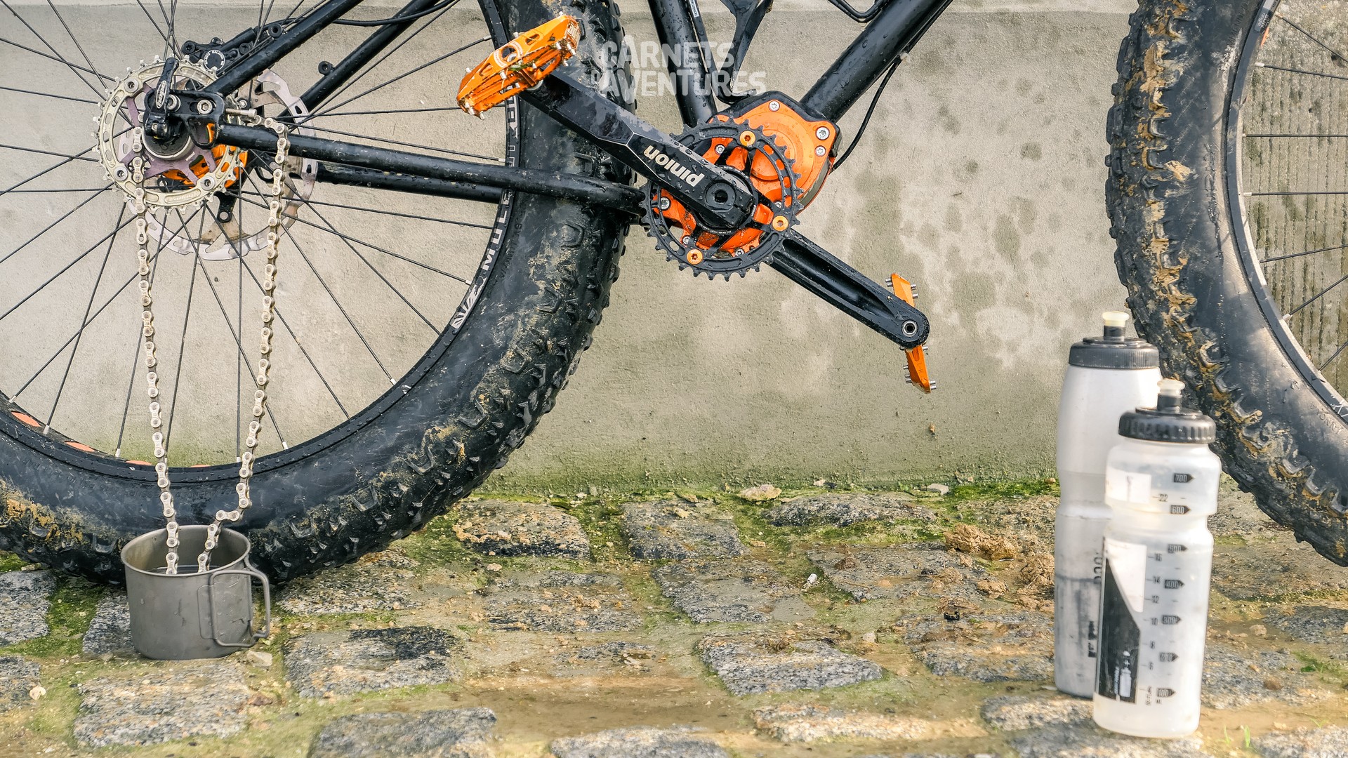
Sand and mud: not a good mix for bike drivetrains! The Pinion gearbox is perfect for the conditions, I just need to keep the chain clean.
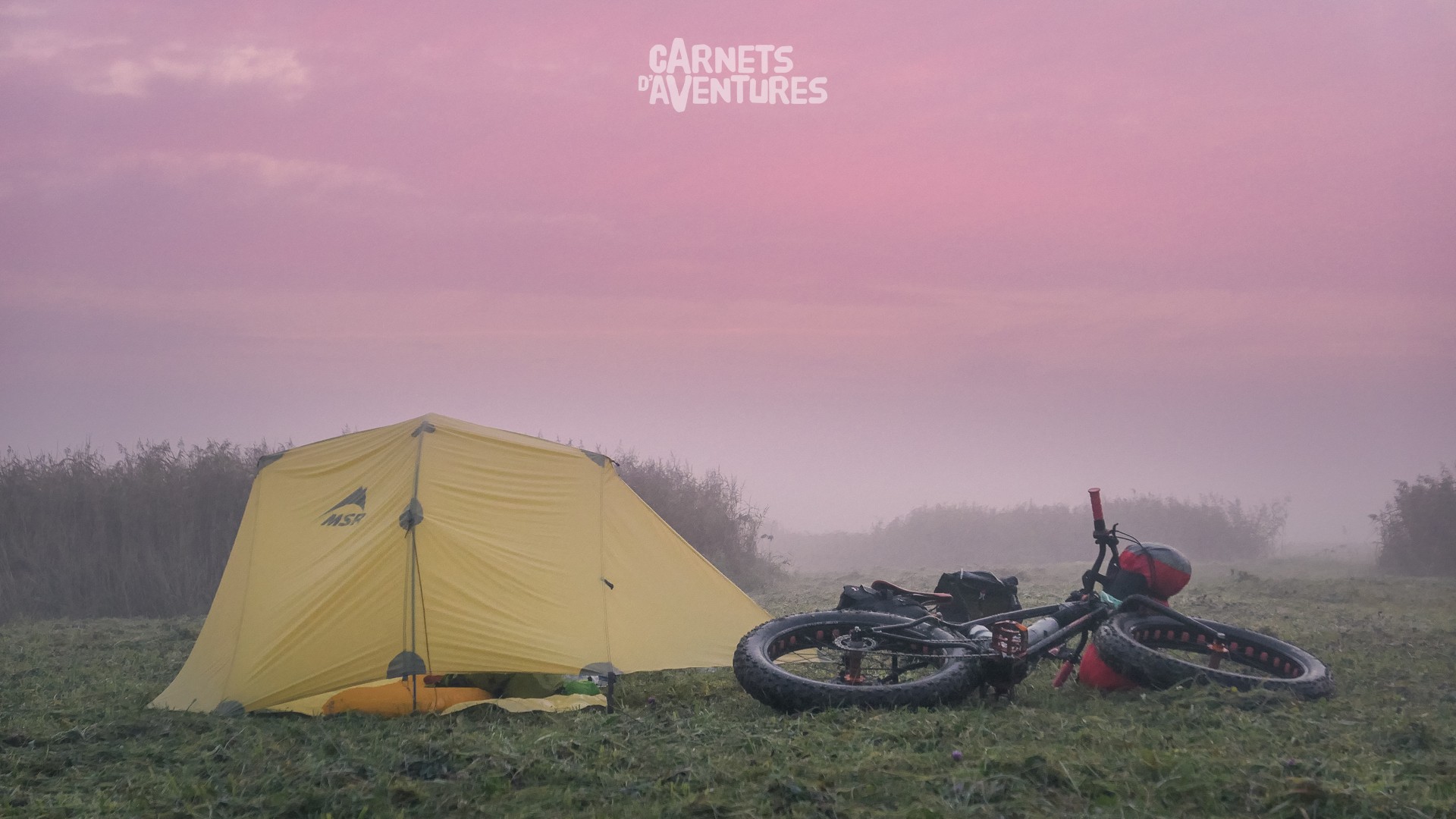
Damp and misty conditions on the edge of the Beauguillot nature reserve. Crossing into the Manche department, it's time for a change of direction as I head towards the Pointe du Cotentin.
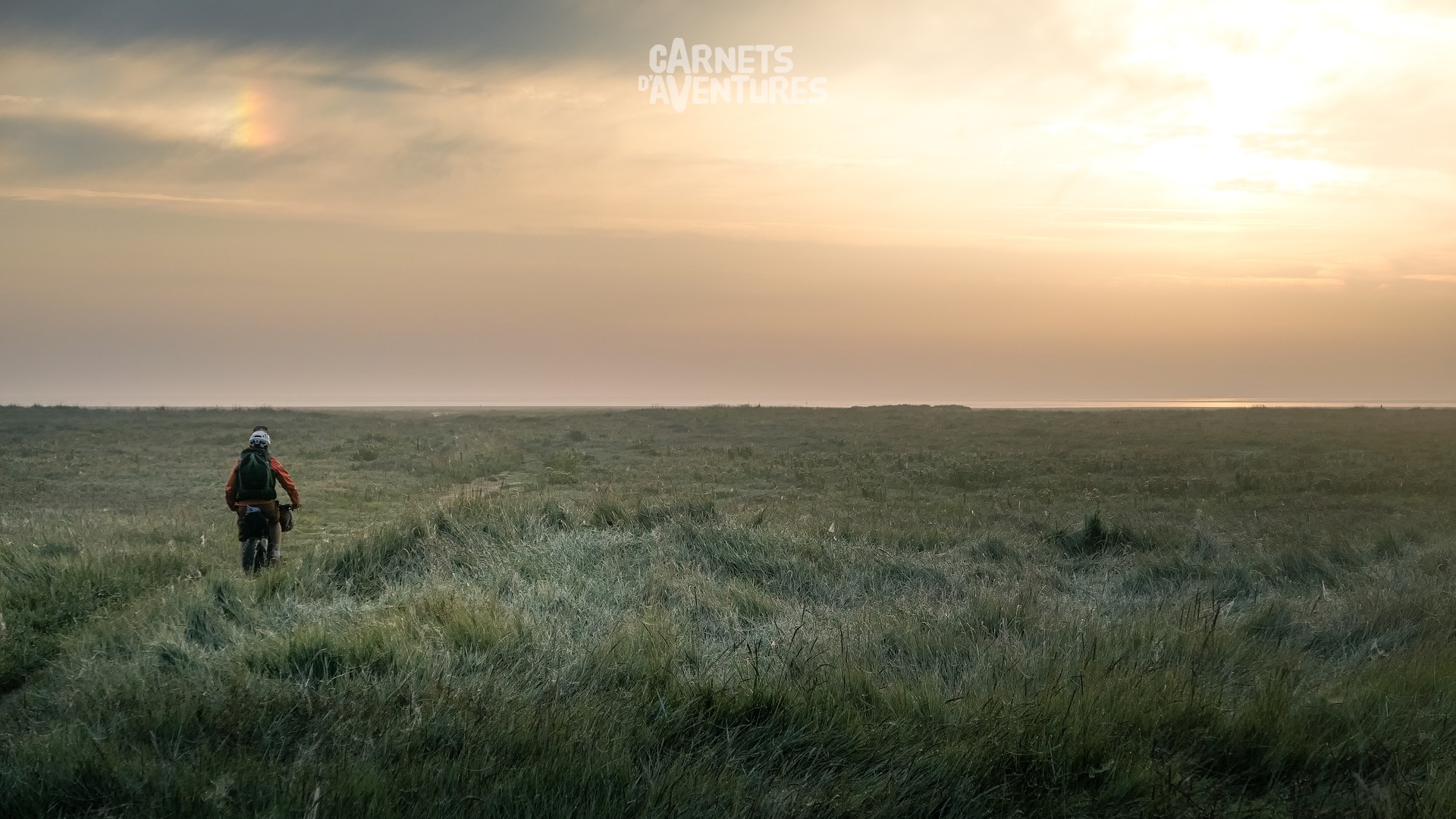
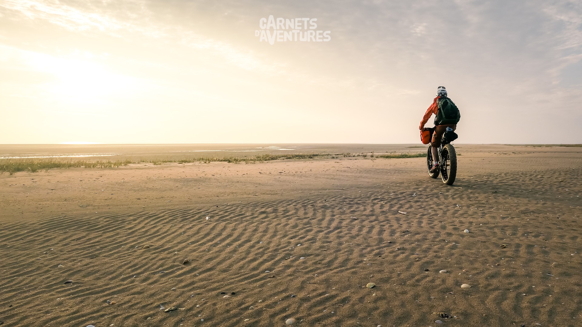
The tidal flats are huge at low tide, offering a tranquil route to Utah Beach. It feels like I'm crossing an entire desert! I keep a close eye on my watch so as not to get caught out by the tide.
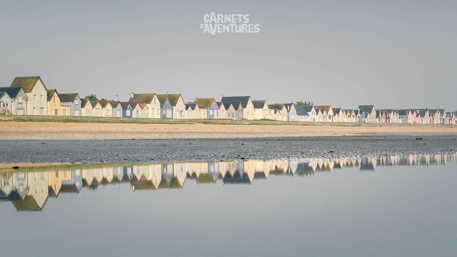
The Ravenoville beach huts are a famous landmark on the Normandy coastline.
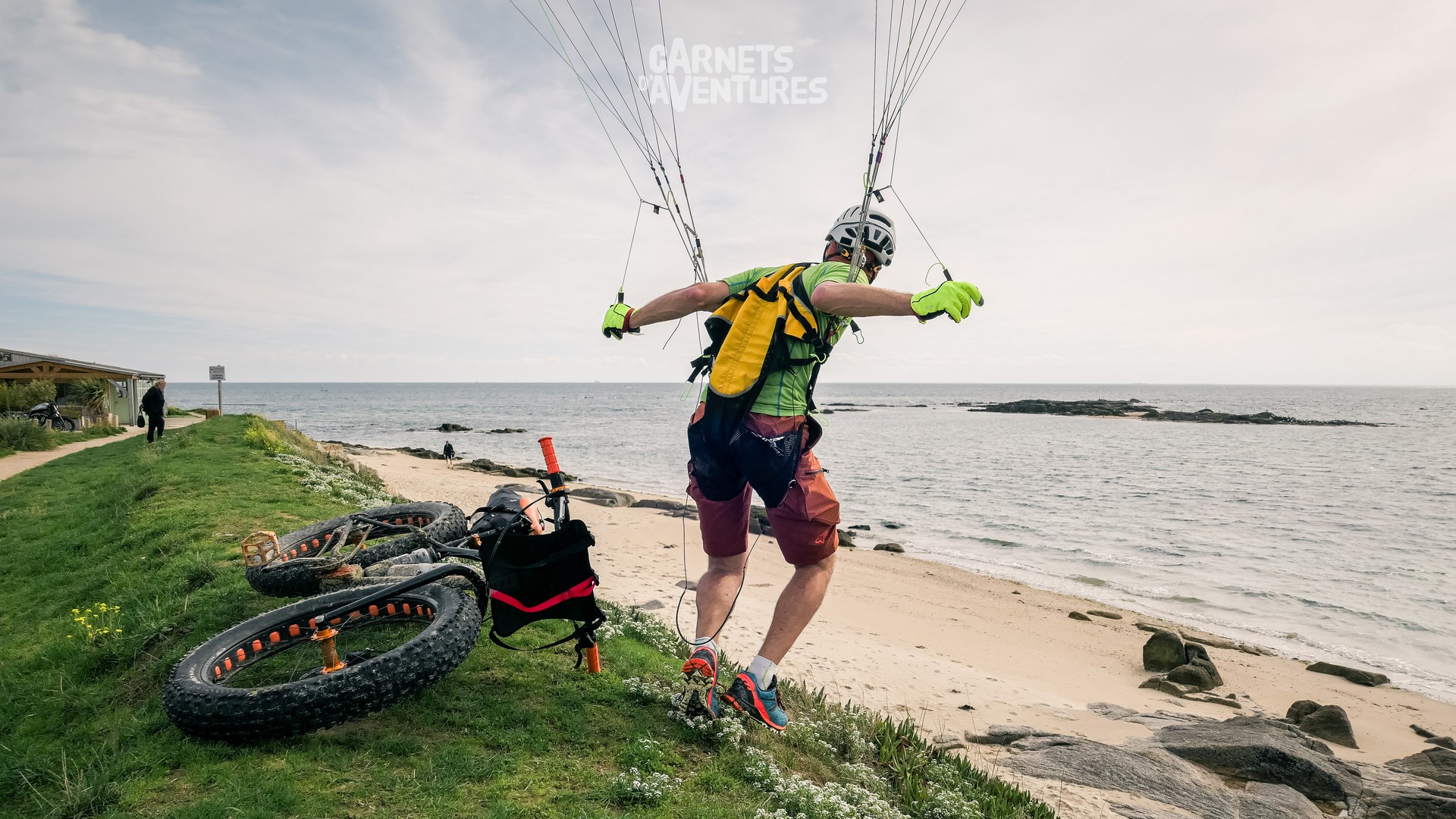
At last! I finally get my paraglider out at the Pointe de Saire. There's just enough breeze for some mini flights, under the watchful eye of some curious bystanders.
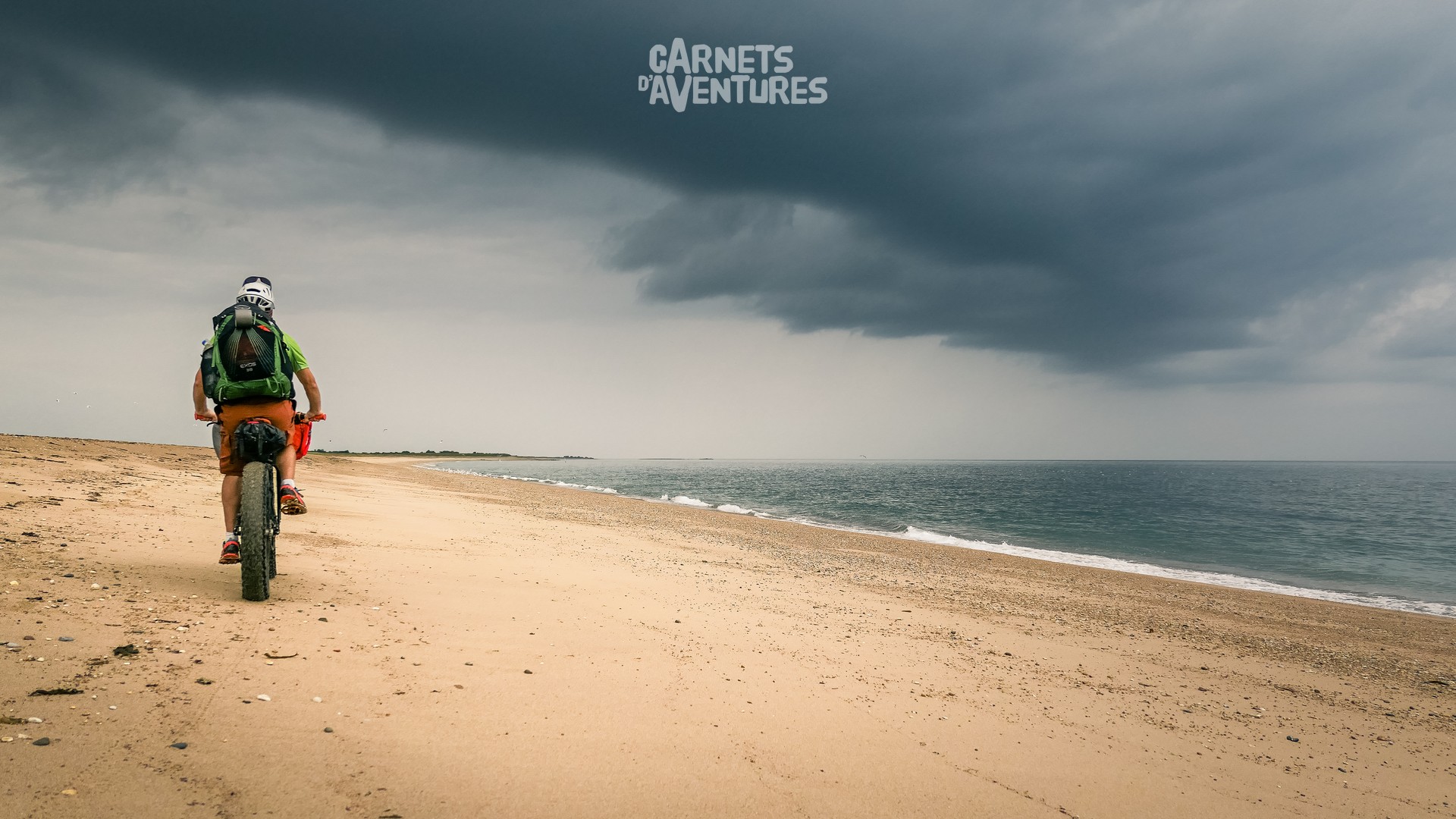
The term "mixed weather forecast" takes on another meaning in Normandy. Bright sunshine turns to heavy showers and back again, all in the space of an hour...
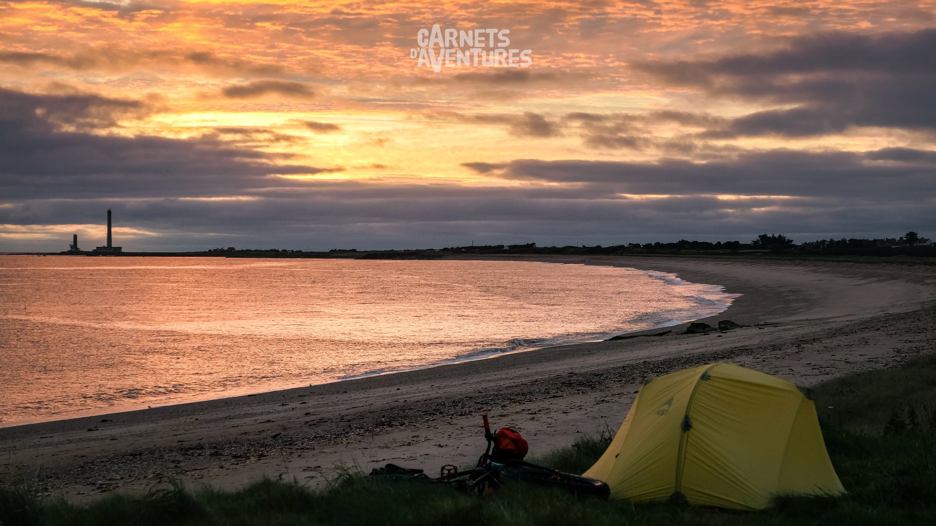
Lighthouses and semaphores are my new gauges of progression each day. Long, open beaches give way to the jagged coastline of the north Cotentin.
The decor changes as sandy beaches are replaced by rocks and hortensias. I quickly cross Cherbourg to reach the Anse de Vauville on the western coast of the peninsula. I should be able to fly there this afternoon.
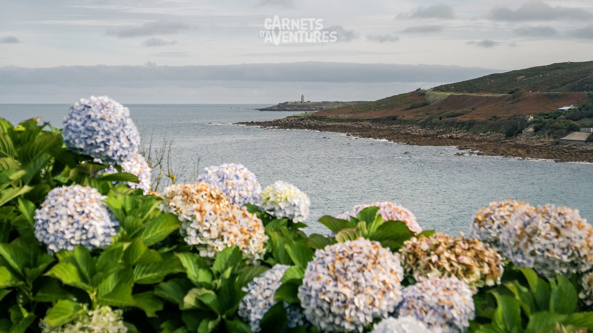
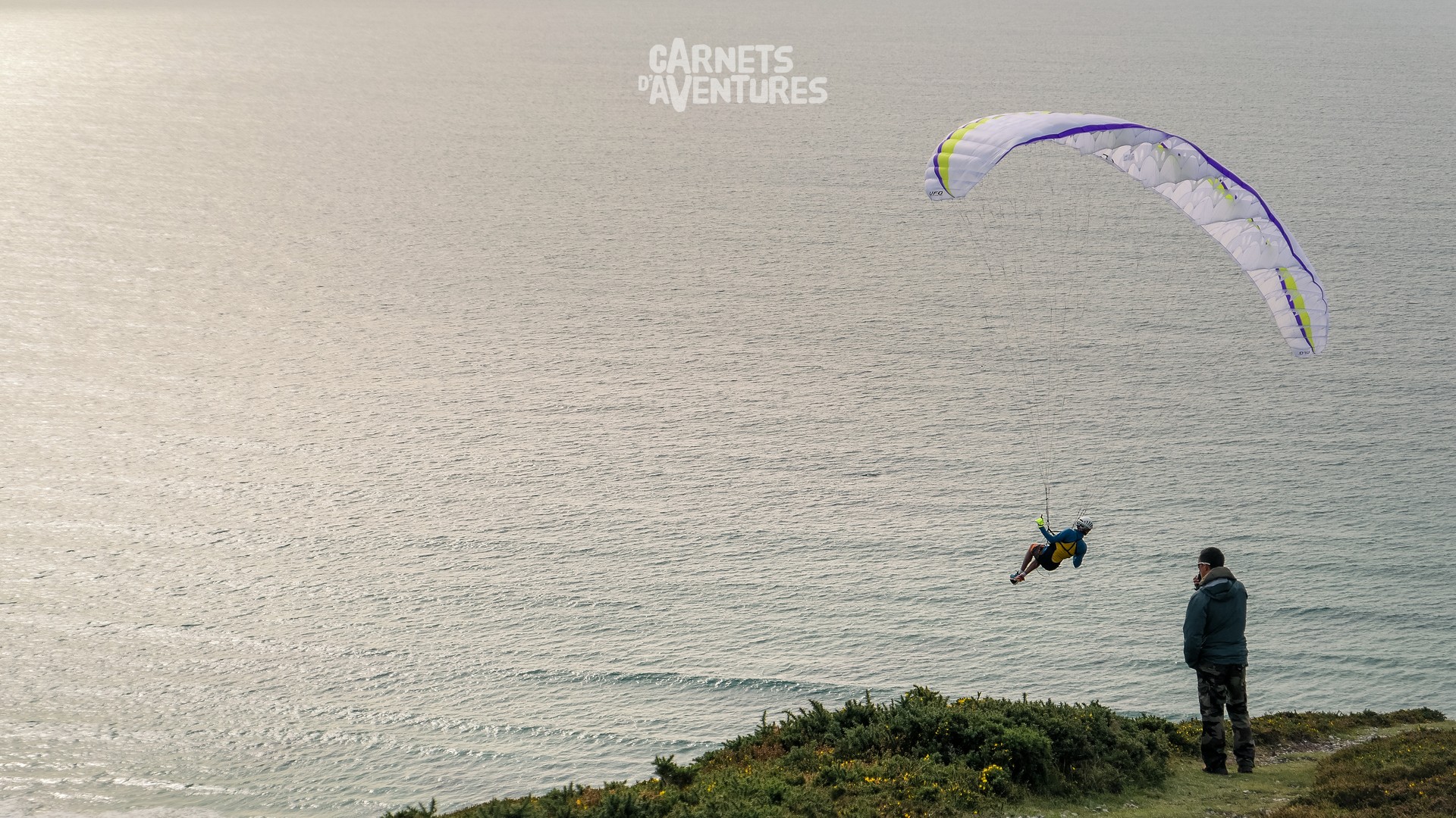
I'm in luck! What a great feeling to be able to park the bike, set up my sail, and fly from the same spot...
The weather takes a turn for the worse the following day. I retrace my steps to the nearest village in order to warm up and dry off.
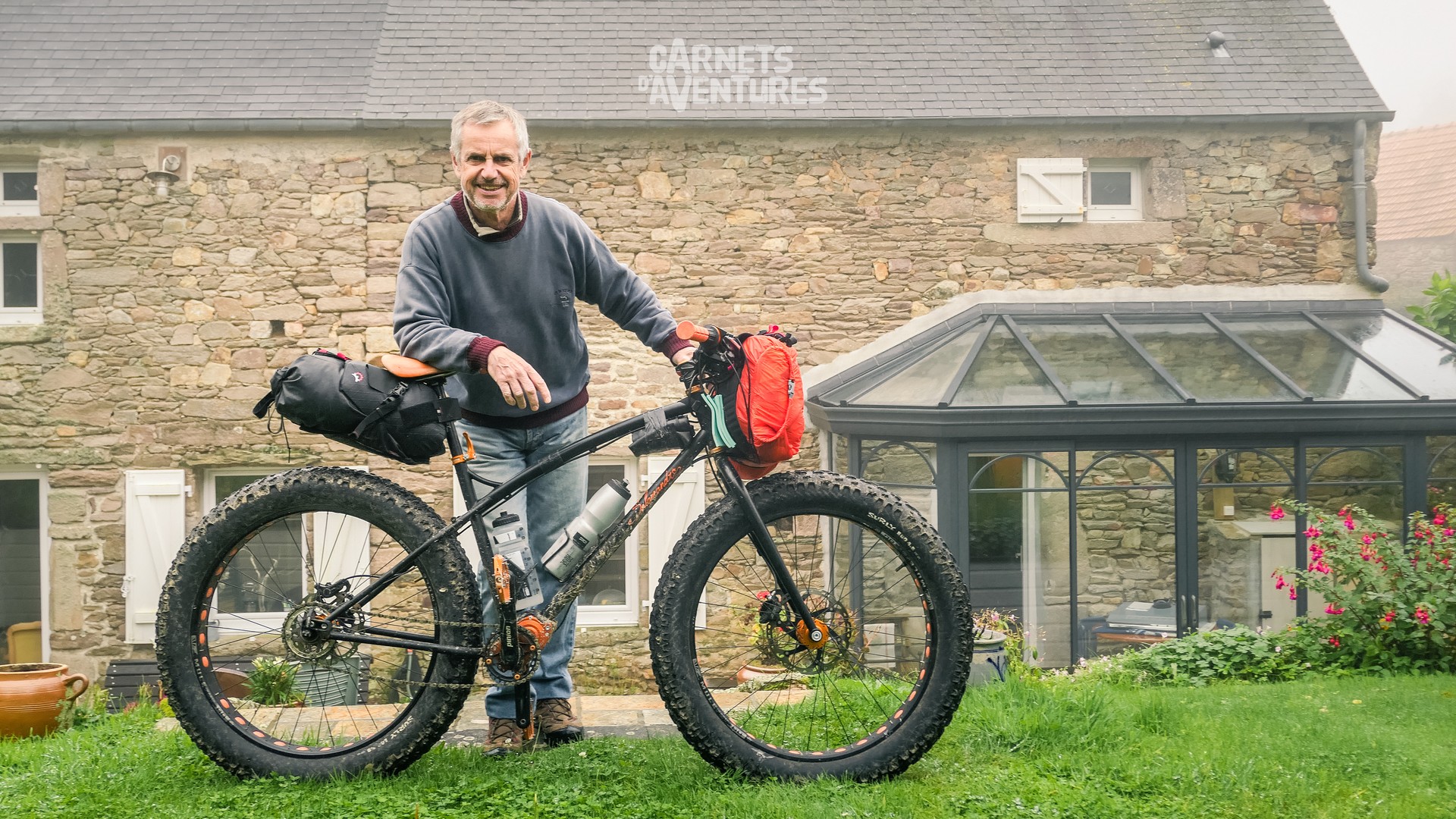
As luck would have it, I meet André at the bar in Beaumont-Hague. He's a fellow bike enthusiast and offers to put me up for a few days.
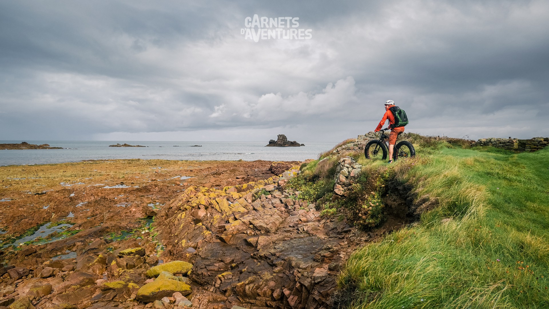
I take the opportunity to discover the Pointe du Cotentin without all my luggage.
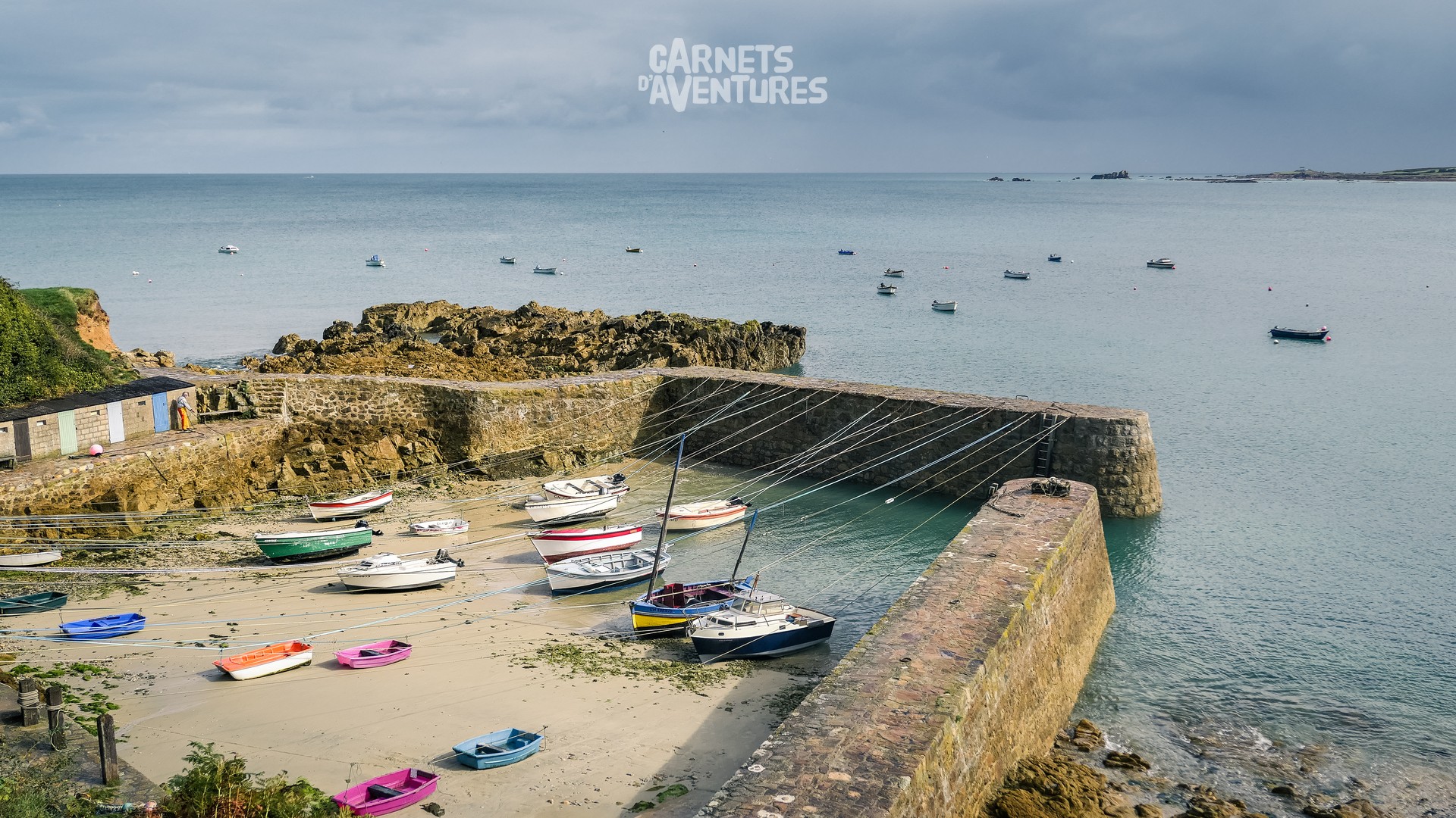
Port Racine, nicknamed "smallest port in France". Boats are moored up using hawsers.
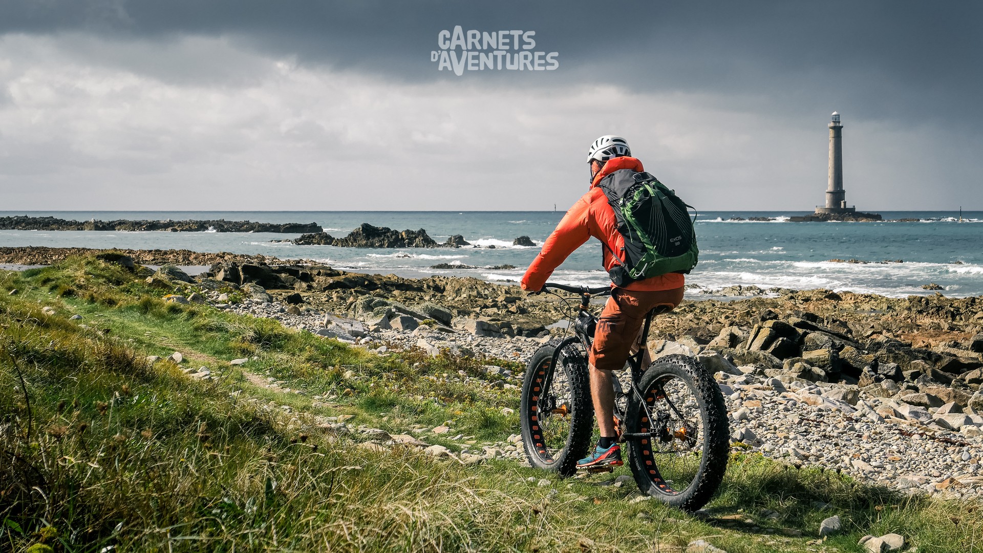
The Phare de Goury under a typically Norman sky of sunshine and rain. In the background is the Raz Blanchard passage, one of the strongest tidal currents in Europe.
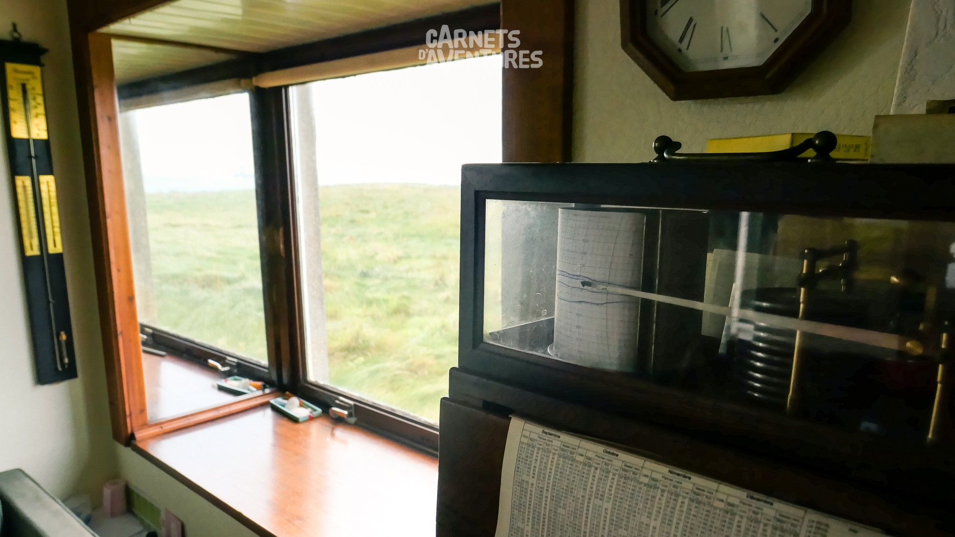
André introduces me to one of his friends who lives opposite the lighthouse, offering superb views of the sea and the ever changing weather patterns. The barograph, now in use for over 30 years, records some impressive pressure drops when big storms roll in!
The Baie d’Ecalgrain. The jagged coastline contrasts with the long sandy beaches found in the rest of the department. Wind, waves and ever changing weather patterns: I feel like I'm on the edge of the world.
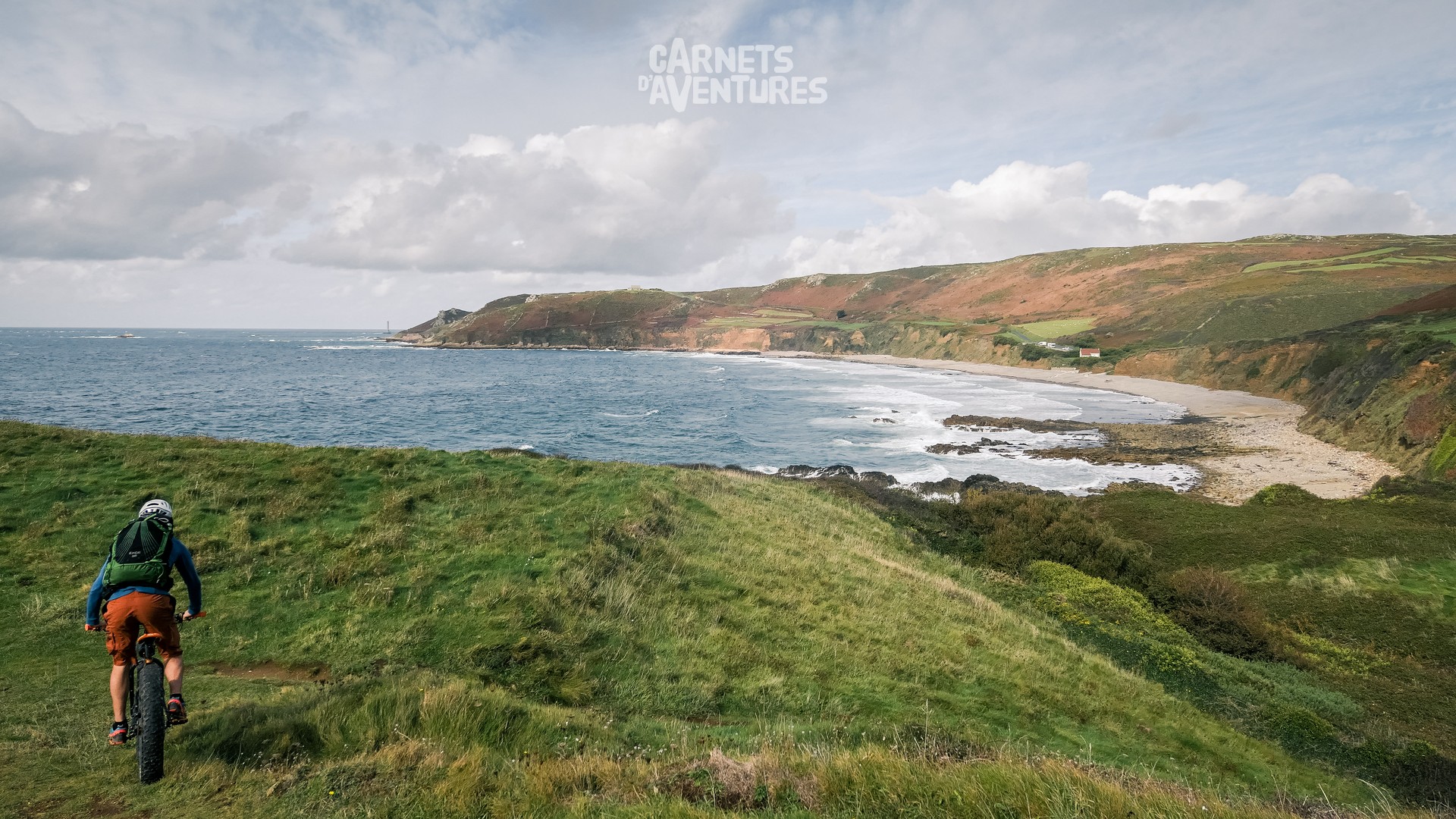
A nose wheelie in front of the Nez (nose) des Voidries (just before the path becomes off limits to bikes!).
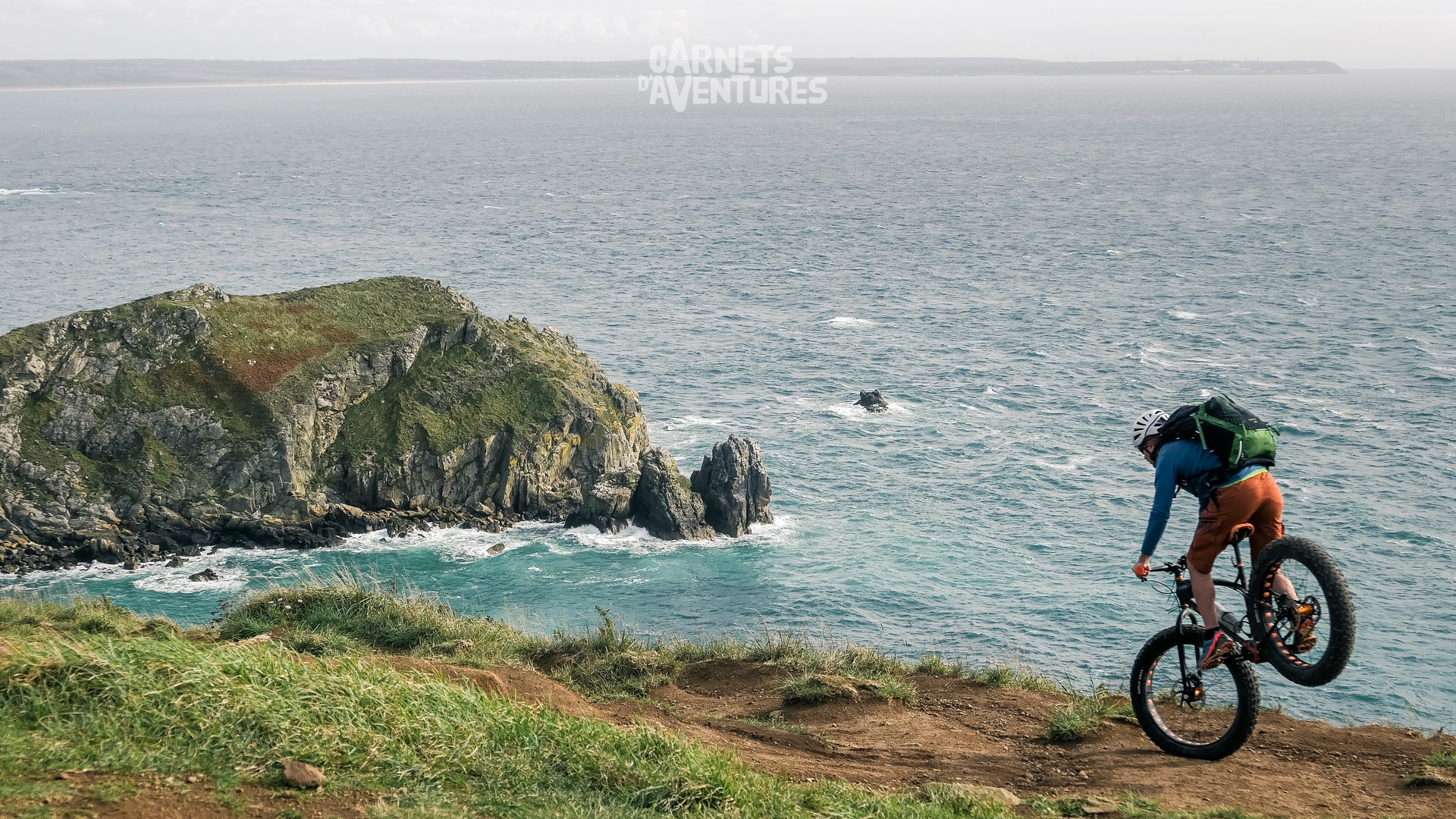
A few days later I head off again, but I don't get far... the conditions are perfect for flying, and the area is full of great places for paragliding.
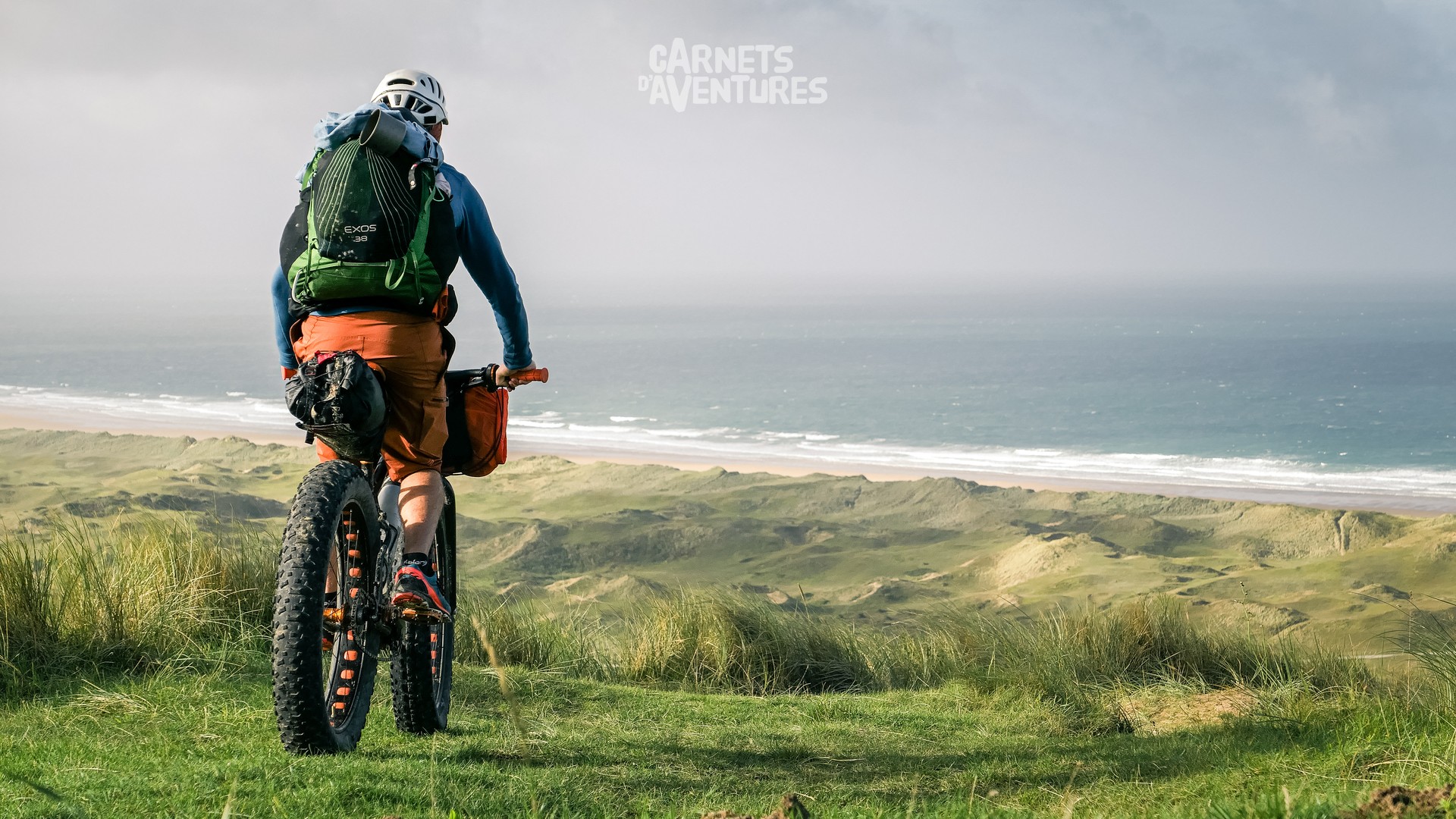
The immense Anse de Biville is over 7 kilometres long.
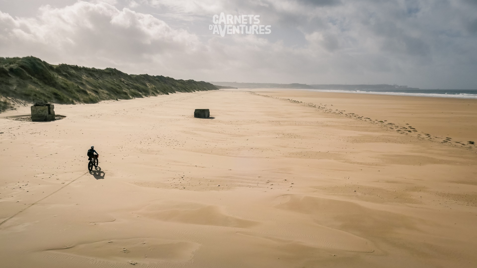
It's a windy day, and I make the most of this huge expanse of sand. With the prospect of flying, and the superb decor, the day passes in the blink of an eye!
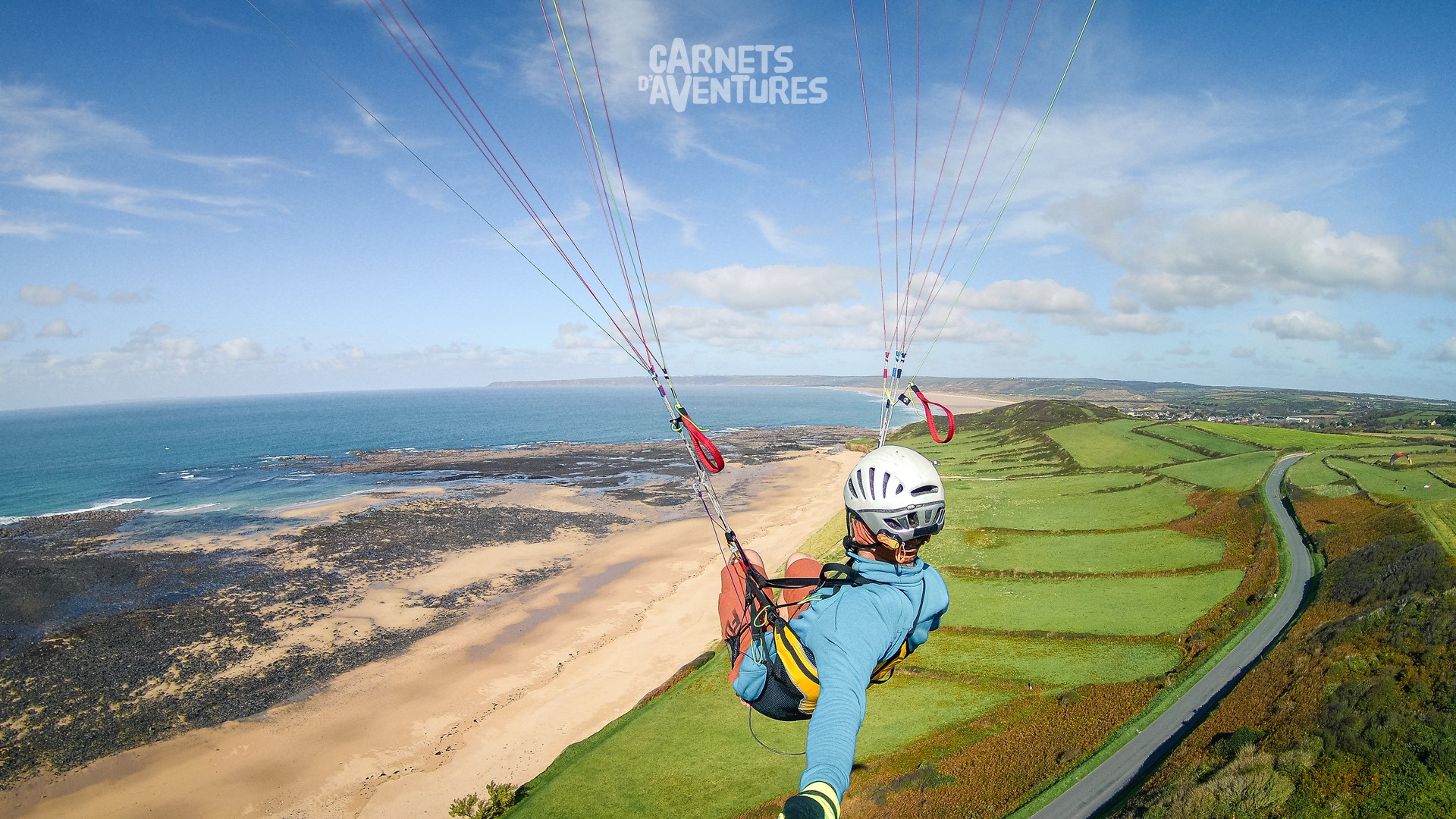
It's time for some great flights, starting with Diélette.
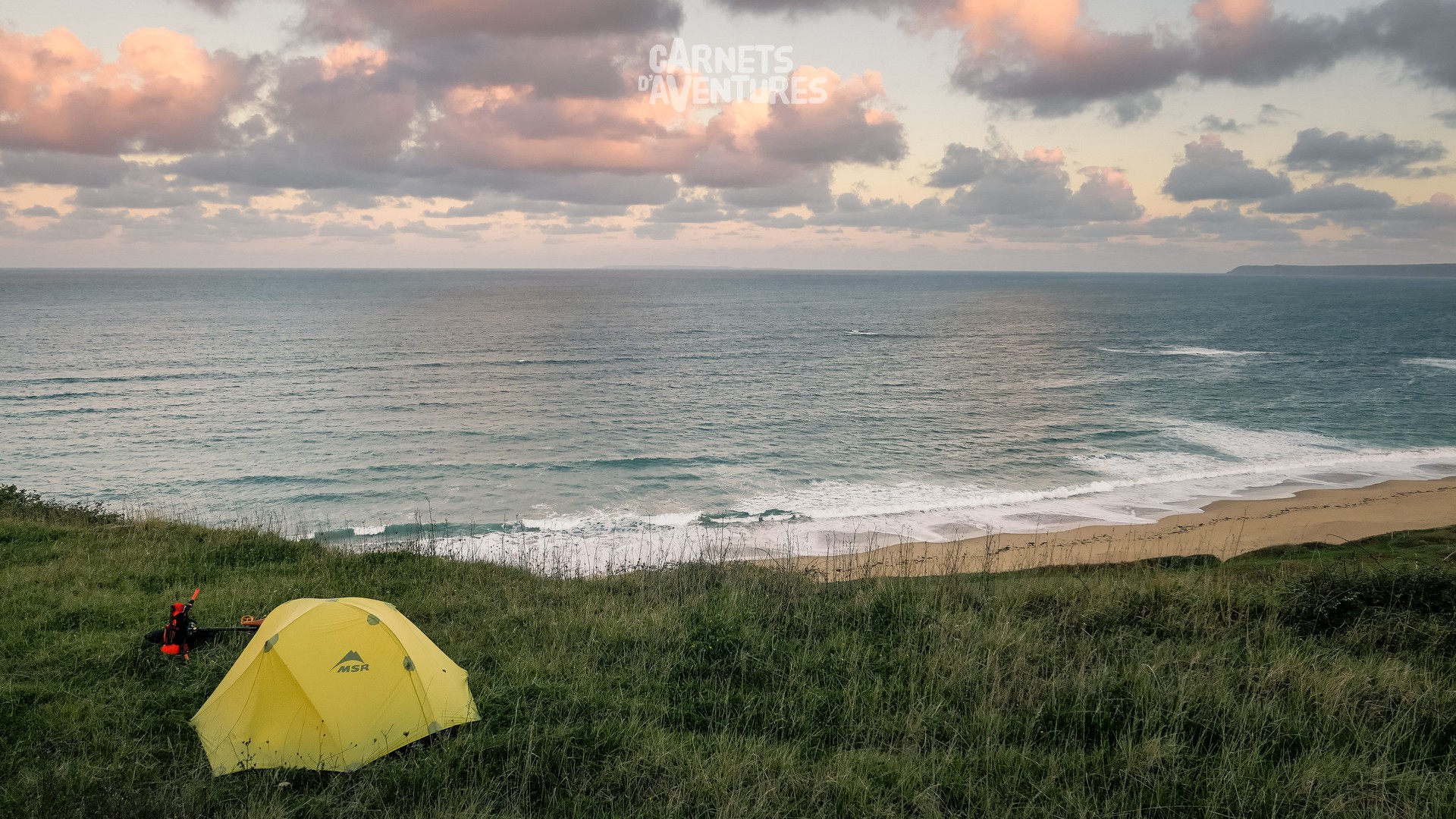
Bivouac near the paragliding spot...
... before retracing my steps the following morning to fly at Ecalgrain.
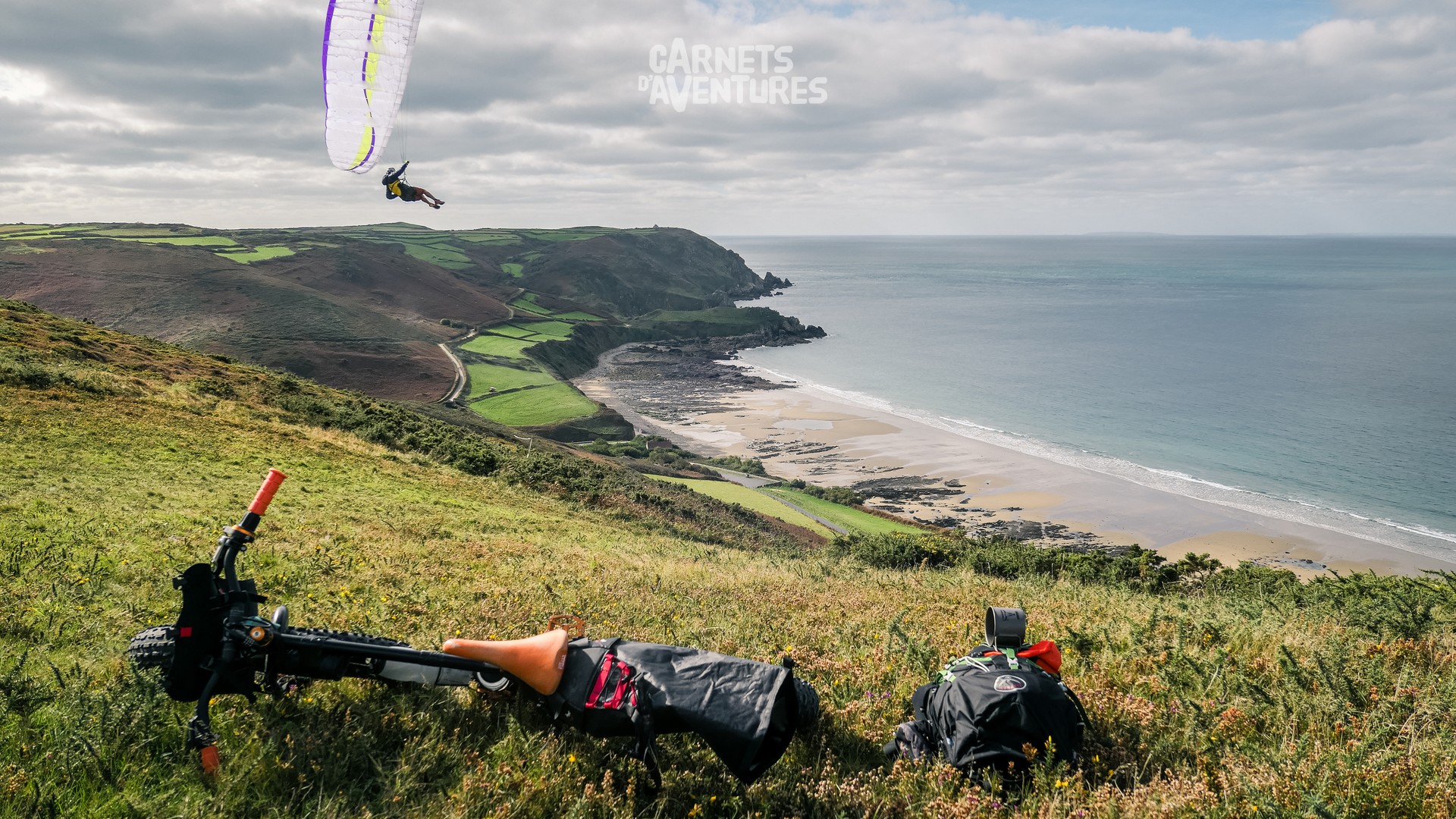
The bay is even more beautiful from above. I even get a visit from André, curious to see the cyclist transform into paraglider.
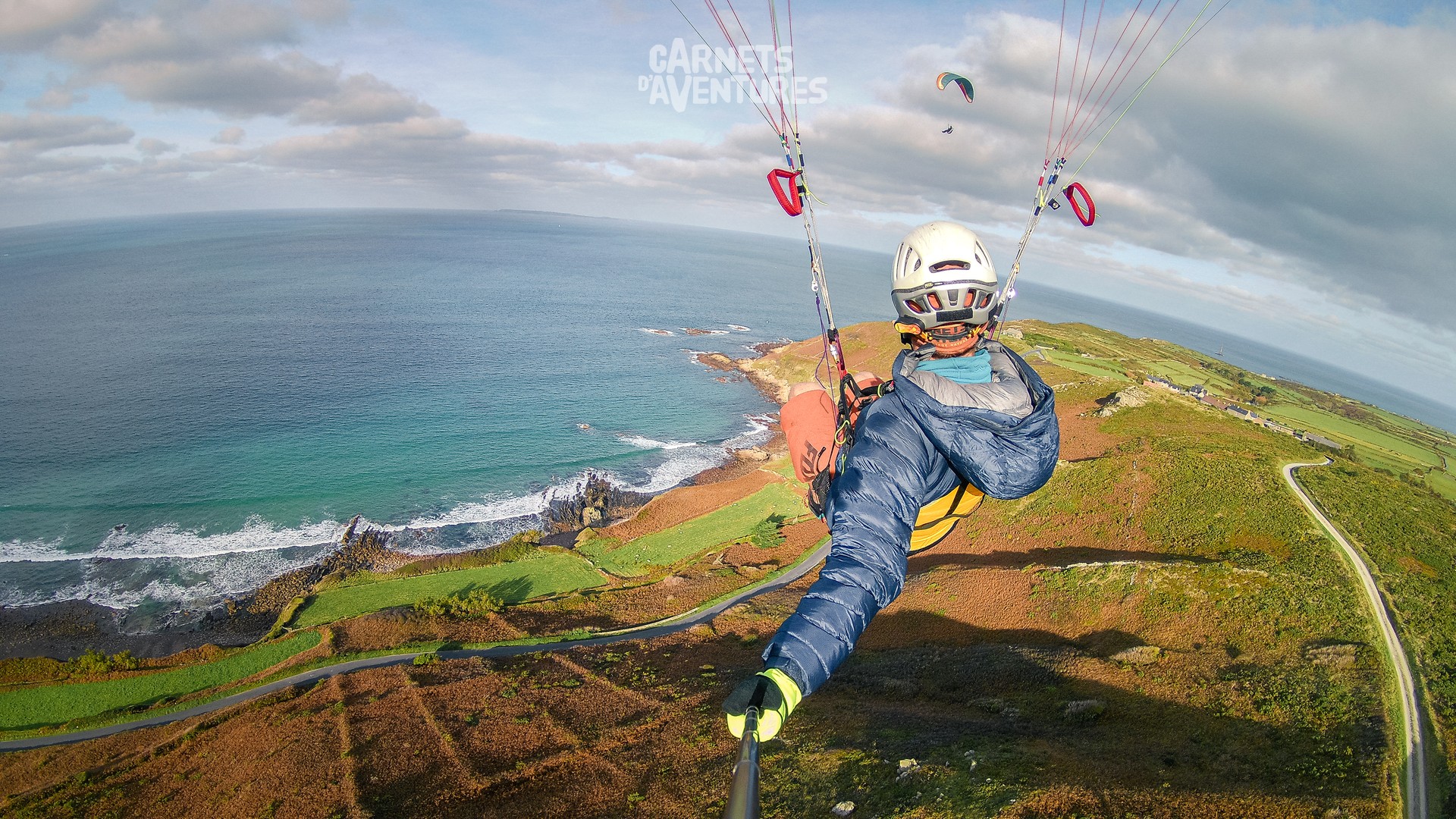
The colours are superb in autumn: green grass, orange bracken and blue sea. Sublime!
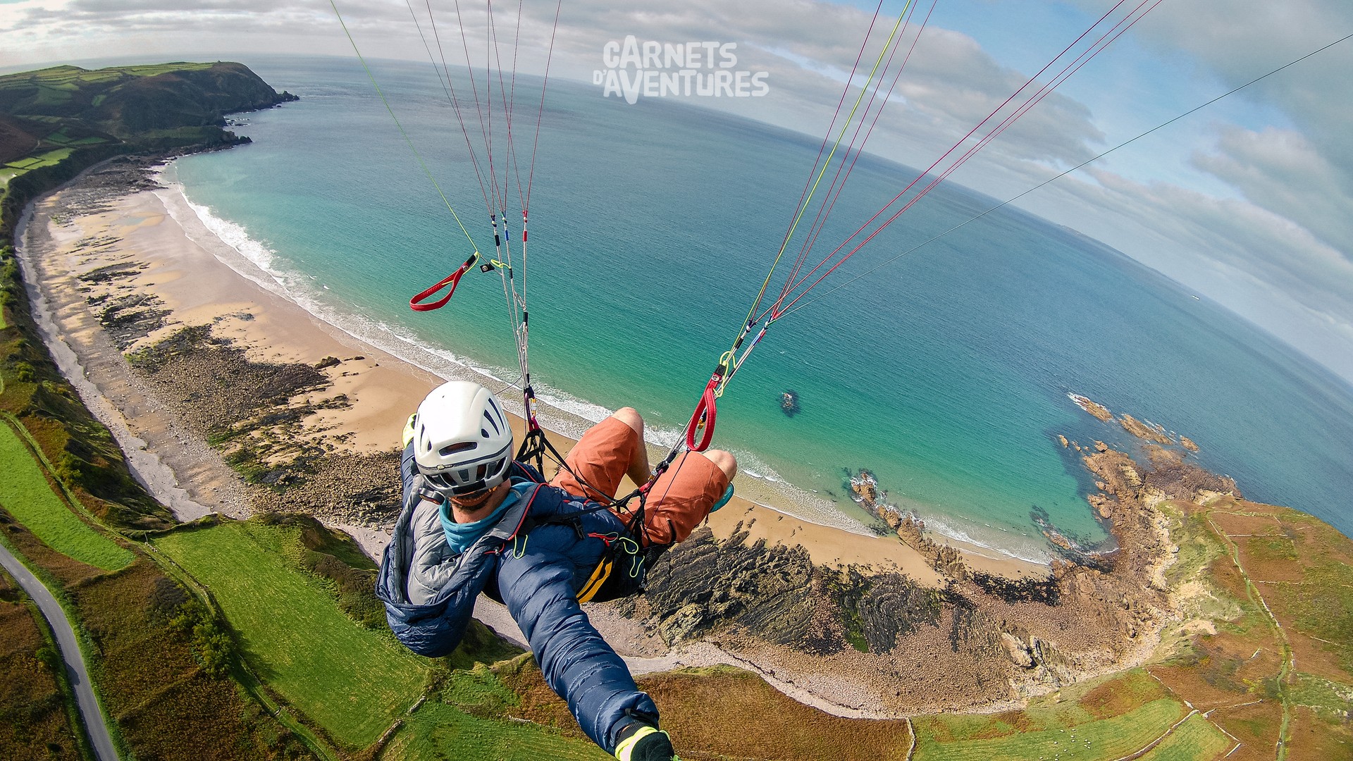
And to top the day off I fly all afternoon at the dunes of Biville. A real treat!
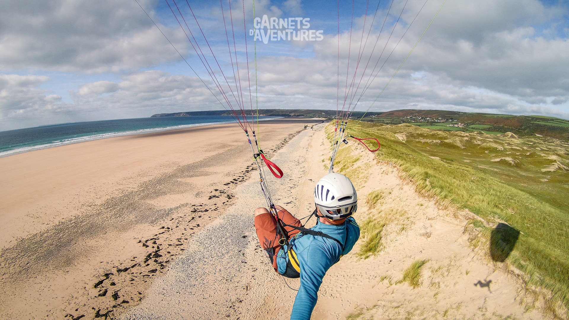
The 7 kilometres of the Anse de Biville, effort free this time.
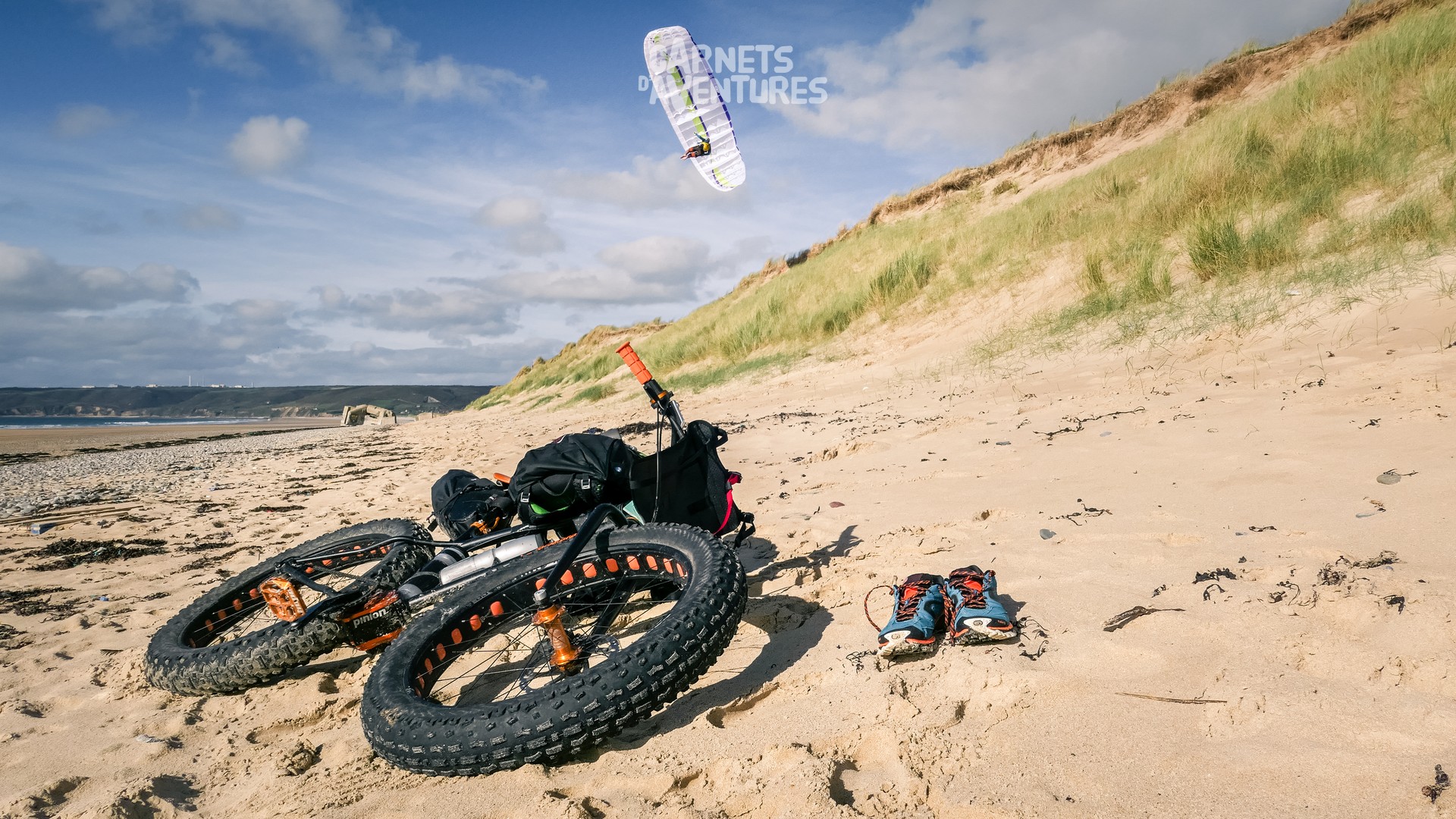
My bike's waiting patiently for me on the ground. The beach is very quiet: a few horses, two paragliders, and some sand yachts. Not what I'm used to!
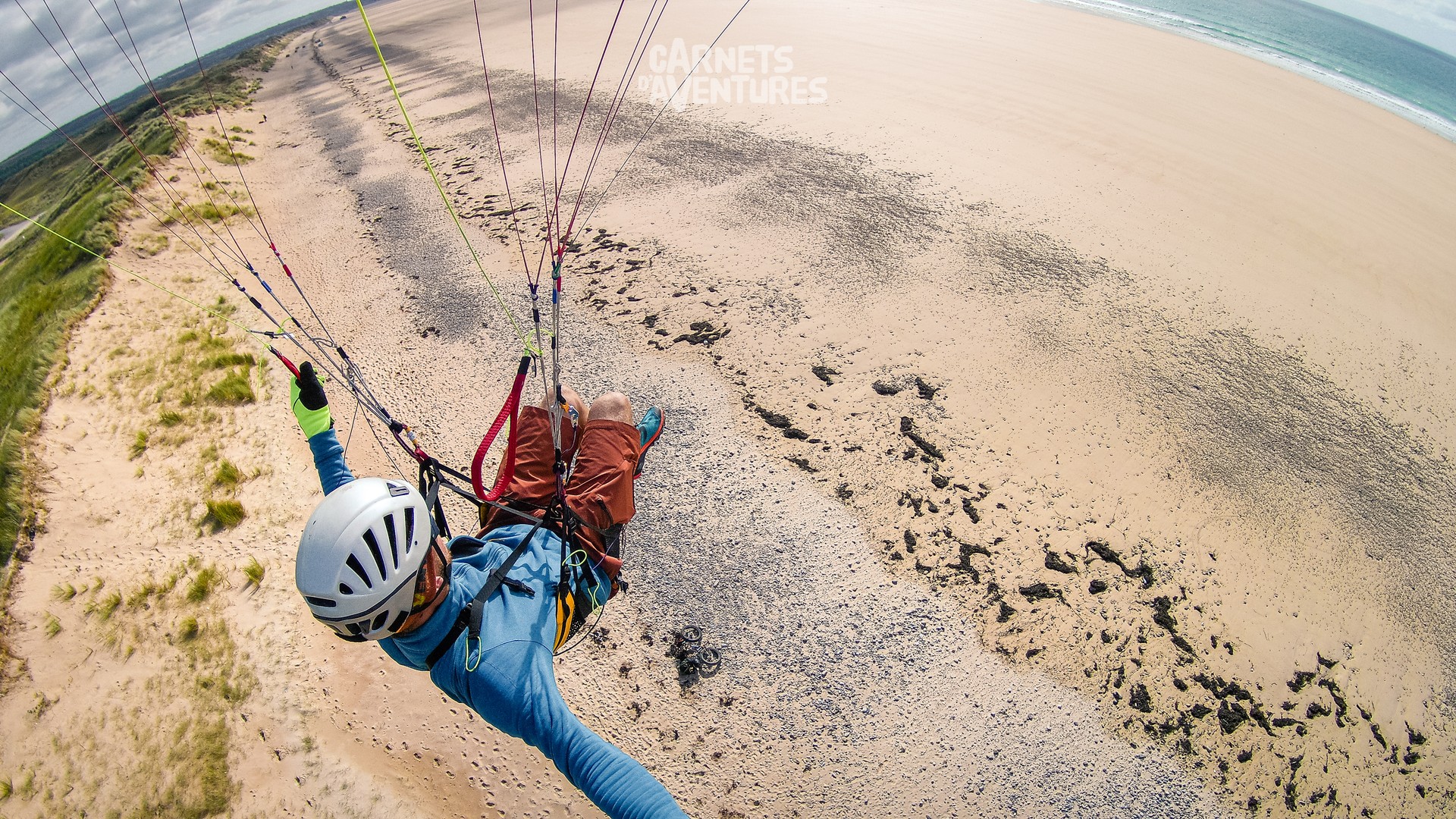
I'm really happy after such a great day! I savour the feeling of having been in the right place at the right time, essential for the bike and paragliding combo.
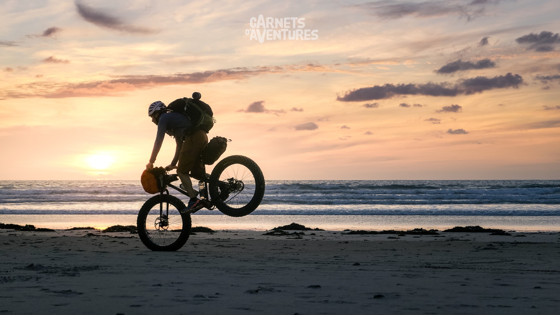
It's time to head south. On the west coast of the Manche, long beaches stretch out one after the other, sand and sea as far as the eye can see.
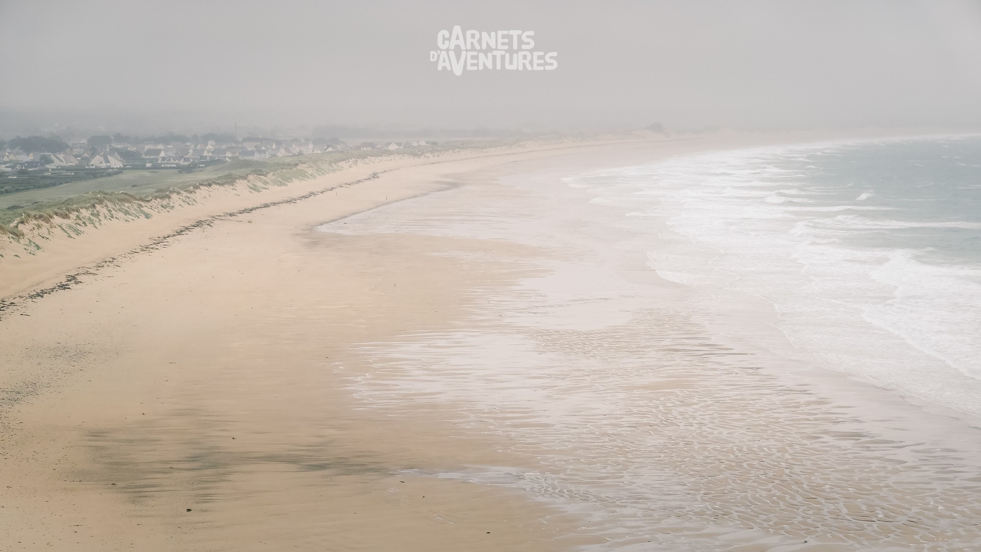
Thanks to the fatbike, progress on the beach is easy, regardless of the tide. With a tail wind behind me, I check the GPS out of curiosity: I'm averaging 25km/h! That's fast on sandy terrain!
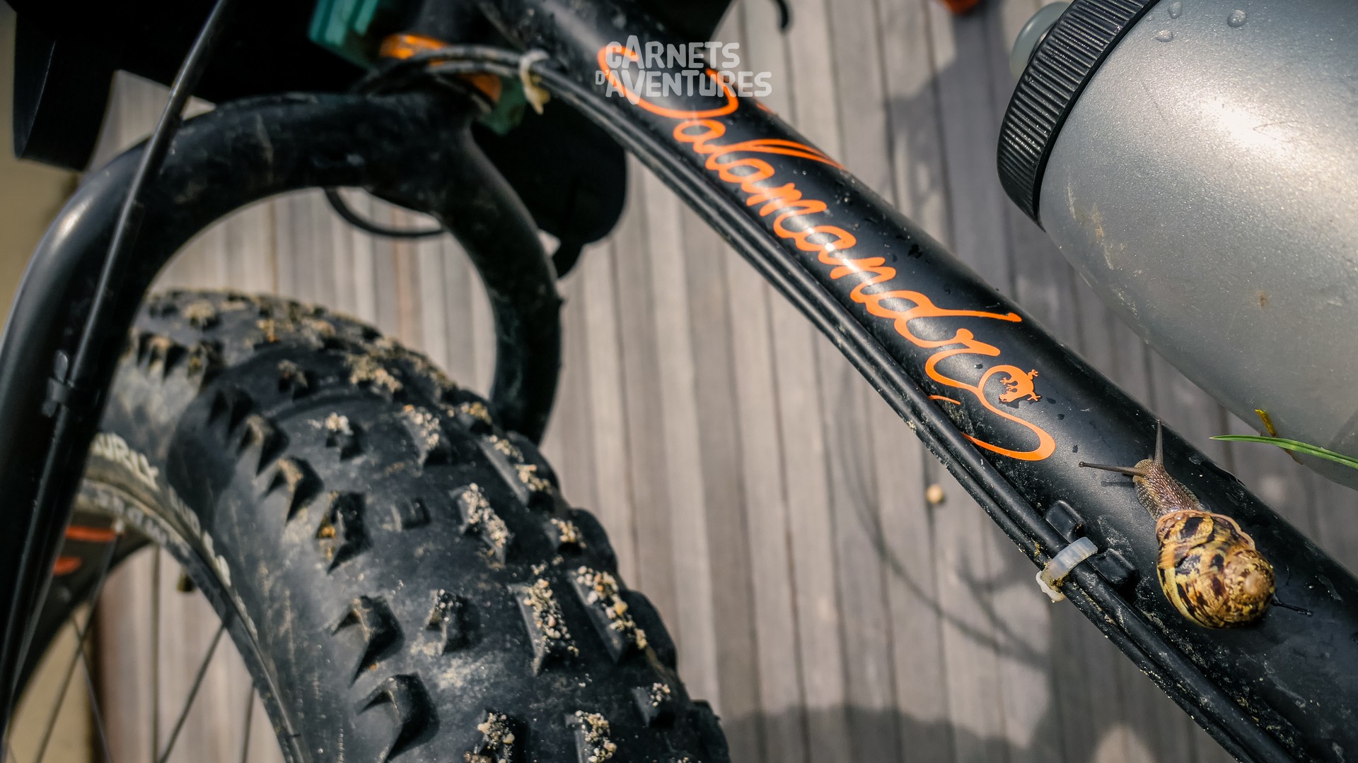
A few scenic detours are necessary in order to avoid the numerous harbours. There are 8 altogether between the Cap de Carteret and Granville, and each time I have to leave the beach and head inland to circumvent the inlet.
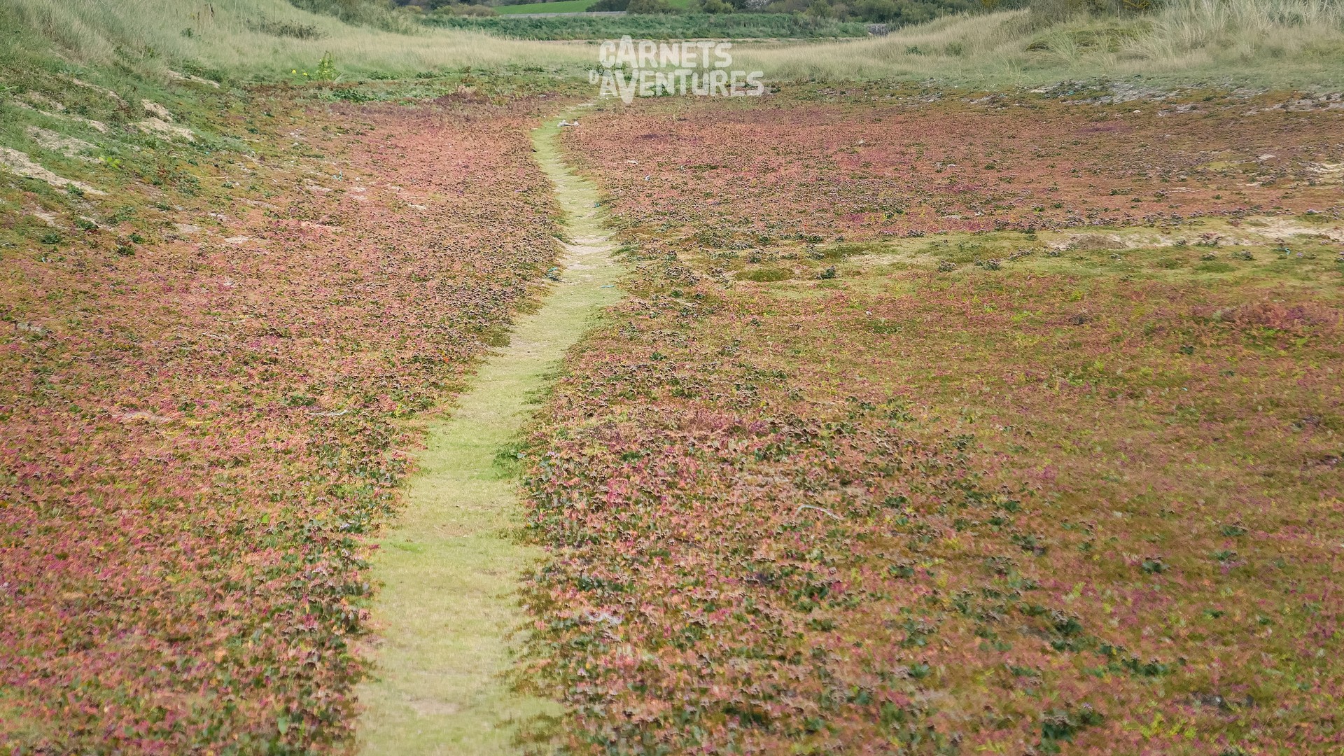
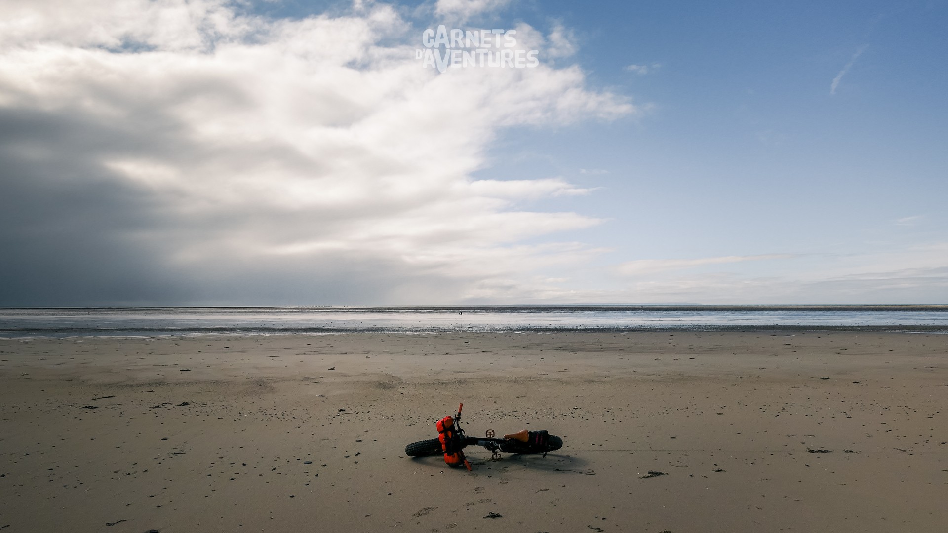
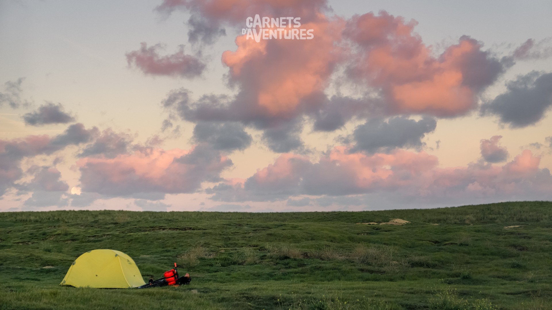
Perfect timing! I arrive close to Granville at the start of an ideal day for flying.
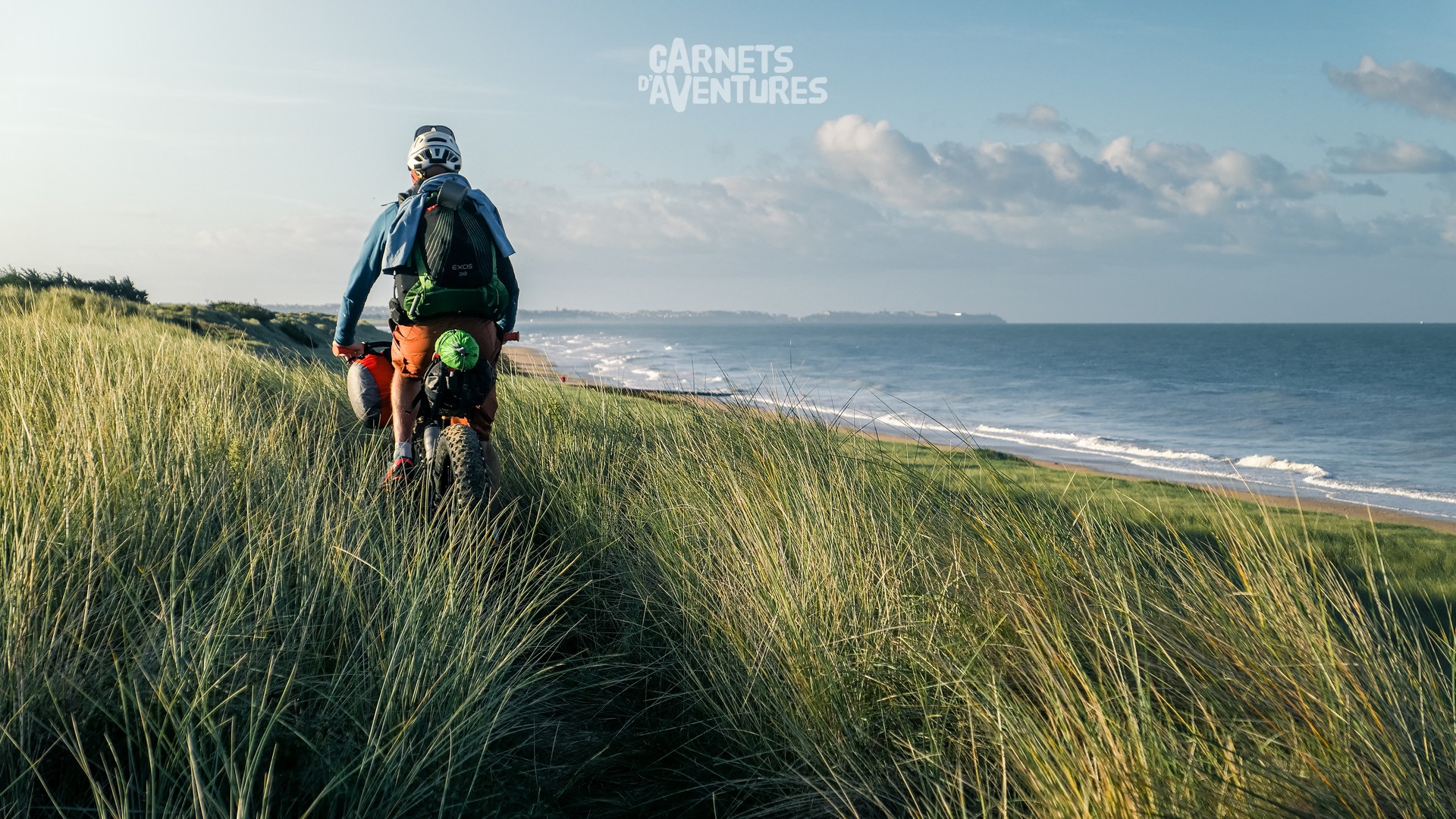
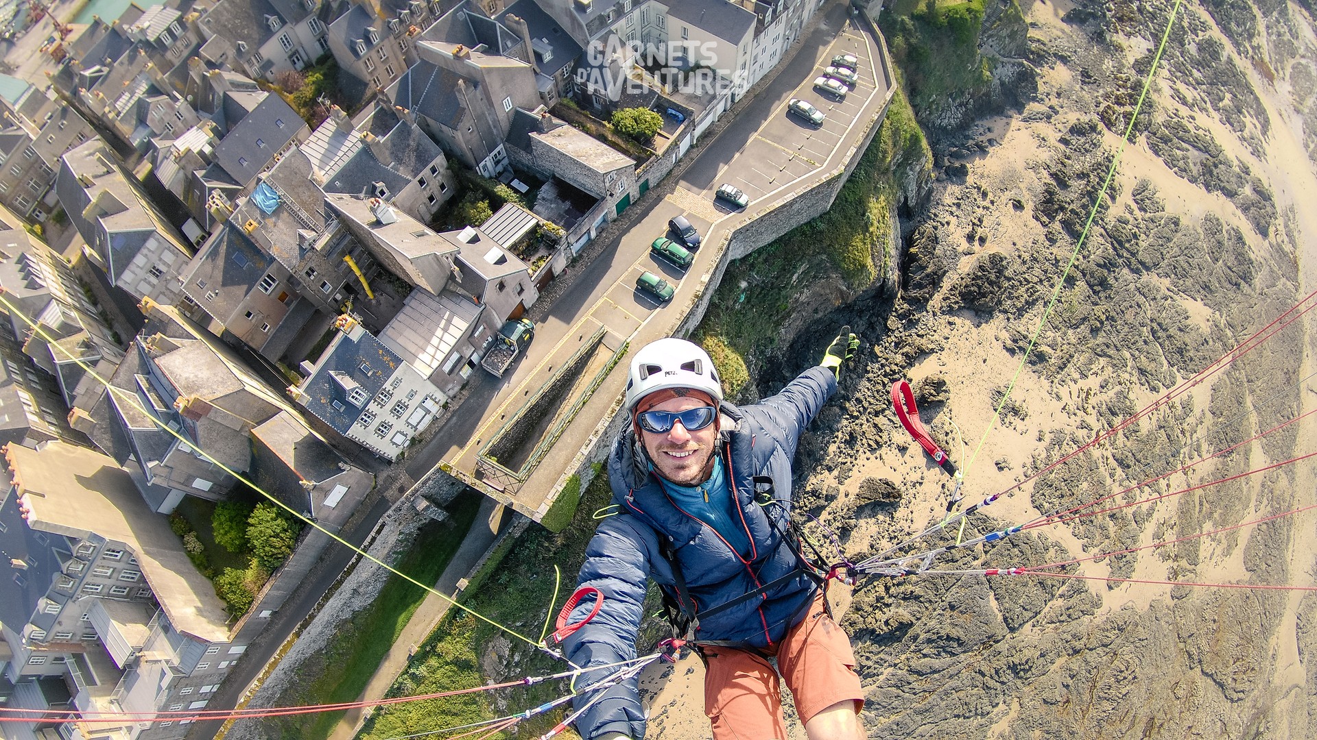
Granville! The decor isn't as natural as the Pointe du Cotentin, but it's no less brethtaking! I make several out and back journeys between the old town on the waterfront and the Pointe du Roc lighthouse.
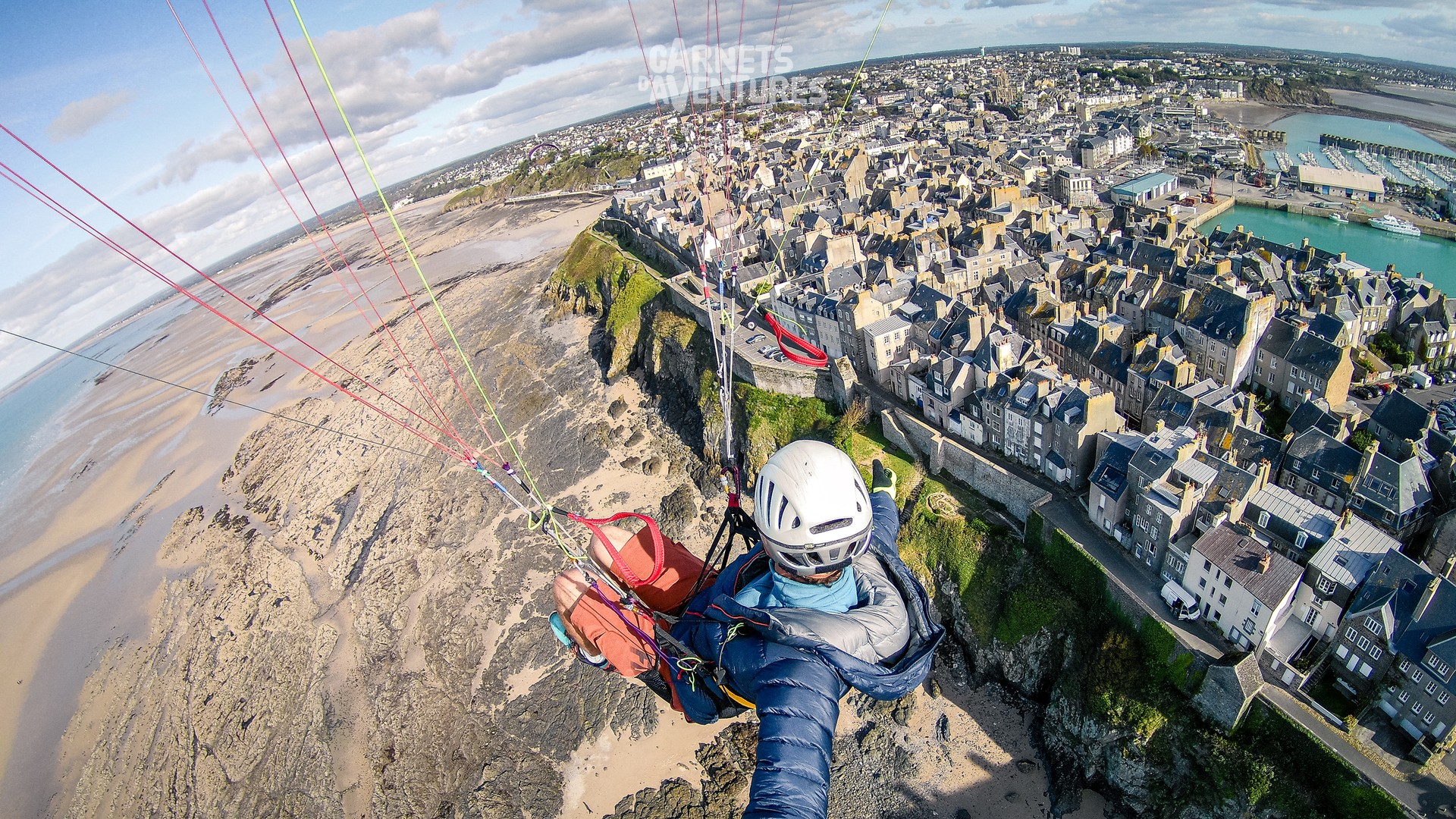
Photo by Bruno Pigalle.
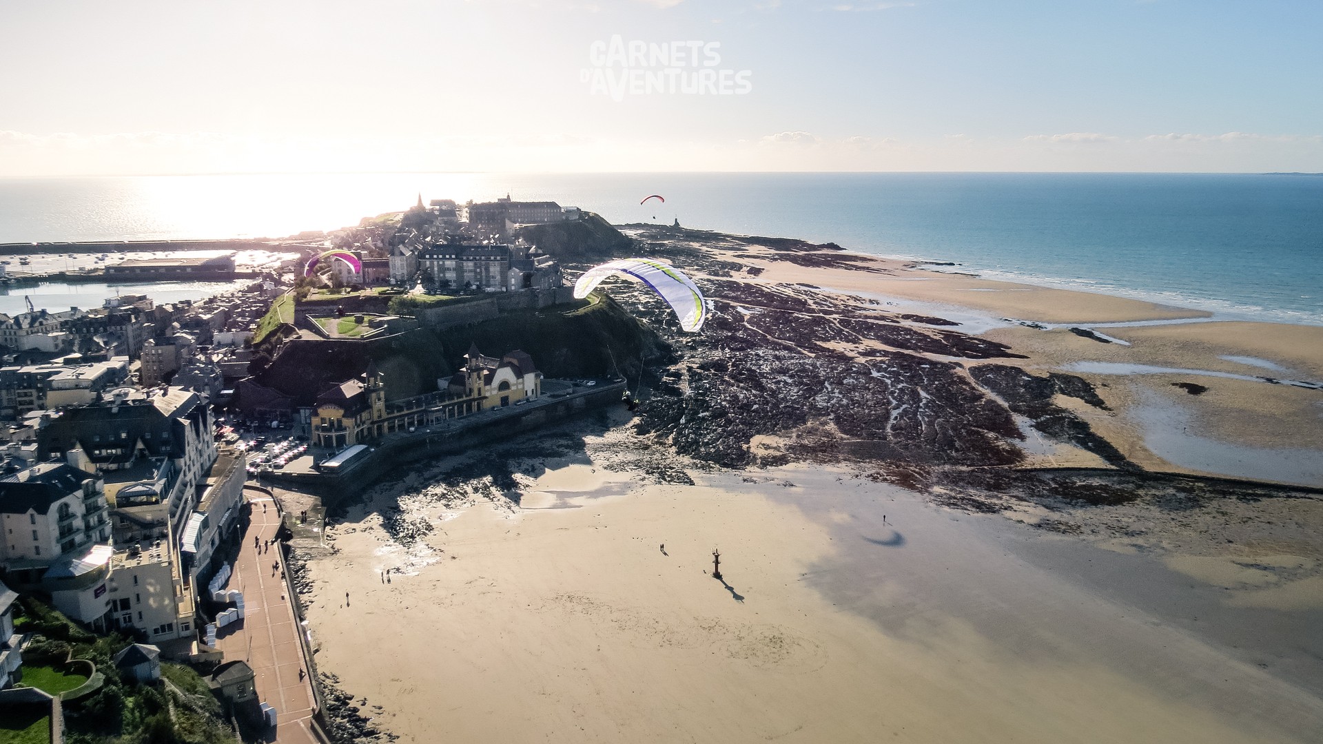
Some passers-by recognised me from below, thanks to my distinctive sail! Another unforgettable day.
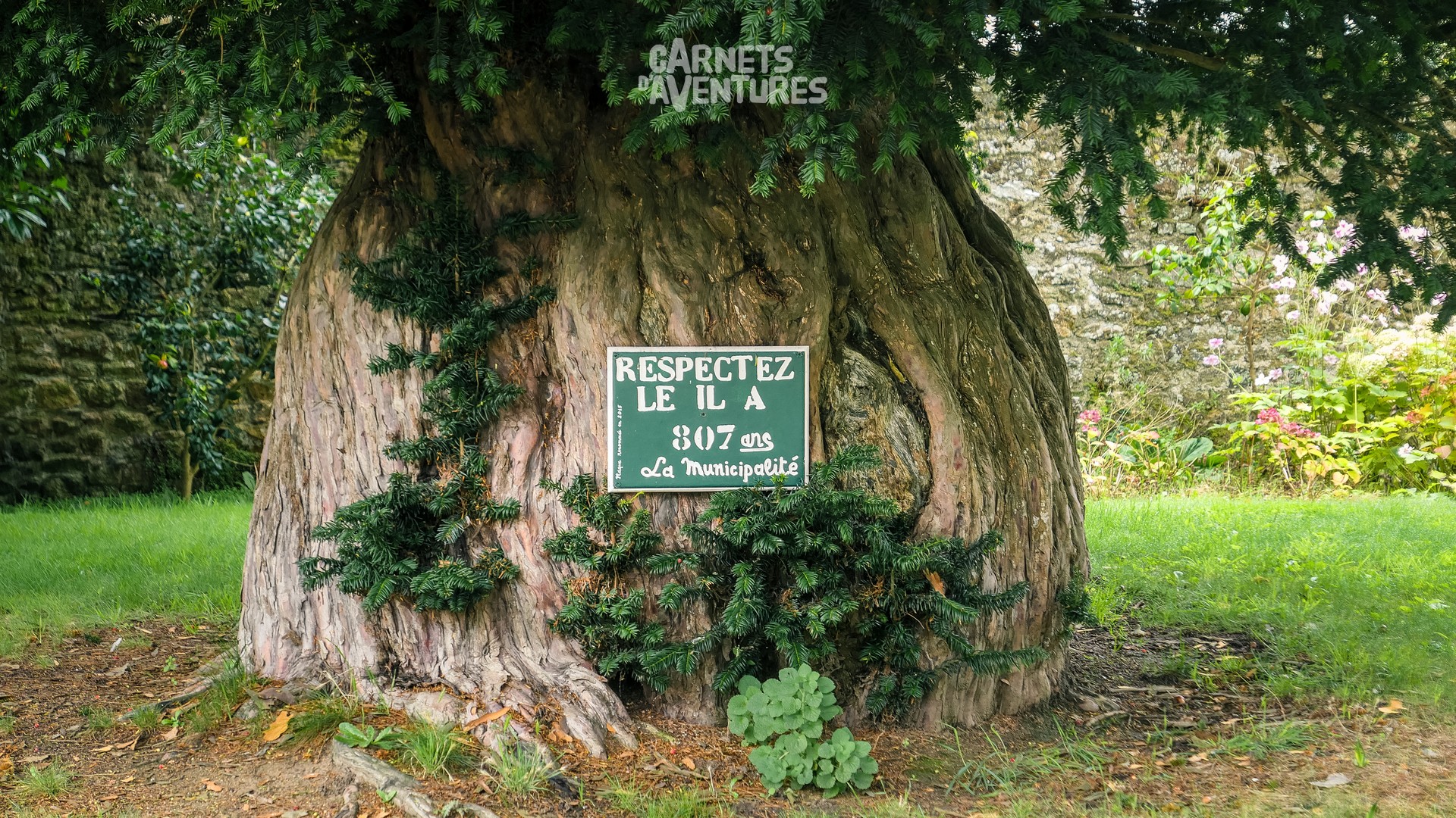
I was hoping to fly in front of the Mont Saint Michel, but the weather took a turn for the worse. I wait patiently, but not as long as this tree has...
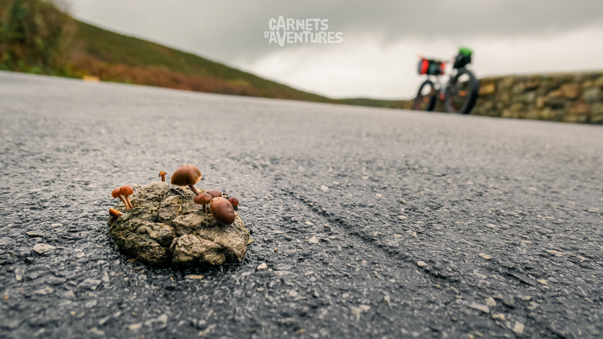
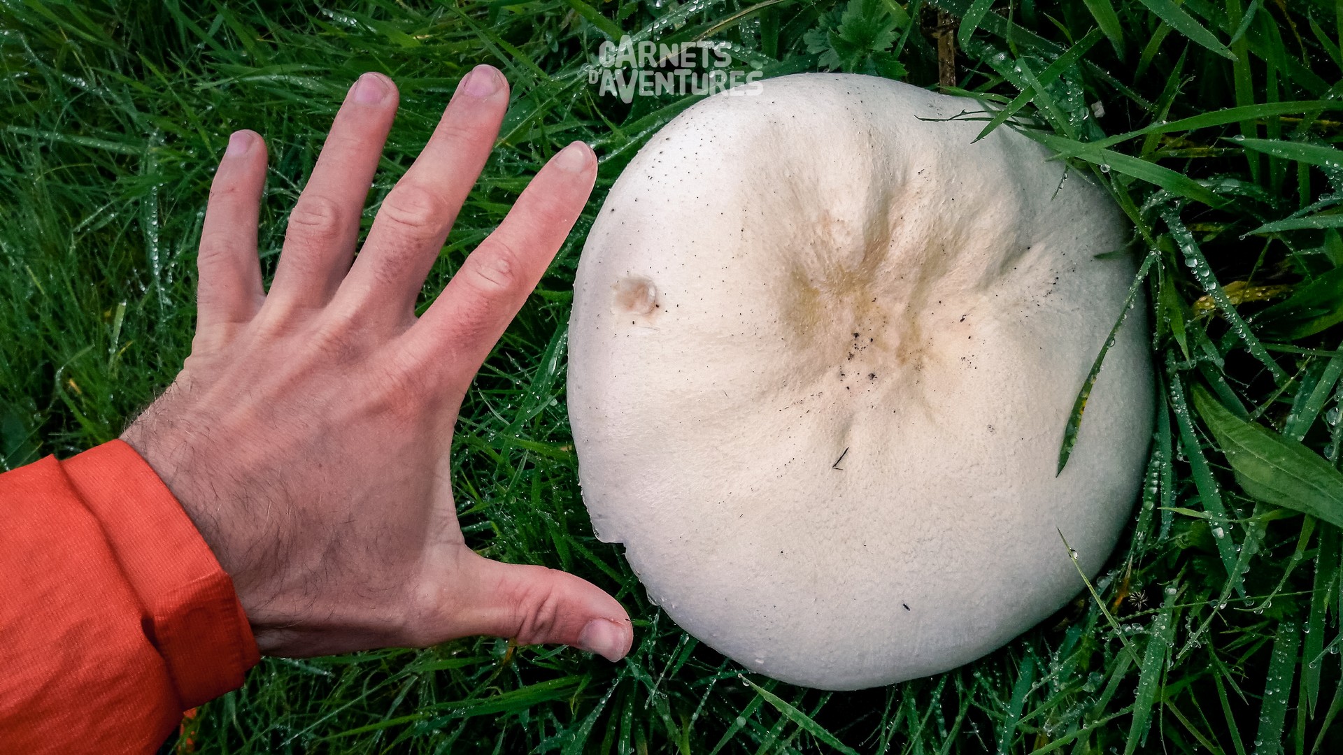
I spend a few days in the area, waiting for a good opportunity. But the weather shows no sign of improvement, better for mushroom picking than paragliding...
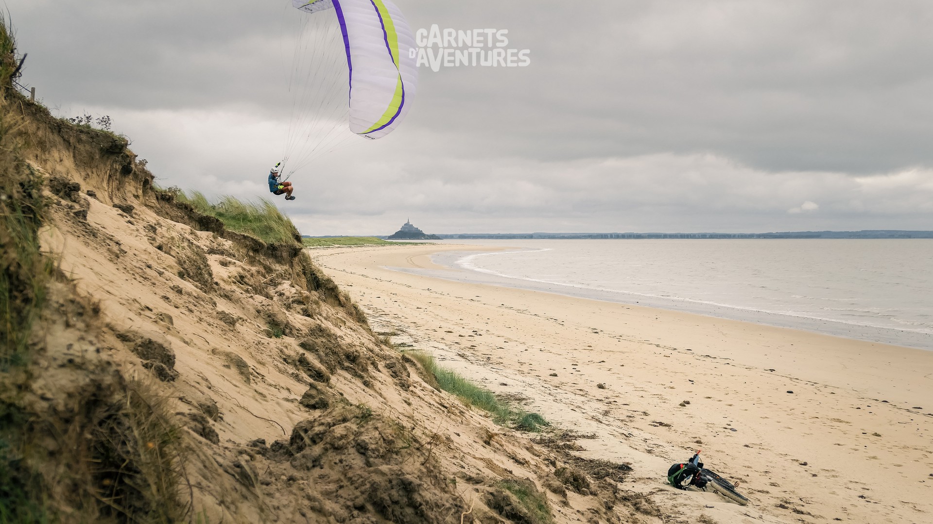
Just as I'm about to leave I come across a well-orientated small dune with a light breeze. The window of opportunity is short, but I get to fly with a view of the Mont Saint Michel!
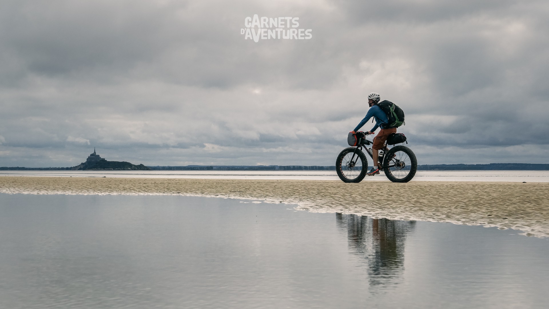
When the tide coefficient is low, it's possible to cross directly from here (with a guide) to the Mont Saint Michel. But the tides are high at the moment...
...so I have to circumvent the Sée and Sélune estuaries in order to join the coast again. On a map it's an enormous detour via Avranches.
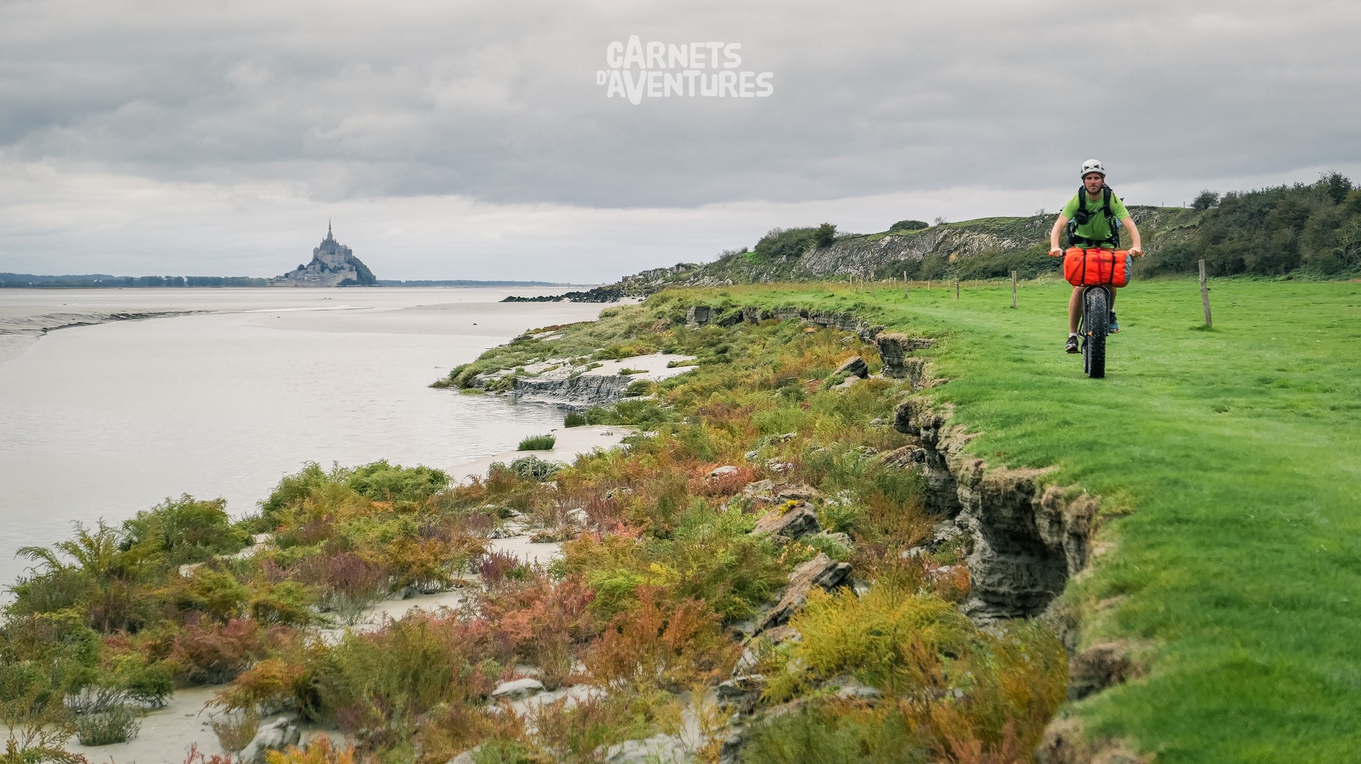
The Pointe de Roche Torin. I close in on the Mont Saint Michel once again.
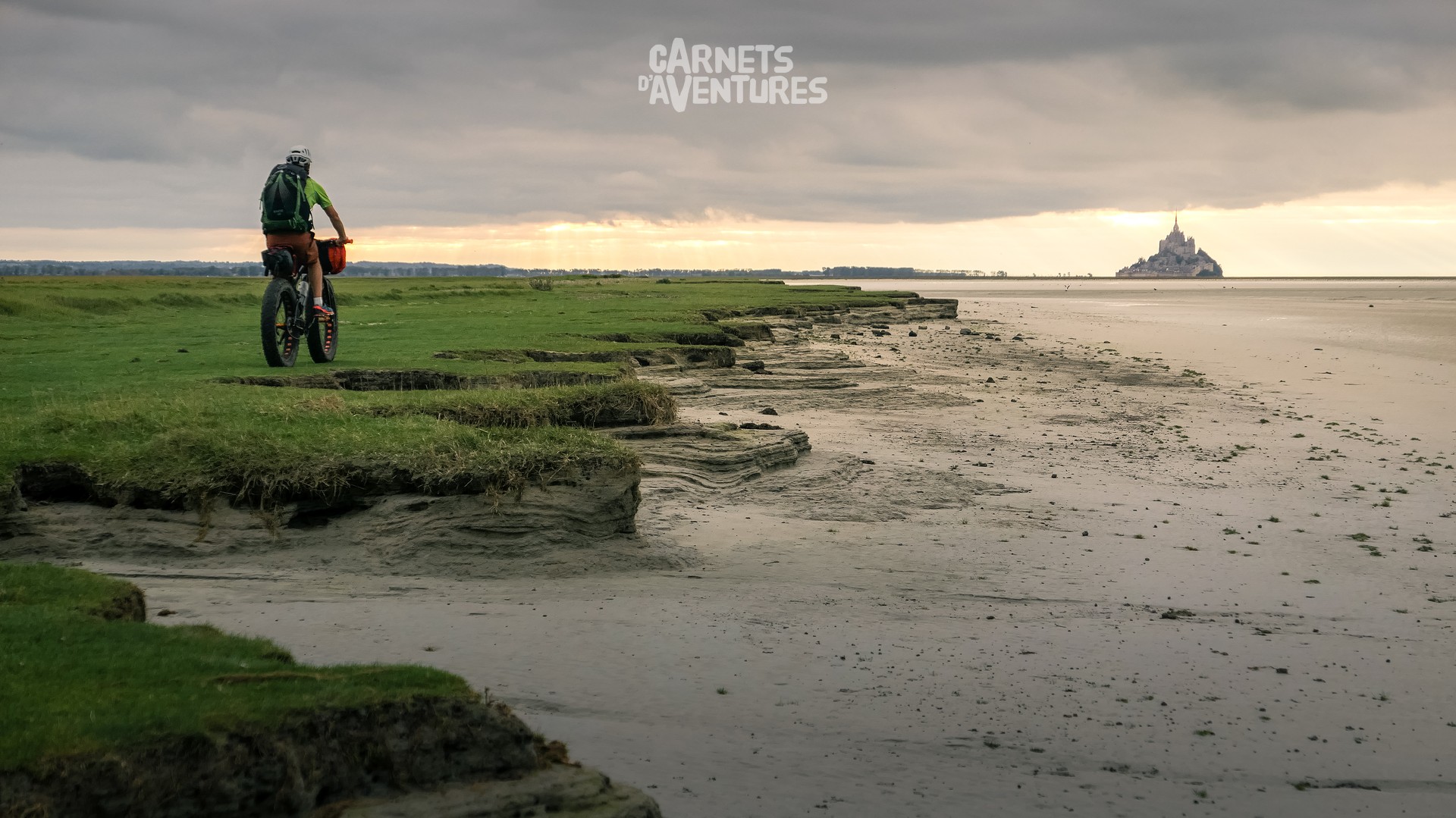
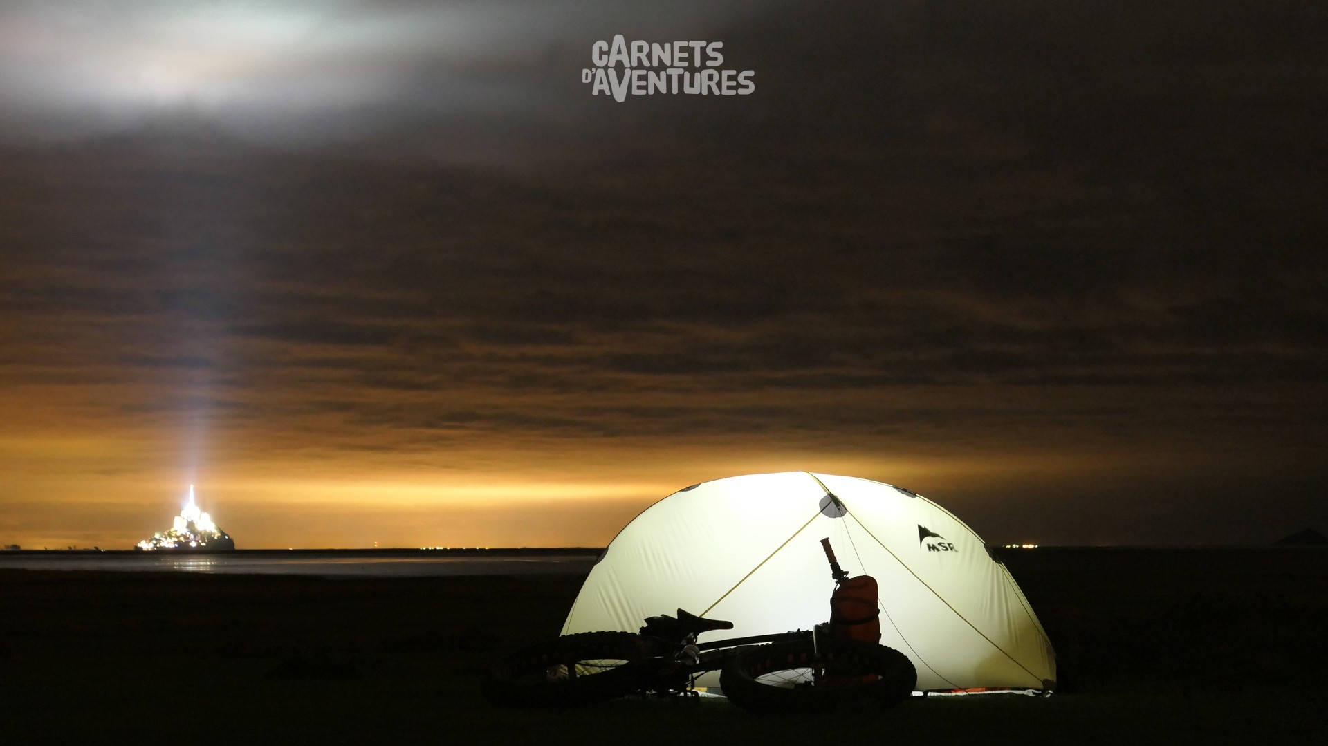
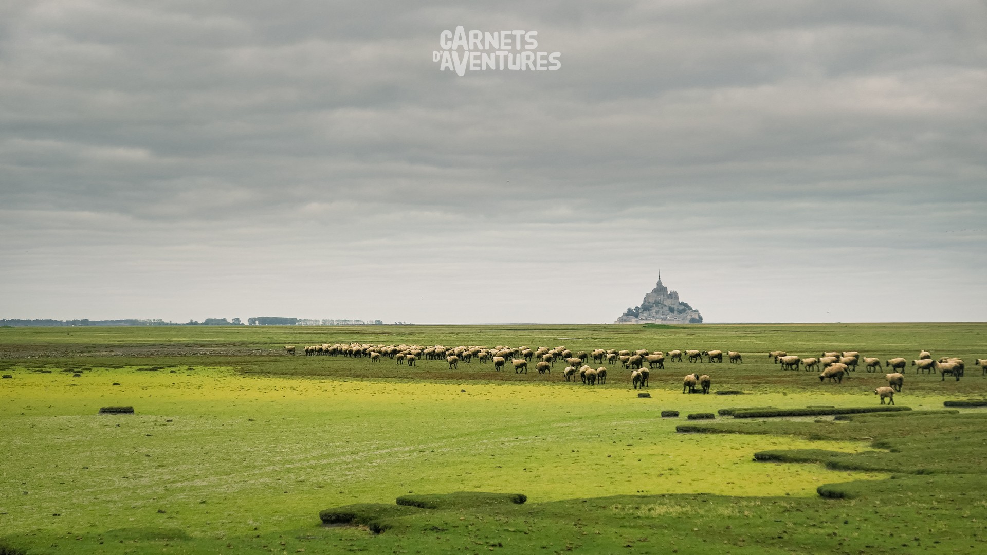
Sheep on salt water fields: herbivores and their grazing land, a centuries old tradition, and picture postcard image.
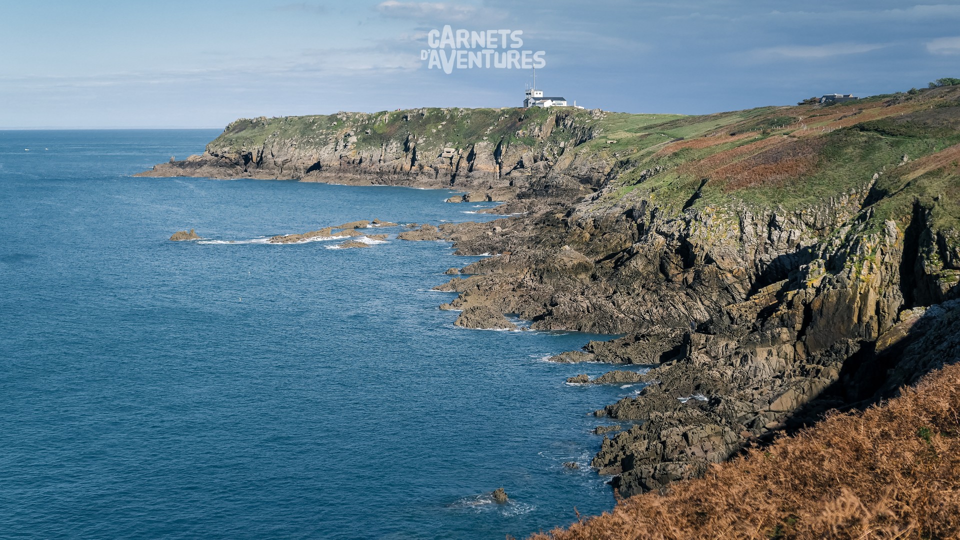
From here I enter Brittany. The steep, rocky coastline becomes predominant, the beaches limited to occasional small bays. And mountain biking is illegal on the majority of the coastal path.
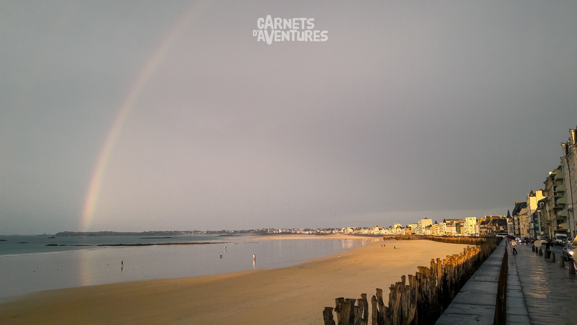
I finish my journey in Saint Malo with a wink from the weather, and a double dose of Kouign Amann. This first bike and paragliding journey surely wont be the last...!
/

